The best hikes in Terra de Caldelas
Spain · 5 HiiKER Hikes
View Hikes on map


What to expect
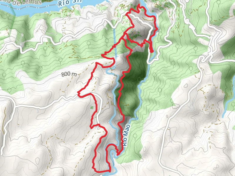
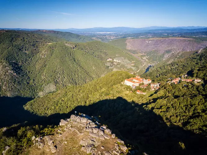
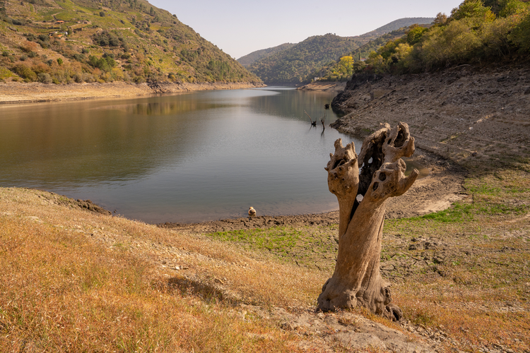
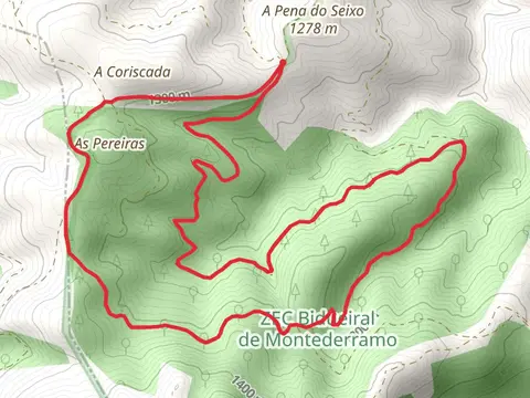
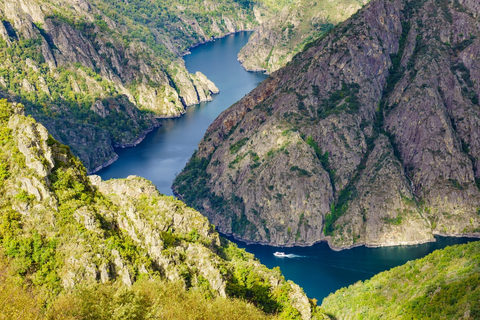
Check out some of the best hiking, walking and backpacking routes in Terra de Caldelas, Spain. The PR G 182 Ruta do bidueiral de Gabín is the most popular trail. The trail with the highest elevation climb is the PR G 182 Ruta do bidueiral de Gabín and the trail with the least amount of climbing is the PR G 86 Sendeiro dos viñedos da Ribeira Sacra. The longest trail is the Sil Canyon - Santa Cristina PR G 098 at 18.3 km. For a shorter adventure you can try the PR G 182 Ruta do bidueiral de Gabín at 9.5 km. Get off line access to Restaurant, Peak, Water, and Viewpoint locations and much more with a Hiiker subscription.

Be prepared for hiking in Spain with the HiiKER app