Download
3D Flyover
Add to list
More
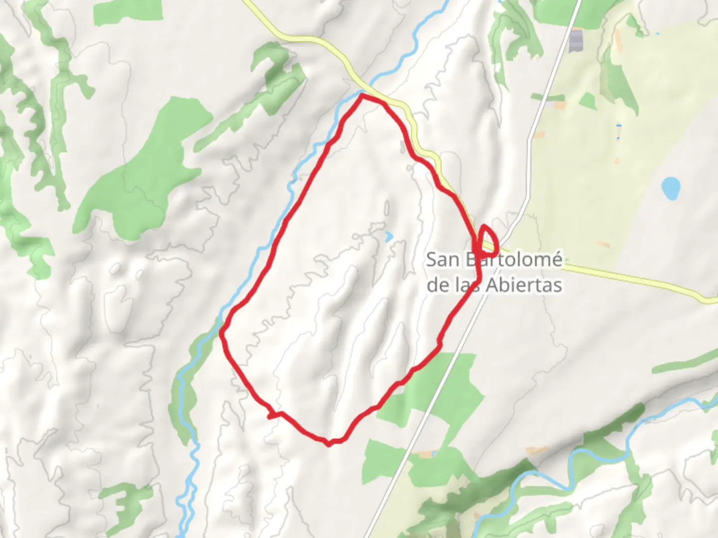
Trail length
16.6 km
Time
~3 hrs 42 min
Elevation Gain
234 m
Hike Type
Loop
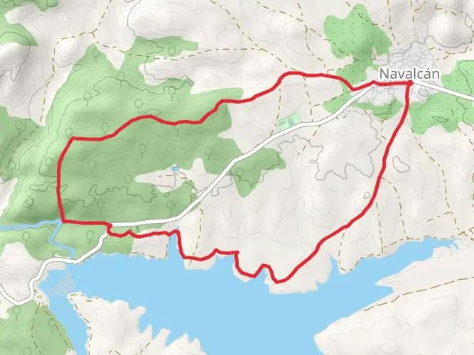
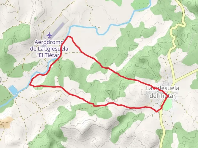
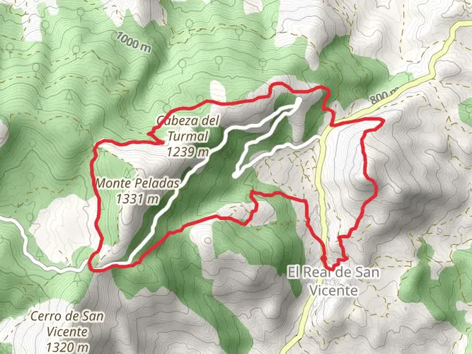
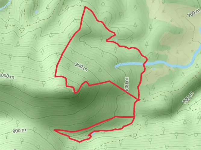
The Sangrera River Valley PR TO 35 is a 16.6 km looped trail that starts and ends in San Bartolomé de las Abiertas, San Bartolomé de las Abiertas, Spain. Based on our data, the hike is graded as Easy. For information on how we grade trails, please read measuring the difficulty of a hiking trail on hiiker. Also, check our latest community posts for trail updates. This hike can be completed in approx 3 hrs 43 mins. Caution is advised on trail times as this depends on multiple variables. For more info read about how we calculate hike time.

Comments and Reviews
User comments, reviews and discussions about the Sangrera River Valley PR TO 35, Spain.
average rating out of 5
0 rating(s)