The best hikes in Comarca de la Vega de Granada
Spain · 17 HiiKER Hikes
View Hikes on map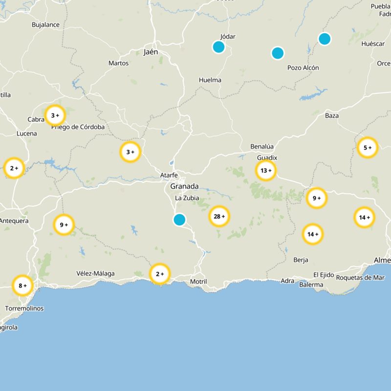

What to expect
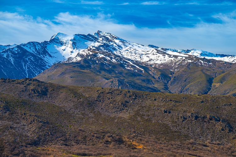
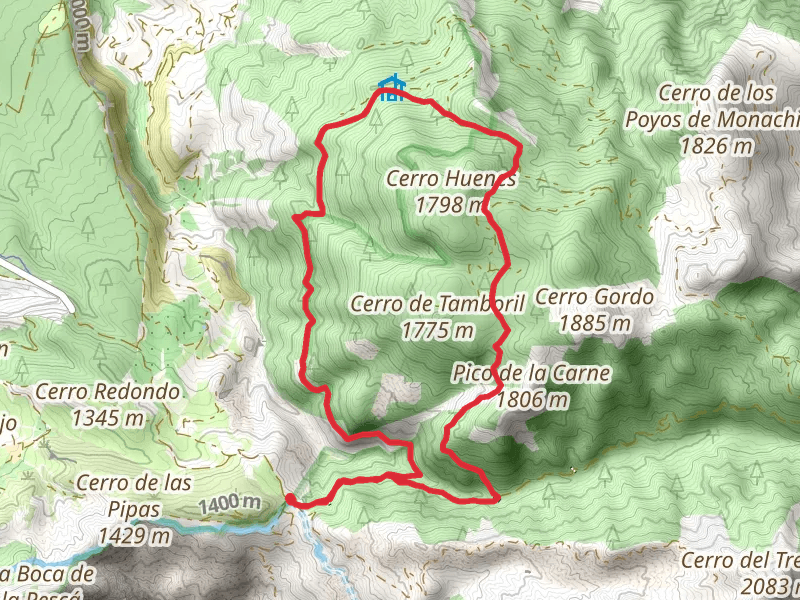
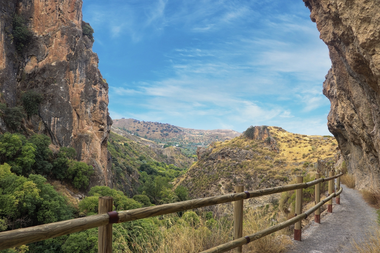
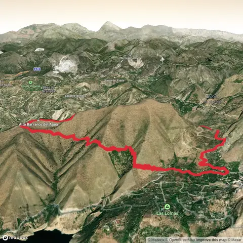
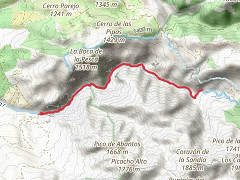
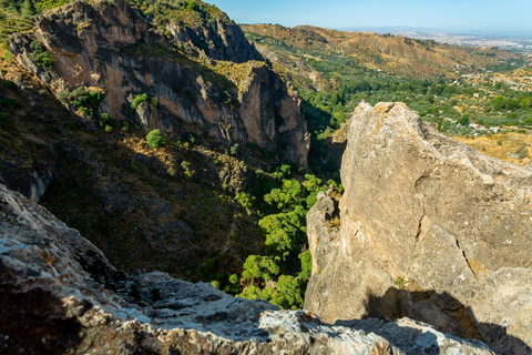
Check out some of the best hiking, walking and backpacking routes in Comarca de la Vega de Granada, Spain. The GR 240 Sendero Sulayr is the most popular trail. There are trails of various difficulty levels including medium, difficult, and extra difficult. The trail with the highest elevation climb is the Refugio del Poqueira and the trail with the least amount of climbing is the Cahorros Río Monachil. The longest trail is the GR 240 Sendero Sulayr at 292.9 km. For a shorter adventure you can try the Cahorros Río Monachil at 4.1 km. Get off line access to Healthcare, Restaurant, Peak, and Water locations and much more with a Hiiker subscription.

Be prepared for hiking in Spain with the HiiKER app