The best hikes in Caso
Spain · 9 HiiKER Hikes
View Hikes on map


What to expect
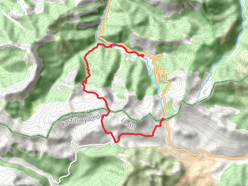
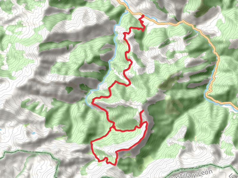
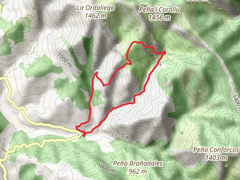
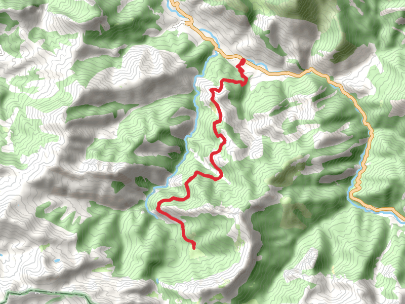
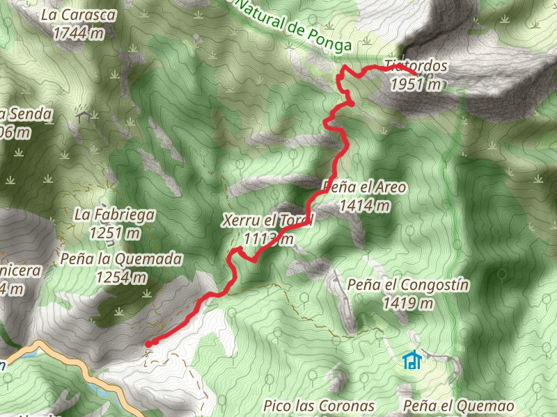
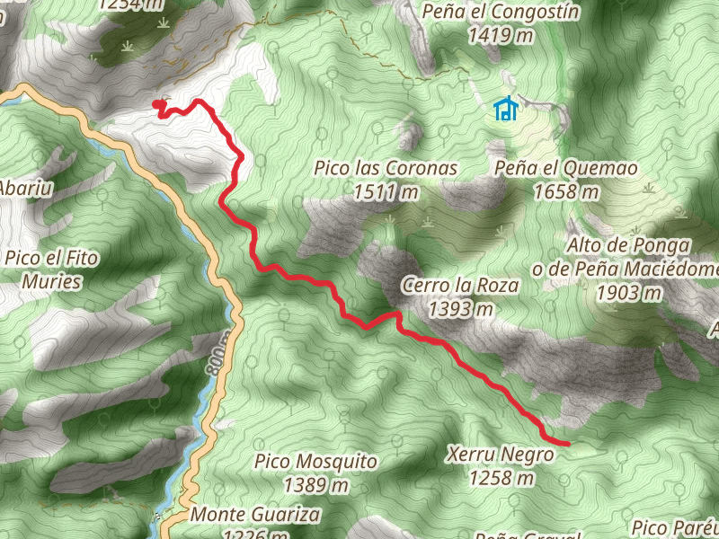
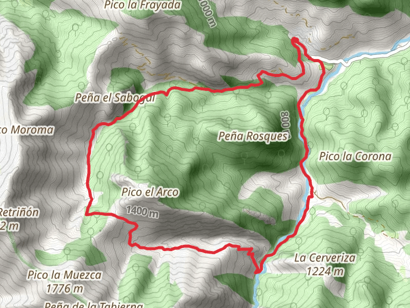
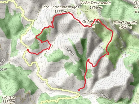
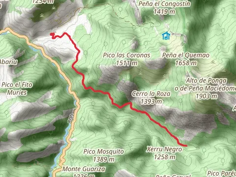
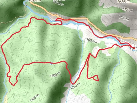
Check out some of the best hiking, walking and backpacking routes in Caso, Spain. The Tabayón Waterfall is the most popular trail. The trail with the highest elevation climb is the Tiatordos Route and the trail with the least amount of climbing is the Banners- Vega Baxu Route. The longest trail is the Bear Song Route via Route of Brañagallones at 31.2 km. For a shorter adventure you can try the Snow Route - Orle by Llagu Ovia at 8.1 km. Get off line access to Shelter, Restaurant, Water, and Peak locations and much more with a Hiiker subscription.

Be prepared for hiking in Spain with the HiiKER app