The best hikes in Bajo Guadalentín
Spain · 16 HiiKER Hikes
View Hikes on map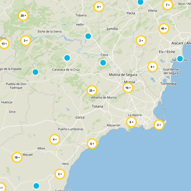

What to expect
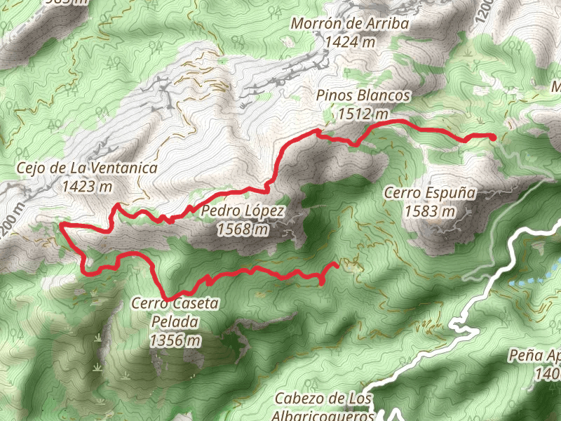
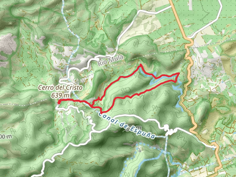
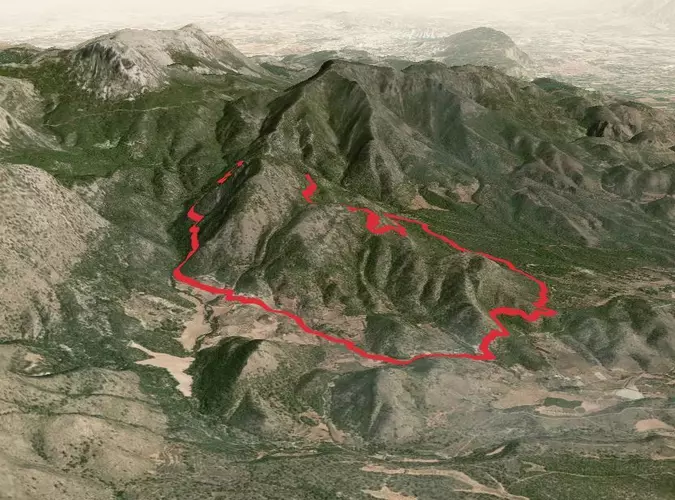
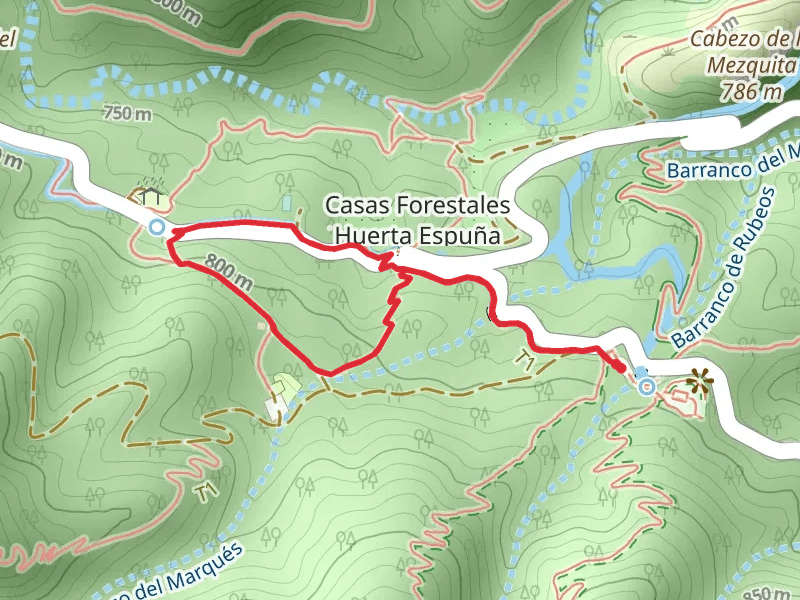
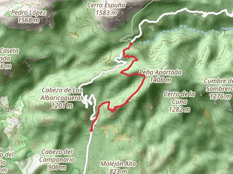
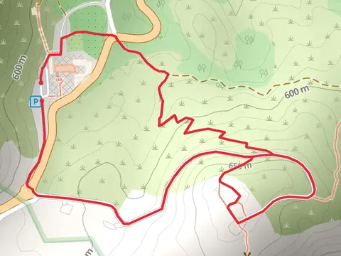
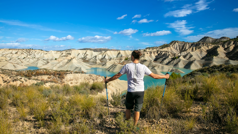
Check out some of the best hiking, walking and backpacking routes in Bajo Guadalentín, Spain. The Path of Pedro Lopez - Sierra Espuña PR MU 63 is the most popular trail. There are trails of various difficulty levels including easy, medium, difficult, and extra difficult. The trail with the highest elevation climb is the Path of Pedro Lopez - Sierra Espuña PR MU 63 and the trail with the least amount of climbing is the Fuente del Borrego Trail PR MU 111. The longest trail is the GR 252 Camino de la Cruz del Bajo Guadalentín at 119.8 km. For a shorter adventure you can try the Ricardo Codorníu Trail - Sierra Espuña - SL MU 1 at 2.4 km. Get off line access to Water, Restaurant, History, and Peak locations and much more with a Hiiker subscription.

Be prepared for hiking in Spain with the HiiKER app