Download
3D Flyover
Add to list
More
317.3 km
~12 days
3513 m
Multi-Day
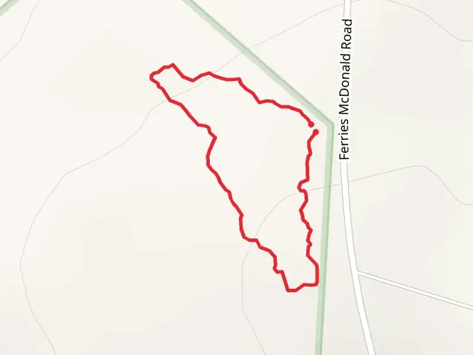
The Lavender Federation Trail is a 317.3 km trail that starts in Murray Bridge, Murray Bridge, South Australia. Based on our data, the hike is graded as Easy. For information on how we grade trails, please read measuring the difficulty of a hiking trail on hiiker. Also, check our latest community posts for trail updates. This hike can be completed in approx 12 days. Caution is advised on trail times as this depends on multiple variables. For more info read about how we calculate hike time.

What to expect?
Activity types
Frequently asked questions
How long does it take to hike the Lavender Federation Trail end to end?
The Lavender Federation Trail is 317.27 km long, so it is a true multi-day walk rather than a weekend hike. A full end-to-end trip is commonly planned over about 14 to 16 days, with the route running from Murray Bridge to Clare through the eastern Mount Lofty Ranges.
Where does the Lavender Federation Trail start and finish in South Australia?
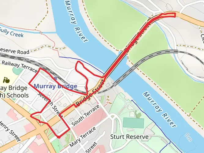
The Lavender Federation Trail begins in Murray Bridge, with the southern trailhead at Sturt Reserve on the Murray River, and it finishes in Clare. The route links the Murray River district with the Clare Valley, passing through inland farming country and sections of the Mount Lofty Ranges.
How hard is the Lavender Federation Trail and how much climbing is on it?
The Lavender Federation Trail is graded easy in this listing, but the full route still covers 317.27 km with 3,513 m of total elevation gain. That means the challenge comes more from the distance and the number of days required than from steep alpine-style climbing.
What towns and landmarks does the Lavender Federation Trail pass through?
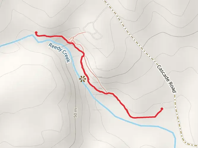
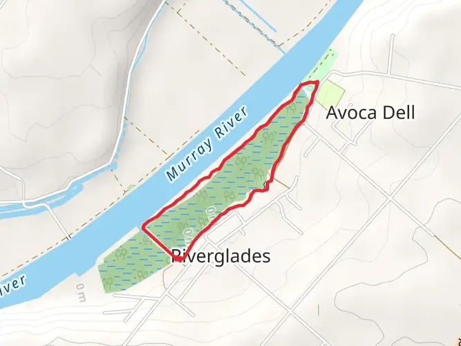
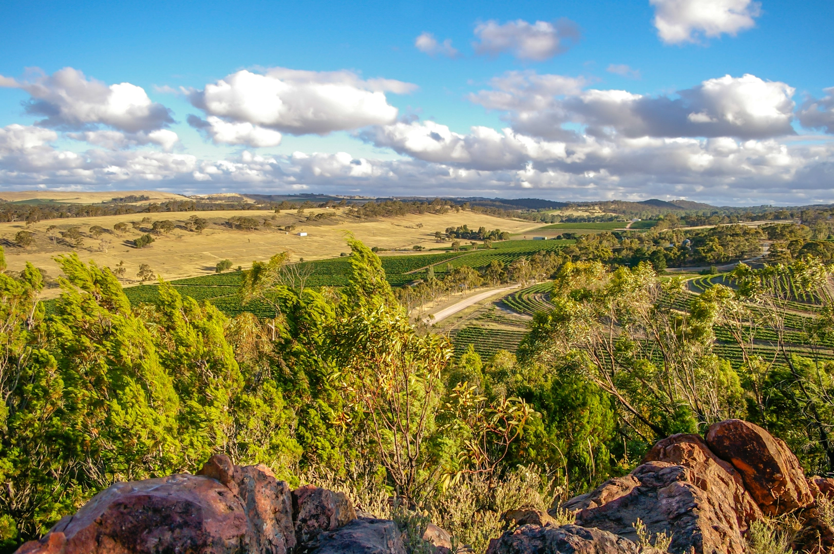
The Lavender Federation Trail runs from Murray Bridge to Clare and is widely described as passing through the eastern Mount Lofty Ranges, with sections linked to places such as Dutton, Eudunda, Webb Gap, the Barossa district, and the Clare Valley. Notable features mentioned along the route include Sturt Reserve, the Murray River, Munchenberg Gorge, and views near Mount Horrocks in the Clare region.
What is the best time of year to walk the Lavender Federation Trail?
The Lavender Federation Trail is generally considered walkable year-round, but the most favorable months are usually March through November. Those cooler months are better suited to a 317.27 km South Australian multi-day walk than the hotter summer period, especially on exposed rural sections.
Can the Lavender Federation Trail be hiked in sections instead of all at once?
Yes. Although the Lavender Federation Trail is a 317.27 km end-to-end route, it is commonly walked in shorter sections over multiple trips. That makes it practical to break the trail into manageable stages between access points and nearby towns rather than committing to the full Murray Bridge to Clare journey in one go.
Comments and Reviews
User comments, reviews and discussions about the Lavender Federation Trail, South Australia.
4.71
average rating out of 5
7 rating(s)