The best hikes in Mareeba Shire
Queensland · 7 HiiKER Hikes
View Hikes on map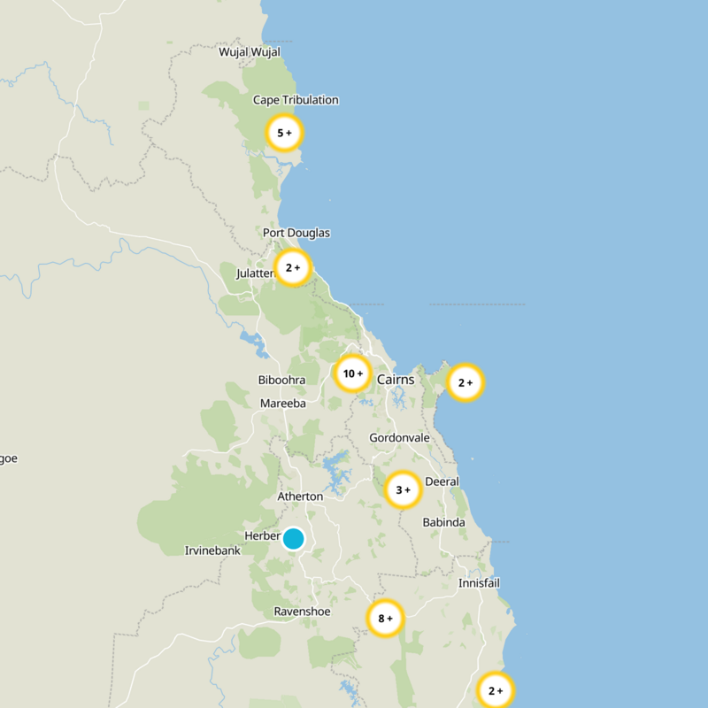
What to expect
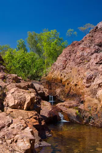
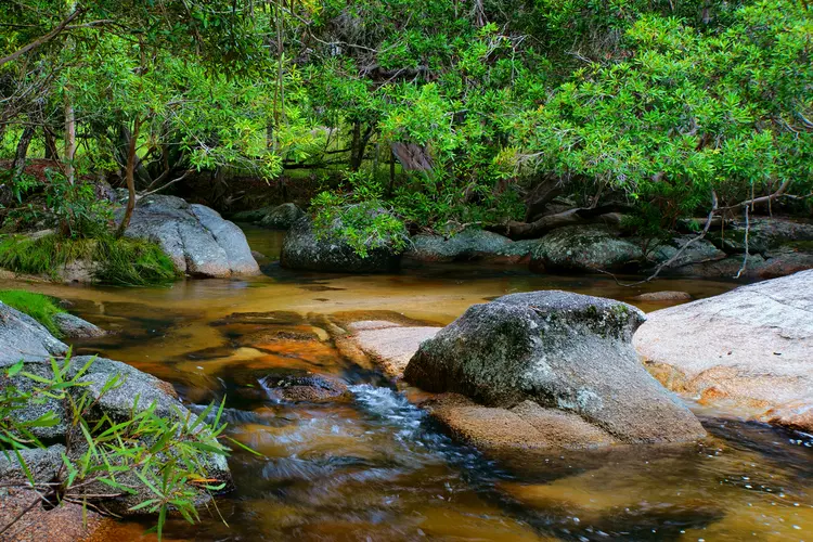
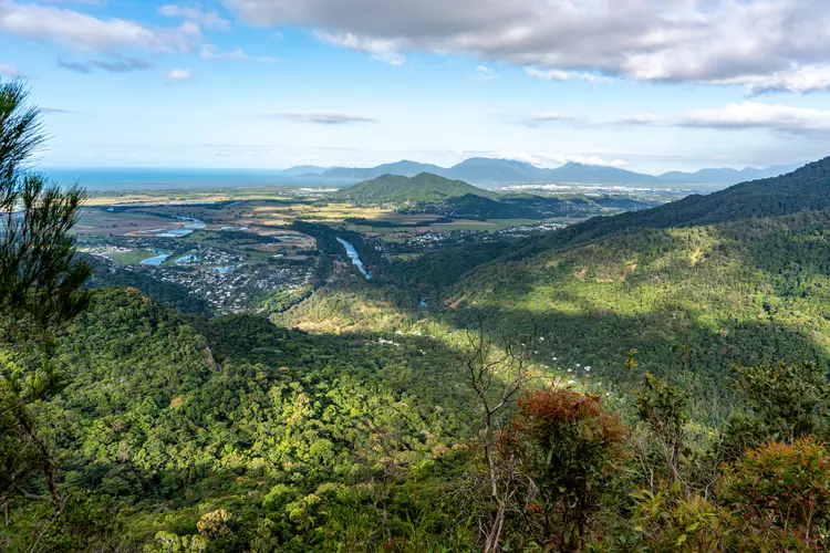
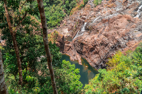
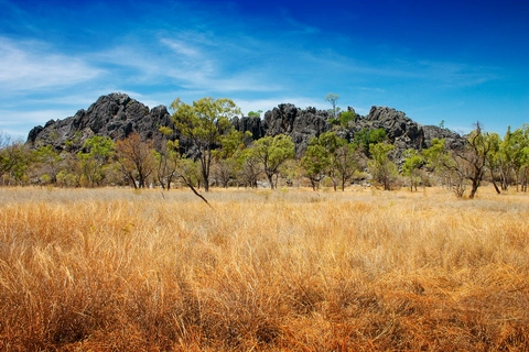
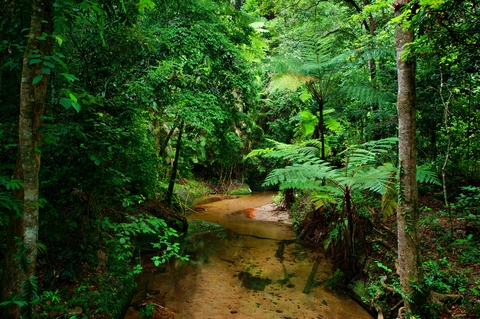
Check out some of the best hiking, walking and backpacking routes in Mareeba Shire, Queensland. The McDonalds Track is the most popular trail. There are trails of various difficulty levels including easy, medium, and difficult. The trail with the highest elevation climb is the Kahlpahlim Rock Circuit Tarck and the trail with the least amount of climbing is the Royal Arch Track. The longest trail is the Kahlpahlim Rock Circuit Tarck at 13 km. For a shorter adventure you can try the Djina - Wu Track at 2 km. Get off line access to Bus Stop, Water, Peak, and Viewpoint locations and much more with a Hiiker subscription.

Be prepared for hiking in Queensland with the HiiKER app