The best hikes in Cassowary Coast Regional
Queensland · 13 HiiKER Hikes
View Hikes on map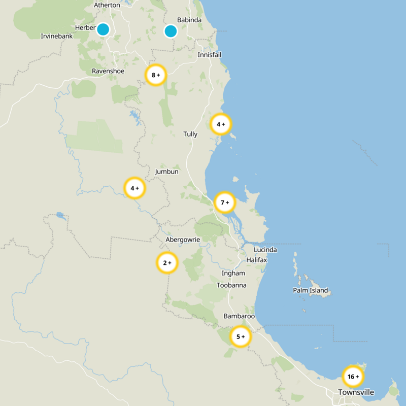
What to expect
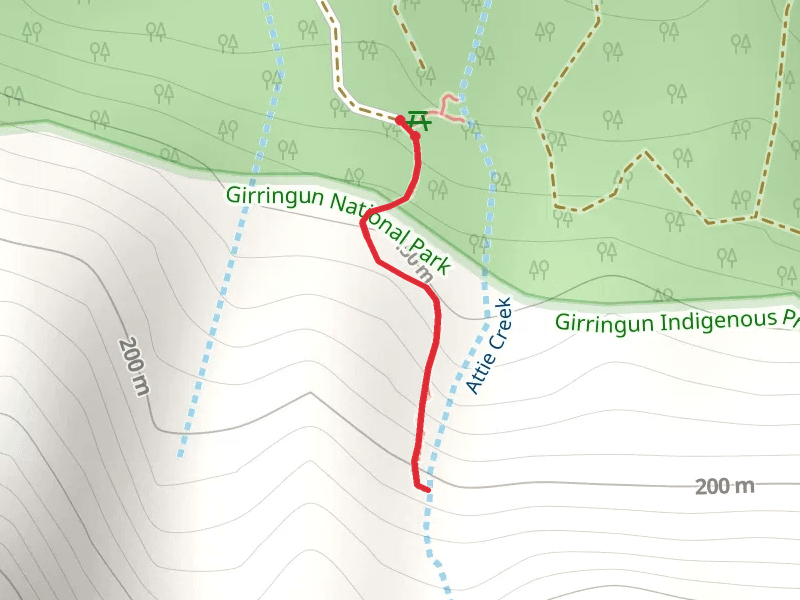
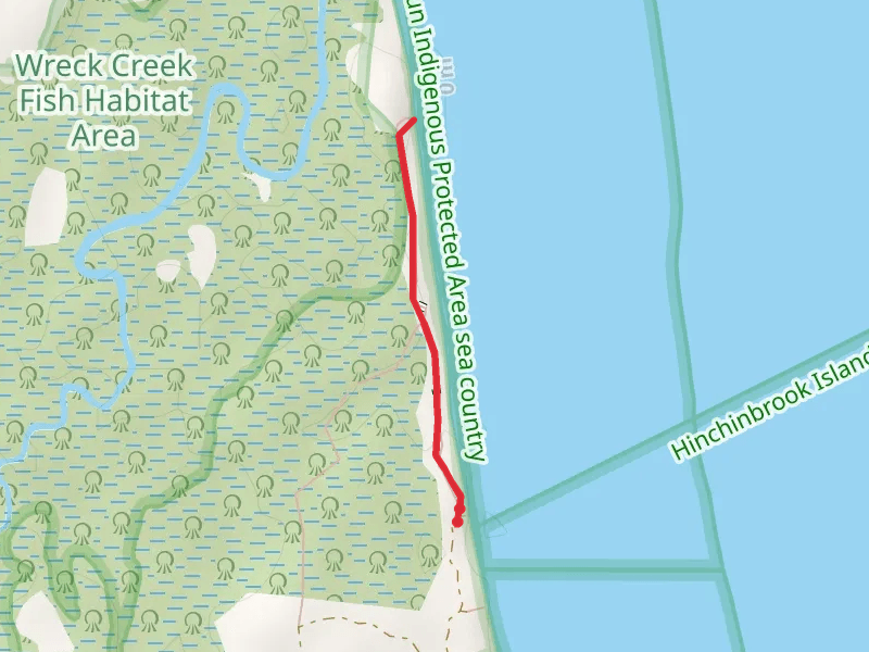
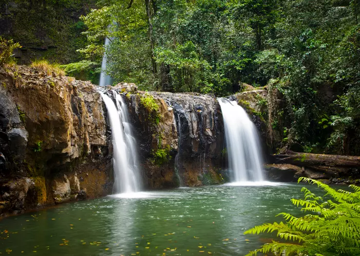
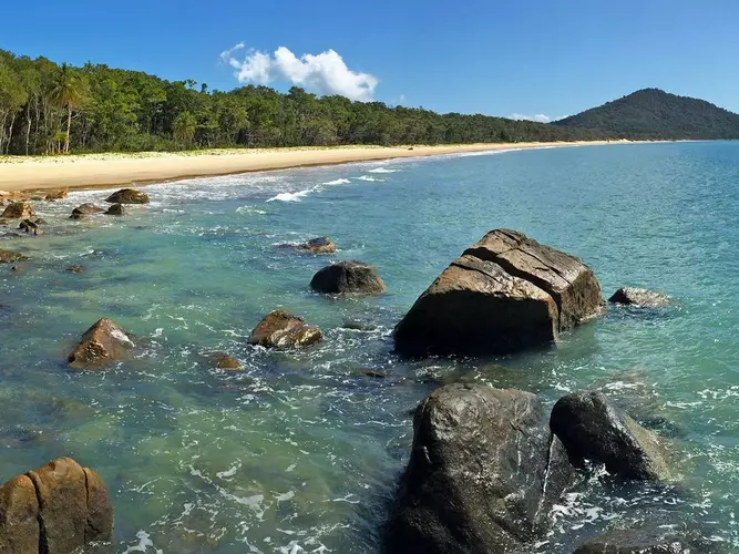
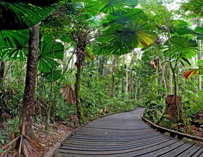
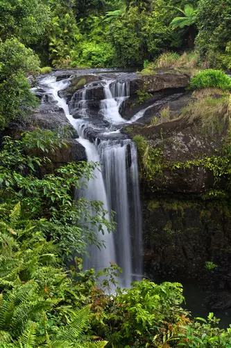
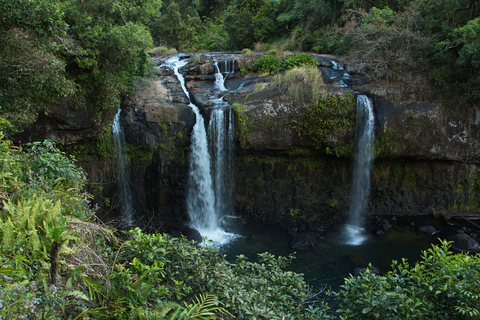
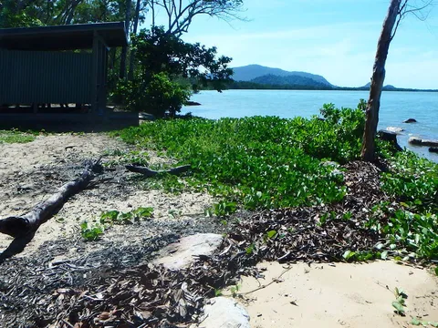
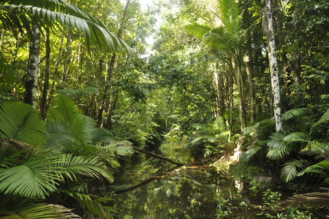
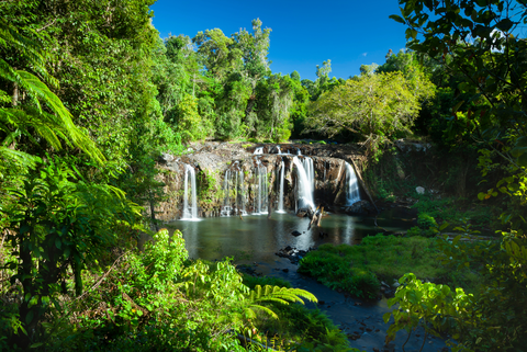
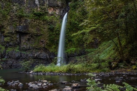
Check out some of the best hiking, walking and backpacking routes in Cassowary Coast Regional, Queensland. The Island Loop Track - Dunk Island is the most popular trail. There are trails of various difficulty levels including easy, medium, and difficult. The trail with the highest elevation climb is the Nandroya Falls Track and the trail with the least amount of climbing is the Wreck Creek Walk. The longest trail is the Island Loop Track - Dunk Island at 9.3 km. For a shorter adventure you can try the Attie Creek Falls Walk at 1.0 km. Get off line access to Shelter, Campsite, Peak, and Water locations and much more with a Hiiker subscription.

Be prepared for hiking in Queensland with the HiiKER app