Download
Preview
Add to list
More
32.5 km
~2 days
2381 m
Multi-Day
The Inca Trail is a 32.5 km trail that starts in Machupicchu, Ollantaytambo, Peru. Based on our data, the hike is graded as Extra Difficult. For information on how we grade trails, please read measuring the difficulty of a hiking trail on hiiker. Also, check our latest community posts for trail updates. This hike can be completed in approx 2 days. Caution is advised on trail times as this depends on multiple variables. For more info read about how we calculate hike time.

Frequently asked questions
How long is the Inca Trail hike from Ollantaytambo to Machu Picchu?
The Inca Trail on this route is 32.52 km long, or just over 20 miles. It is typically completed as a multi-day trek, and the classic version is usually walked over 4 days, finishing at Machu Picchu via Inti Punku, the Sun Gate.
How many days does the Inca Trail take to complete?
This Inca Trail route is a multi-day hike with 32.52 km of trail and 2,381 m of climbing, so it is not a single-day walk. Most hikers know the classic Inca Trail as a 4-day trek, with overnight stops before the final approach to Machu Picchu.
What is the route of the Inca Trail to Machu Picchu?
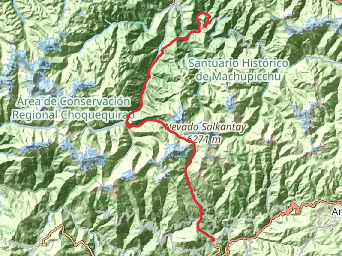
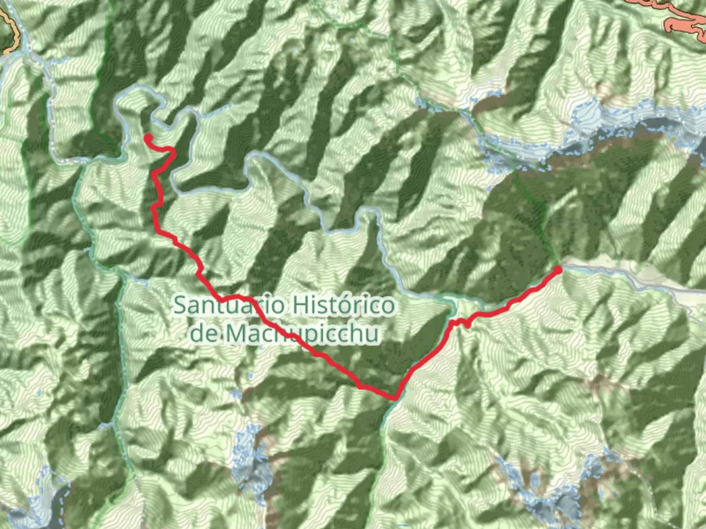
The classic Inca Trail begins near Km 82 in the Sacred Valley and follows an old Inca route through the Andes toward Machu Picchu. Well-known points on the route include Wayllabamba, Warmiwañusca or Dead Woman’s Pass, Pacaymayo, Wiñay Wayna, and Inti Punku, where the first full view toward Machu Picchu is reached.
How difficult is the Inca Trail hike in Peru?
The Inca Trail is rated Extra Difficult, with 2,381 m of elevation gain over 32.52 km. The combination of sustained climbing, high altitude, stone steps, and multi-day effort makes it a demanding trek even for experienced hikers.
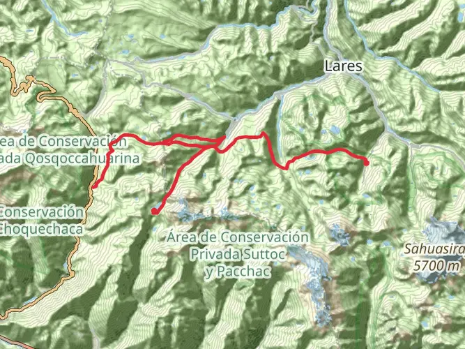
What country is the Inca Trail in, and where does the Inca Trail start?
The Inca Trail is in Peru, in the Cusco region near Ollantaytambo. The classic route starts in the Sacred Valley near the railway marker known as Km 82 and then heads through the Historic Sanctuary of Machu Picchu toward the citadel.
Can dogs go on the Inca Trail to Machu Picchu?
Dogs are not allowed on the Inca Trail route into Machu Picchu. Current conduct rules for Machu Picchu prohibit animals inside the sanctuary, with the exception of guide dogs, so this is not a dog-friendly hike.
Is the Inca Trail open year-round?
The Inca Trail is not open year-round. The route is typically closed for the month of February for annual maintenance and conservation work during the rainy season, while the rest of the year operates under controlled access to protect the trail and archaeological sites.
Comments and Reviews
User comments, reviews and discussions about the Inca Trail, Peru.
4.57
average rating out of 5
7 rating(s)