The best hikes in Lancaster County
Pennsylvania · 60 HiiKER Hikes
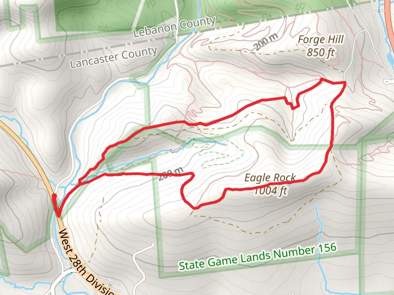
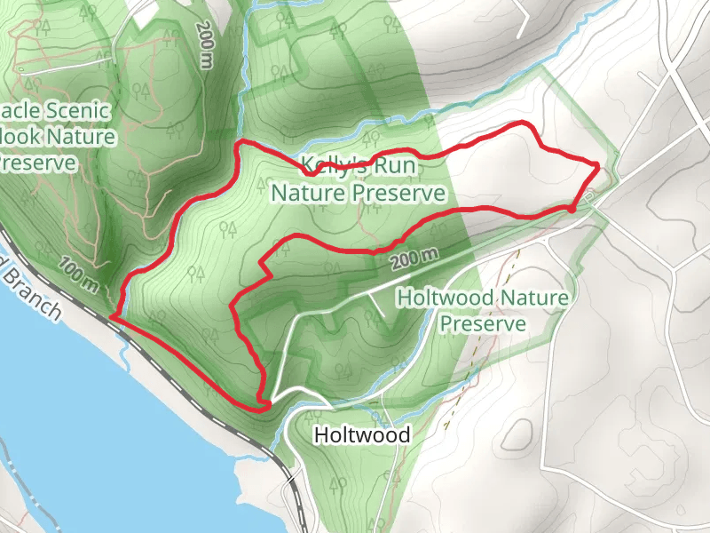
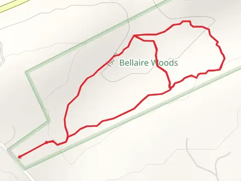
View Hikes on map
What to expect
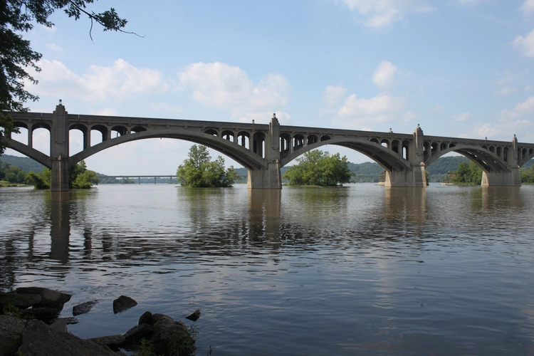
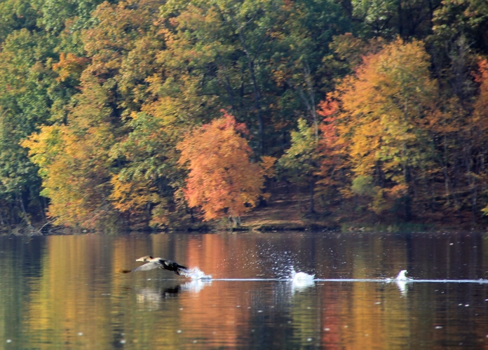
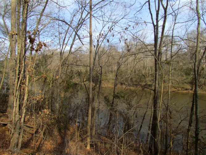
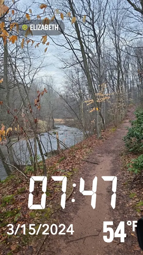
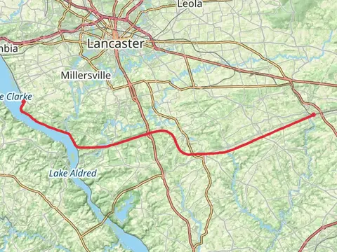
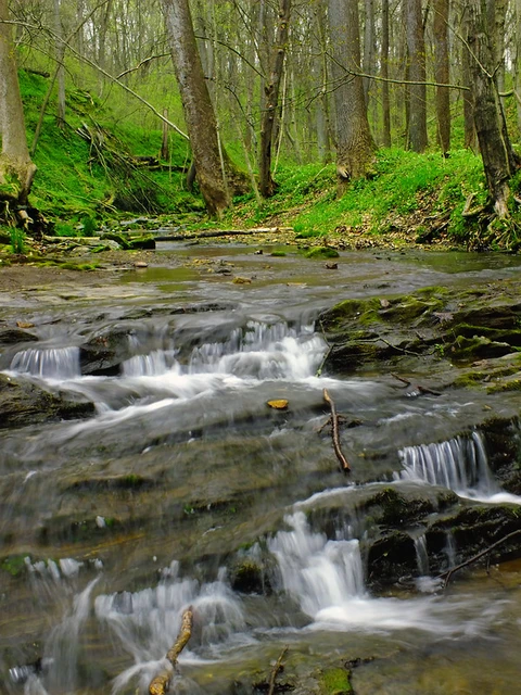
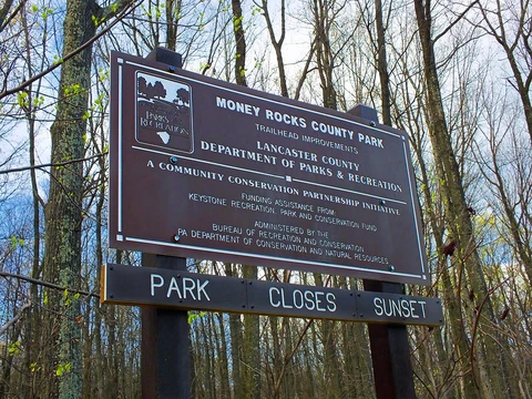
Check out some of the best hiking, walking and backpacking routes in Lancaster County, Pennsylvania. The Eagle Rock Loop Trail is the most popular trail. The trails have 1619 user reviews with great photos and information. There are trails of various difficulty levels including easy, medium, difficult, and extra difficult. The trail with the highest elevation climb is the Money Rocks County Park Loop and the trail with the least amount of climbing is the Pequea Creek from Martic Forge Road Out and Back. The longest trail is the Enola Low Grade Trail at 47.3 km. For a shorter adventure you can try the Wissler Run Nature Preserve and Overlook Trail at 495 m. Get off line access to Restaurant, Water, Fastfood, and Healthcare locations and much more with a Hiiker subscription.

Be prepared for hiking in Pennsylvania with the HiiKER app