Download
3D Flyover
Add to list
More
64.5 km
~3 days
1217 m
Multi-Day
“Embark on the Allegheny Front Trail for a historical hike through Pennsylvania's diverse and stunning wilderness.”
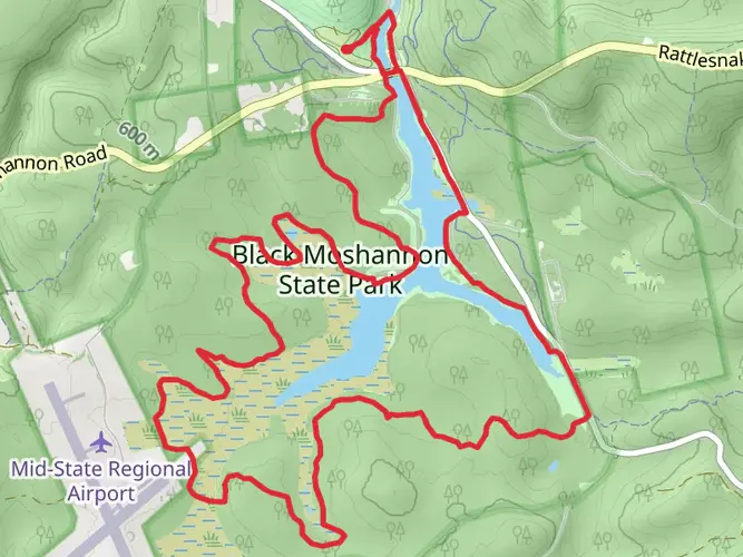
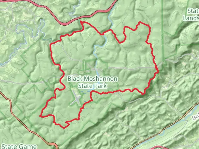
The Allegheny Front Trail, a scenic loop of approximately 65 kilometers (around 40 miles) with an elevation gain of roughly 1200 meters (almost 4000 feet), is nestled in the rugged terrain of Centre County, Pennsylvania. This medium-difficulty hike offers a diverse array of landscapes, from lush forests to meandering streams, and is a treasure trove for nature enthusiasts and history buffs alike.
Getting There To reach the trailhead, which is conveniently located near Black Moshannon State Park, hikers can drive to the park via PA-504, easily accessible from State College by following PA-150 North and then PA-504 East. For those relying on public transport, options are limited, but one can get as close as possible to State College and then consider local taxi services or ride-sharing options to reach the park.
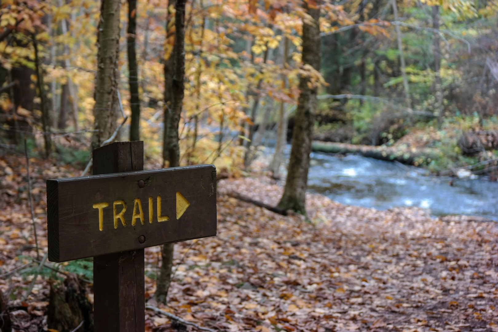
Navigating the Trail Hikers can rely on the HiiKER app for detailed maps and navigation assistance throughout their journey on the Allegheny Front Trail. The trail is well-marked with orange blazes, but having a digital tool can provide additional peace of mind and help with planning.
Trail Highlights and Landmarks As you embark on the trail, you'll be greeted by the dense canopy of the Moshannon State Forest, which is home to a variety of wildlife including white-tailed deer, black bears, and a plethora of bird species. The trail meanders through several different forest types, from hardwood stands to spruce and hemlock groves, offering a changing backdrop as you progress.
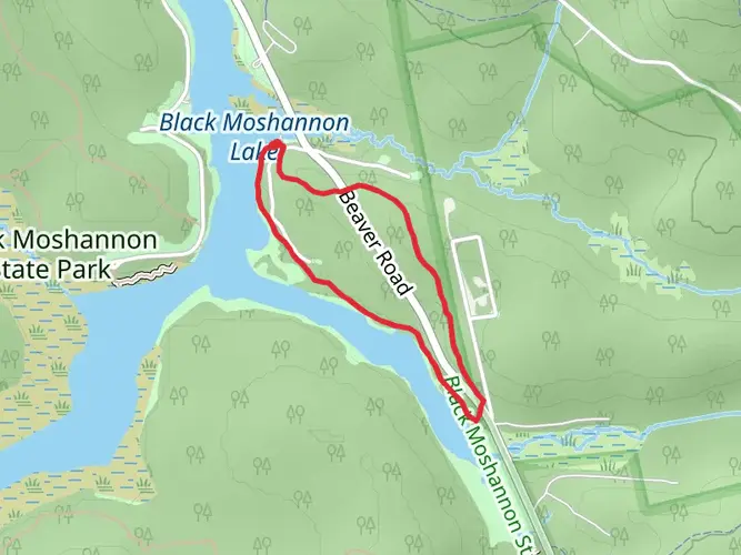
The first section of the trail introduces you to the Black Moshannon Bog Natural Area, a unique wetland ecosystem. Here, boardwalks allow for exploration without disturbing the delicate environment. Approximately 10 kilometers (6 miles) in, you'll encounter the first of many stream crossings, which can vary in difficulty depending on recent rainfall.
Historical Significance The region is steeped in history, with the trail passing through areas that were once bustling with the activity of the 19th-century lumber industry. Remnants of old logging roads and railroad grades are still visible, providing a glimpse into the past. The Allegheny Front itself, a prominent escarpment, has played a significant role in shaping the local climate and ecology, influencing the patterns of settlement and natural resource use over the years.
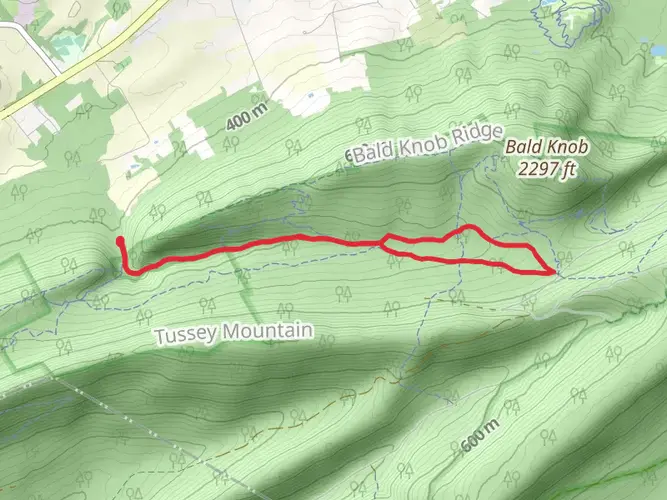
Challenges and Considerations The trail's terrain includes rocky sections and steep climbs, particularly as it ascends the Allegheny Plateau. The highest point of the trail offers panoramic views of the surrounding landscape, making the climb worthwhile. Water sources are abundant, but hikers should always treat water before drinking.
Seasonal Beauty Each season brings its own charm to the Allegheny Front Trail. Spring boasts blooming wildflowers and rushing streams, summer offers lush greenery, fall dazzles with vibrant foliage, and winter presents a serene, snow-covered landscape. However, hikers should be prepared for the challenges each season may present, such as biting insects in the summer or icy conditions in the winter.
Preparation and Safety Proper preparation is key to enjoying the Allegheny Front Trail. Hikers should pack layers of clothing, a first-aid kit, and enough food and water for the journey. It's also wise to inform someone of your itinerary and expected return time. Cell service can be spotty, so plan accordingly.
By taking the time to prepare and respect the natural beauty and historical significance of the Allegheny Front Trail, hikers can ensure a memorable and rewarding experience in the heart of Pennsylvania's wilderness.

What to expect?
Activity types
Comments and Reviews
User comments, reviews and discussions about the Allegheny Front Trail, Pennsylvania.
4.91
average rating out of 5
11 rating(s)