Download
3D Flyover
Add to list
More
75.8 km
~3 days
485 m
Multi-Day
“The Montour Trail: a historic, scenic hike through Pennsylvania's Allegheny County, perfect for cyclists and hikers alike.”
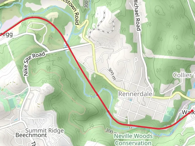
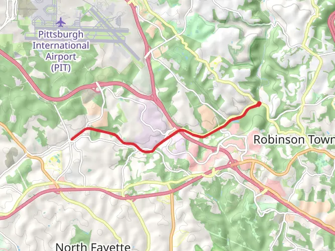
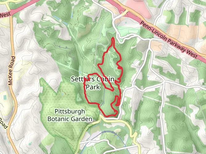
The Montour Trail stretches approximately 47 miles (around 76 kilometers) through the rolling hills of Allegheny County, Pennsylvania, offering a medium-difficulty hike with an elevation gain of roughly 1,300 feet (around 400 meters). This point-to-point trail is a repurposed railroad line that now serves as a multi-use recreational path, welcoming hikers, cyclists, and runners alike.
Getting to the Trailhead
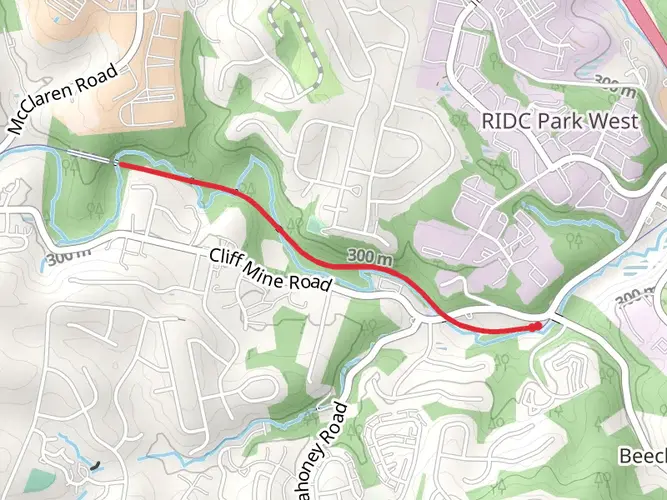
To begin your journey on the Montour Trail, you can find the trailhead near Coraopolis, close to the intersection of Montour Road and Cliff Mine Road, not far from the Pittsburgh International Airport. For those arriving by car, parking is available near the trailhead. If you're using public transportation, you can take a bus from downtown Pittsburgh towards the airport and then a short taxi or ride-share to the trailhead.
Navigating the Trail
As you embark on the Montour Trail, you can rely on the HiiKER app for detailed maps and navigation assistance. The trail is well-marked, with mileposts and directional signage to guide you along the way. The path is primarily crushed limestone, which provides a firm yet forgiving surface for your trek.
Landmarks and Historical Significance
The Montour Trail is rich in history, passing through small towns and bygone industrial sites that once thrived during the heyday of coal mining and manufacturing in the region. One of the highlights is the National Tunnel, located approximately 20 miles (32 kilometers) from the trailhead. This engineering marvel, over 600 feet (183 meters) long, is a testament to the trail's railroad heritage.
Further along, at around the 29-mile (47-kilometer) mark, you'll encounter the impressive McDonald Trestle. Spanning 960 feet (293 meters) and standing 75 feet (23 meters) high, it offers panoramic views of the valley below.
Nature and Wildlife
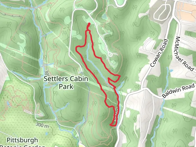
The Montour Trail is a haven for nature enthusiasts. As you traverse the path, you'll be surrounded by a diverse array of flora and fauna. The trail meanders through woodlands, wetlands, and open fields, providing opportunities to spot white-tailed deer, wild turkeys, and a variety of bird species. During the spring and summer months, wildflowers add splashes of color to the landscape.
Preparation and Planning
Before setting out, ensure you have adequate water and snacks, as there are limited services along certain sections of the trail. Seasonal weather conditions can affect the trail's terrain, so appropriate footwear and clothing are essential. Also, consider bringing a repair kit if you're cycling, as the nearest bike shop may be some distance away.
Remember, the Montour Trail is a shared space, so be courteous to other users. Keep to the right, pass on the left, and always signal your intentions to ensure a safe and enjoyable experience for everyone.

What to expect?
Activity types
Comments and Reviews
User comments, reviews and discussions about the Montour Trail, Pennsylvania.
4.74
average rating out of 5
19 rating(s)