The best hikes in Crook County
Oregon · 31 HiiKER Hikes
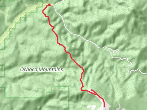
View Hikes on map

What to expect
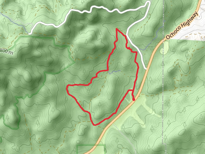
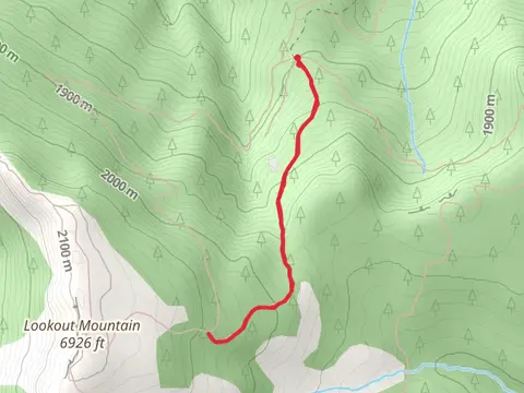
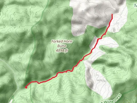
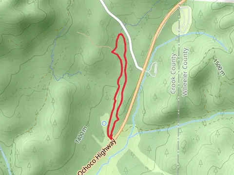
Check out some of the best hiking, walking and backpacking routes in Crook County, Oregon. The Walton Lake Trail is the most popular trail. There are trails of various difficulty levels including easy, medium, and difficult. The trail with the highest elevation climb is the Lookout Mountain via Independent Mine Trail and the trail with the least amount of climbing is the Ochoco Avenue Loop - North. The longest trail is the North Point and Lookout Mountain via Lookout Mountain Trail at 25.6 km. For a shorter adventure you can try the Sugar Creek Loop Trail at 892 m. Get off line access to Shelter, Water, Campsite, and Peak locations and much more with a Hiiker subscription.

Be prepared for hiking in Oregon with the HiiKER app