The best hikes in Columbia County
Oregon · 10 HiiKER Hikes
View Hikes on map

What to expect
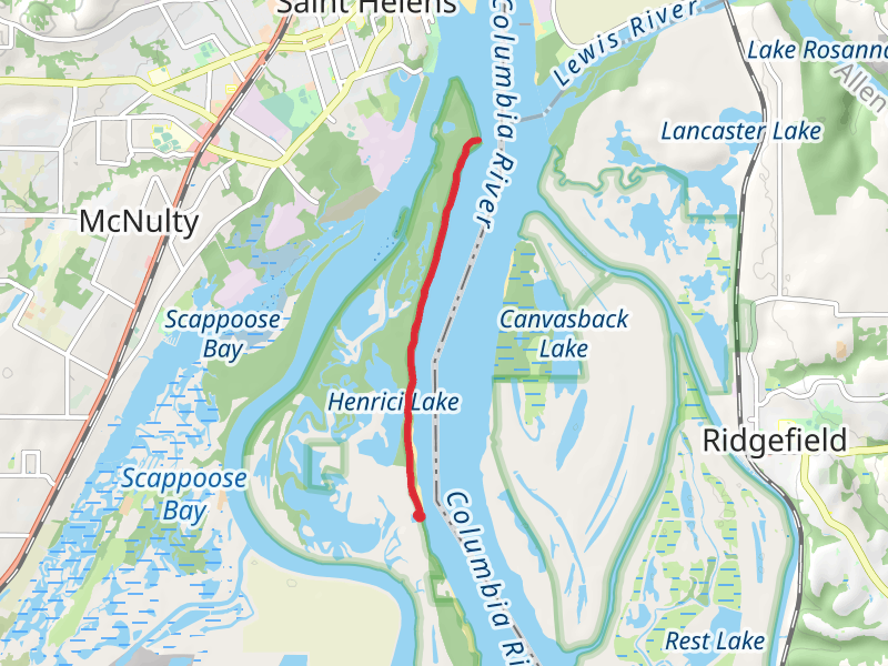
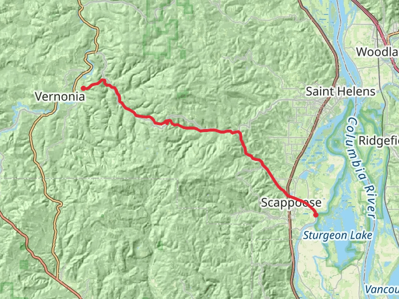
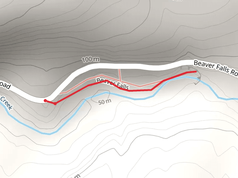
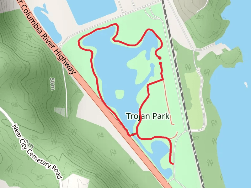
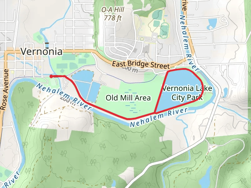
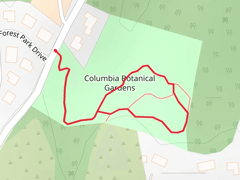
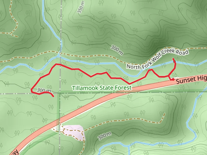
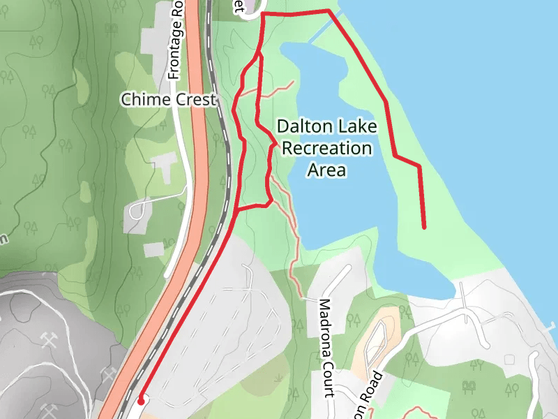
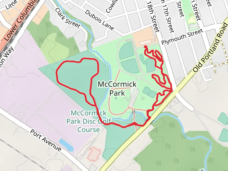
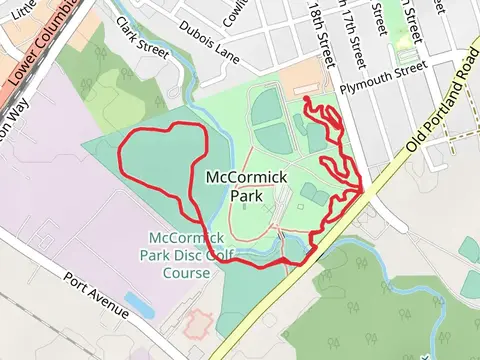
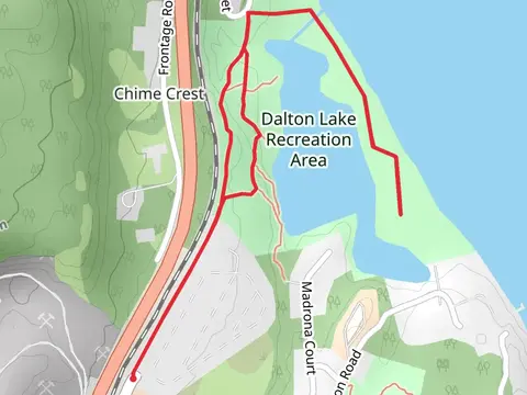
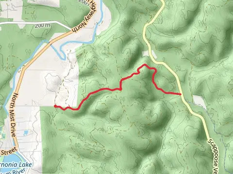
Check out some of the best hiking, walking and backpacking routes in Columbia County, Oregon. The Warrior Rock Lighthouse Trail is the most popular trail. There are trails of various difficulty levels including easy and medium. The trail with the highest elevation climb is the Crown Zellerbach Rail Trail and the trail with the least amount of climbing is the Trojan Park Loop. The longest trail is the Crown Zellerbach Rail Trail at 35.0 km. For a shorter adventure you can try the Columbia Botanical Gardens Loop at 697 m. Get off line access to Water, Shop, Restaurant, and Fastfood locations and much more with a Hiiker subscription.

Be prepared for hiking in Oregon with the HiiKER app