The best hikes in Clackamas County
Oregon · 266 HiiKER Hikes
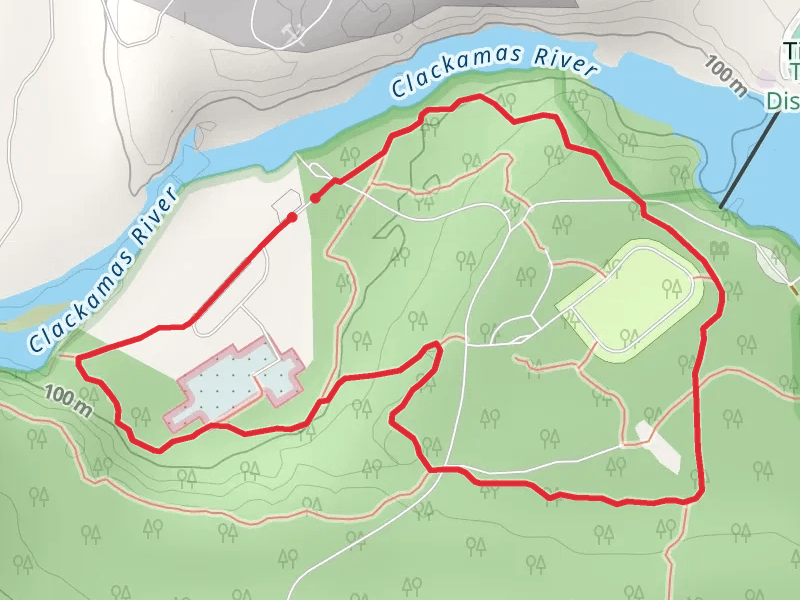
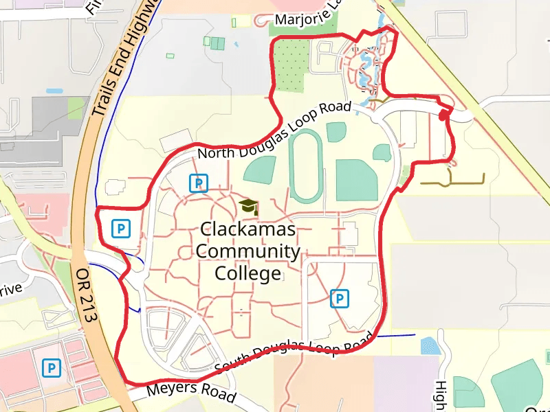
View Hikes on map

What to expect
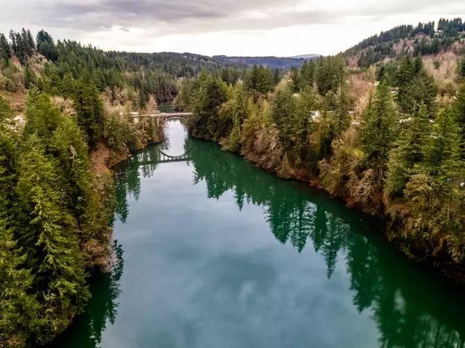
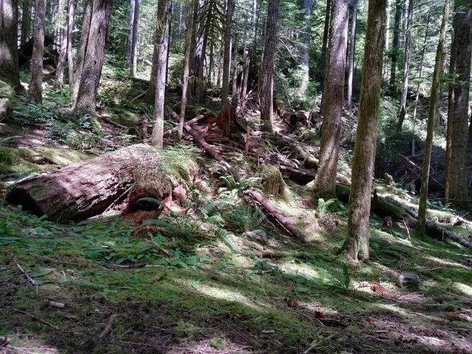
Check out some of the best hiking, walking and backpacking routes in Clackamas County, Oregon. The Timberline Trail Loop is the most popular trail. The trails have 2716 user reviews with great photos and information. There are trails of various difficulty levels including easy, medium, difficult, and extra difficult. The trail with the highest elevation climb is the Rockefeller Loop Trail and the trail with the least amount of climbing is the Clackamette Park Loop and Willamette River Greenway. The longest trail is the Rockefeller Loop Trail at 1810.1 km. For a shorter adventure you can try the Nature Loop Trail at 376 m. Get off line access to Shop, Peak, Fastfood, and Restaurant locations and much more with a Hiiker subscription.

Be prepared for hiking in Oregon with the HiiKER app