The best hikes in Benton County
Oregon · 114 HiiKER Hikes
View Hikes on map
What to expect
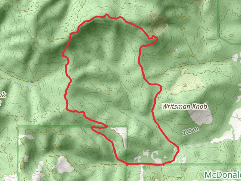
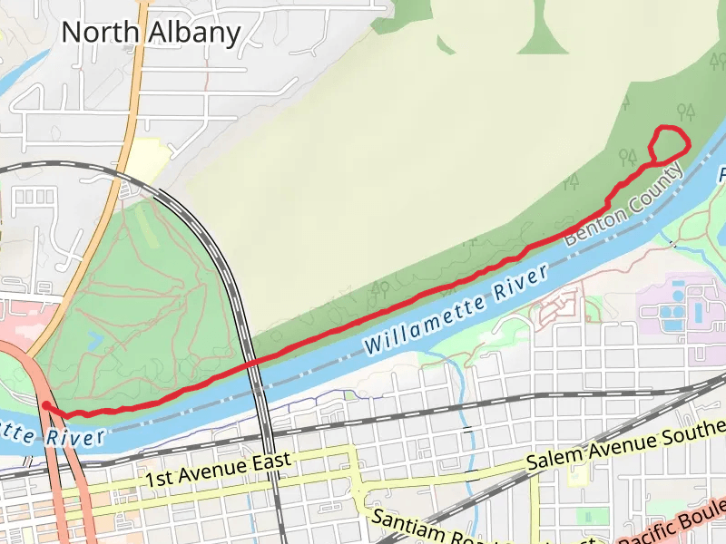
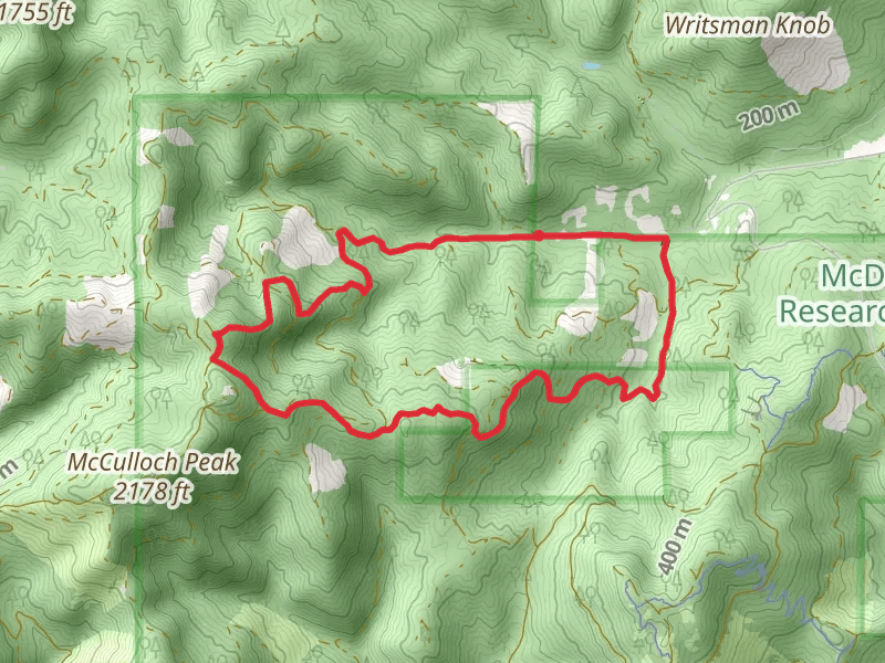
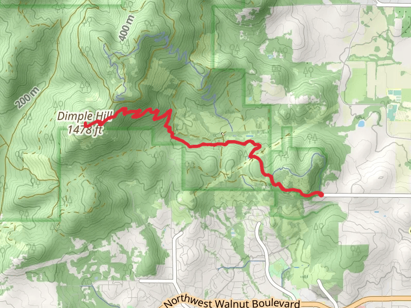
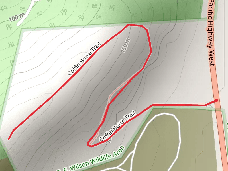
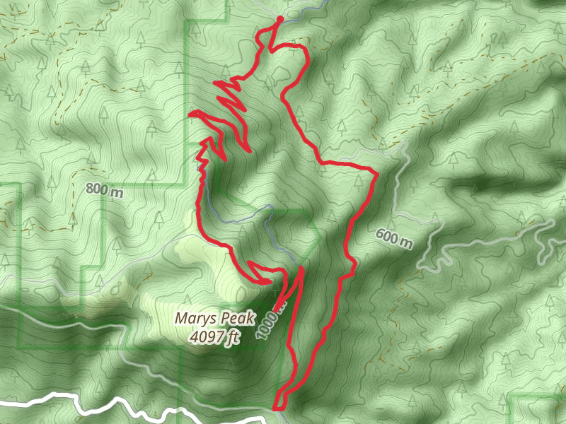
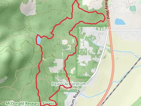
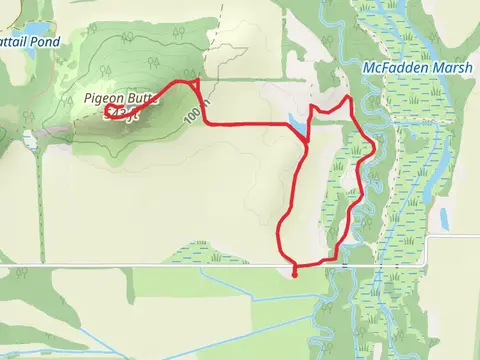
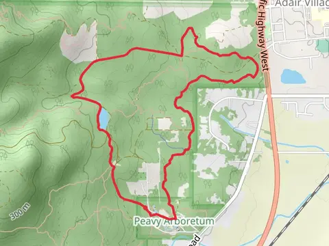
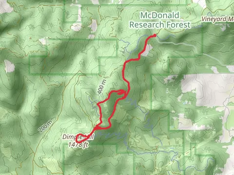
Check out some of the best hiking, walking and backpacking routes in Benton County, Oregon. The Belden Creek Road and Trail of Woe Loop is the most popular trail. The trails have 1633 user reviews with great photos and information. There are trails of various difficulty levels including easy, medium, difficult, and extra difficult. The trail with the highest elevation climb is the Marys Peak, Tie amd East Ridge Loop Trail and the trail with the least amount of climbing is the Takena Landing Trail. The longest trail is the Northwest Jackson Creek Drive to Northwest Circle Boulevard at 22.5 km. For a shorter adventure you can try the Forest Dell Loop Trail at 570 m. Get off line access to Shop, Fastfood, Shelter, and Restaurant locations and much more with a Hiiker subscription.

Be prepared for hiking in Oregon with the HiiKER app