The best hikes in Summit County
Ohio · 183 HiiKER Hikes
View Hikes on map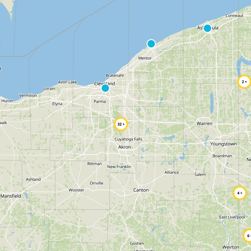
What to expect
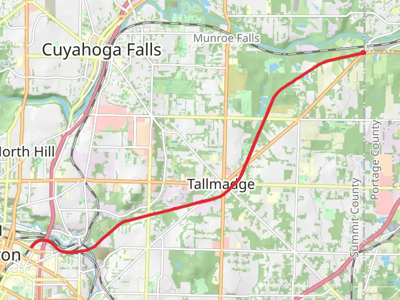
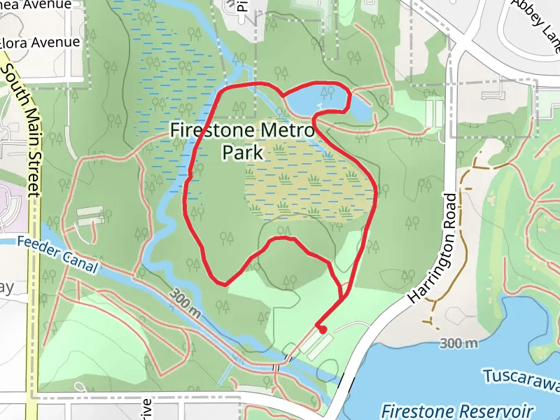
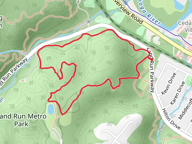
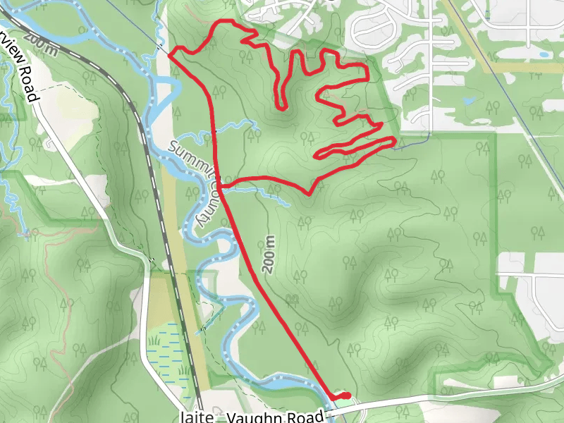
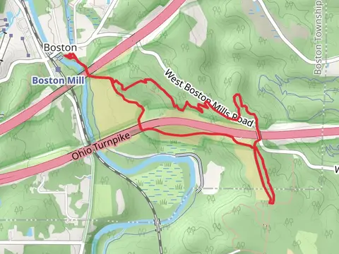
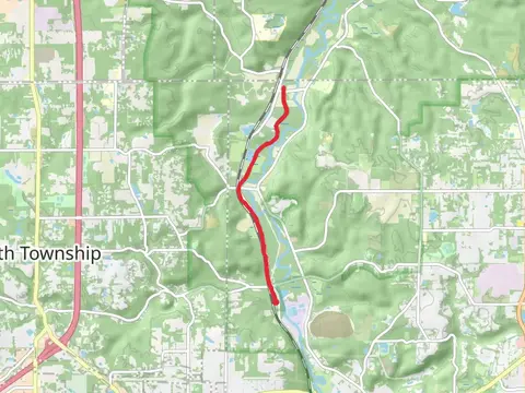
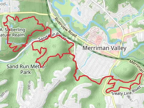
Check out some of the best hiking, walking and backpacking routes in Summit County, Ohio. The Wetmore Bridle Trail is the most popular trail. The trails have 4154 user reviews with great photos and information. There are trails of various difficulty levels including easy, medium, and difficult. The trail with the highest elevation climb is the Blue Trail Loop from Newton Road and the trail with the least amount of climbing is the Ohio and Erie Canal Towpath Trail along Cuyahoga River. The longest trail is the Freedom Trail at 24.6 km. For a shorter adventure you can try the Butterfly Loop Trail at 496 m. Get off line access to Restaurant, Healthcare, Fastfood, and Shelter locations and much more with a Hiiker subscription.

Be prepared for hiking in Ohio with the HiiKER app