The best hikes in Scioto County
Ohio · 21 HiiKER Hikes
View Hikes on map


What to expect
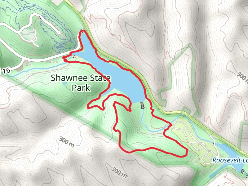
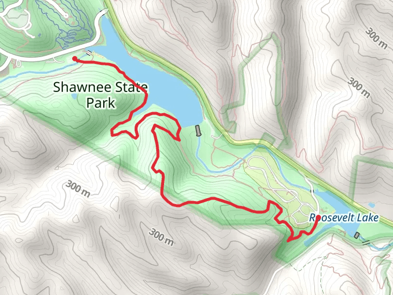
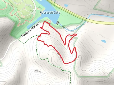
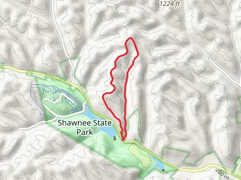
Check out some of the best hiking, walking and backpacking routes in Scioto County, Ohio. The Shawnee Backpack Trail is the most popular trail. The trails have 395 user reviews with great photos and information. There are trails of various difficulty levels including medium and difficult. The trail with the highest elevation climb is the Silver Arrowand Hobey Hollow Loop Trail and the trail with the least amount of climbing is the Wolcott Loop Trail. The longest trail is the Shawnee Backpack Trail at 57.8 km. For a shorter adventure you can try the Lampblack Hiking Loop Trail at 1.8 km. Get off line access to History, Peak, Water, and Shelter locations and much more with a Hiiker subscription.

Be prepared for hiking in Ohio with the HiiKER app