Download
3D Flyover
Add to list
More
134.3 km
~5 days
291 m
Multi-Day
“Embark on the Ohio Erie Canal Towpath Trail for a historic and nature-rich hiking adventure.”
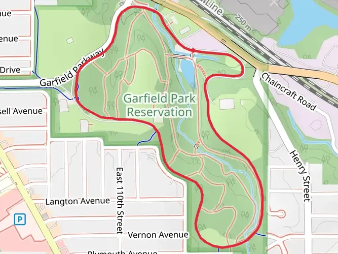
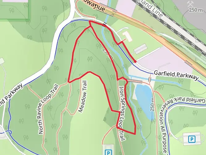
The Ohio Erie Canal Towpath Trail is a scenic journey through the heart of Ohio's natural landscapes and historical past. Stretching approximately 134 kilometers (83 miles), with a minimal elevation gain of around 200 meters (656 feet), this trail offers a relatively flat and accessible route for hikers of varying abilities. The trailhead is located near Cuyahoga County, Ohio, and the trail itself is a point-to-point type, which means you'll start and finish at different locations, offering a diverse experience throughout the hike.
Getting to the Trailhead
To reach the starting point of the Ohio Erie Canal Towpath Trail, you can drive to the vicinity of Cuyahoga County, where parking is available. For those preferring public transportation, local bus services can be used to get closer to the trailhead. Once you're in the general area, you can use the HiiKER app to navigate to the exact starting location, ensuring you begin your hike without any confusion.
Navigating the Trail
As you embark on the Towpath Trail, you'll be following the historic route of the Ohio and Erie Canal, which played a crucial role in the economic development of the region during the 19th century. The trail is well-maintained and marked, making it easy to follow without the need for advanced navigation skills. However, having the HiiKER app on hand will provide you with real-time location tracking and detailed maps, which can enhance your hiking experience.
Historical Significance and Landmarks
The trail's historical significance is one of its most compelling features. As you hike, you'll encounter numerous landmarks that tell the story of the canal's impact, including old lock structures, restored historical buildings, and interpretive signs that provide context to what you're seeing. Notable points of interest include the Canal Exploration Center, where you can delve deeper into the canal's history, and the picturesque village of Peninsula, which offers a glimpse into 19th-century life.
Nature and Wildlife
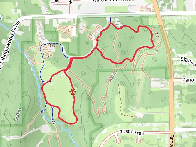
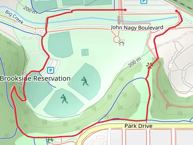
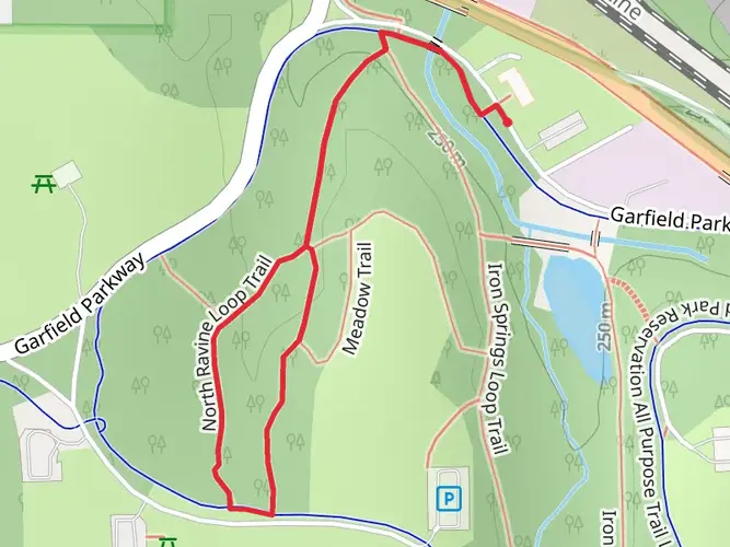
The natural beauty along the Towpath Trail is abundant. You'll pass through a variety of landscapes, including lush wetlands, dense forests, and open meadows. The Cuyahoga Valley National Park section is particularly rich in biodiversity, where you might spot white-tailed deer, beavers, and a wide array of bird species. The changing seasons bring different highlights, from vibrant wildflowers in the spring to a kaleidoscope of foliage in the fall.
Trail Experience
The trail's flat terrain makes it a medium difficulty hike, primarily due to its length rather than the physical challenge. It's suitable for both day hikes and longer multi-day treks, with campgrounds and lodging available along the route for those who wish to take their time. Cyclists also frequent the trail, as its smooth surface is ideal for biking.
Preparation and Planning
Before setting out, ensure you have adequate water and food, as the distances between amenities can vary. Weather in Ohio can be unpredictable, so dress in layers and be prepared for rain or shine. If you're planning to hike the entire trail, consider arranging transportation back to your starting point, as the point-to-point nature of the trail means you'll end up a significant distance from where you began.
By taking the time to prepare and plan your hike on the Ohio Erie Canal Towpath Trail, you'll be set for an enriching experience that combines the beauty of Ohio's natural landscapes with the fascinating history of the Erie Canal.

What to expect?
Activity types
Comments and Reviews
User comments, reviews and discussions about the Ohio Erie Canal Towpath Trail, Ohio.
4.5
average rating out of 5
8 rating(s)