Download
3D Flyover
Add to list
More
216.8 km
~9 days
3787 m
Multi-Day
“Embrace the Larapinta Trail's majestic landscapes and cultural richness on a transformative Australian outback trek.”
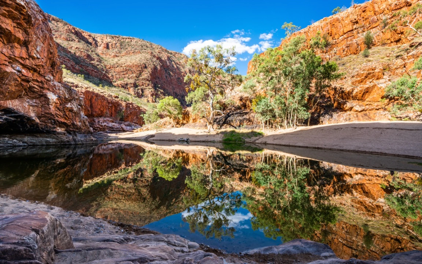
The Larapinta Trail is a world-renowned trek that takes you through the heart of Australia's Red Centre, showcasing the rugged beauty of the West MacDonnell Ranges. Spanning approximately 217 kilometers (about 135 miles) and with an elevation gain of around 3700 meters (about 12,139 feet), this trail offers a challenging yet rewarding experience for avid hikers.
Getting to the Trailhead
The journey begins near the town of Alice Springs, Northern Territory, which is accessible by car or public transport. If you're driving, you can reach the trailhead at the Alice Springs Telegraph Station, which is a short drive from the town center. For those relying on public transportation, options include shuttle services that can drop you off at the starting point.
Navigating the Trail
As you embark on this point-to-point trail, it's essential to have a reliable navigation tool. HiiKER is an excellent resource for planning your hike, offering detailed maps and trail information that will be invaluable on your journey.
Trail Highlights and Landmarks
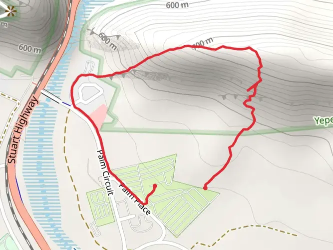
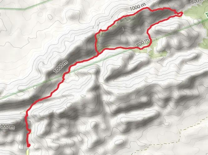
The Larapinta Trail is divided into 12 sections, each with its own unique landscapes and challenges. Early in the trek, you'll encounter the Euro Ridge with panoramic views of the surrounding desert. As you progress, you'll reach landmarks such as Simpsons Gap, a significant site in the local Arrernte Aboriginal culture, and Standley Chasm, a narrow alley sliced through the tough quartzite by natural forces.
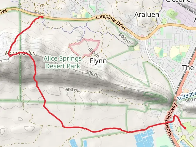
One of the most iconic sections is the ascent of Mount Sonder, which marks the trail's end. This climb is often undertaken in the early hours of the morning to witness a breathtaking sunrise from the summit.
Flora and Fauna
The trail traverses a variety of ecosystems, from dry riverbeds to dense mulga bushland. You'll see a range of native plants, including the iconic spinifex grass and desert oaks. Wildlife is abundant, with the possibility of spotting rock wallabies, perentie lizards, and a diverse array of birdlife.
Historical Significance
The Larapinta Trail holds deep historical significance, passing through the traditional lands of the Western Arrernte people. Along the way, you'll find ancient rock art and sacred sites, providing a glimpse into the area's rich Aboriginal heritage.
Preparation and Planning
Given the trail's remote nature and the extreme weather conditions that can occur in the desert, thorough preparation is crucial. Water sources are scarce, so planning your resupply points is essential. The trail is well-marked, but carrying sufficient food, a first-aid kit, and emergency communication devices is recommended.
Weather and Best Time to Hike
The best time to hike the Larapinta Trail is during the cooler months from April to September. Temperatures during this period are more manageable, and the risk of heat-related illnesses is lower.
Accommodation and Camping
There are designated campgrounds along the trail, some equipped with facilities such as toilets and water tanks. It's advisable to book these in advance during peak season. For those seeking more comfort, there are also eco-friendly lodges and organized tours that offer a more luxurious experience.
Conclusion
The Larapinta Trail is a must-do for serious hikers, offering an immersive experience in the Australian outback. With its diverse landscapes, rich cultural history, and challenging terrain, it's a journey that will leave a lasting impression on all who undertake it.

What to expect?
Activity types
Comments and Reviews
User comments, reviews and discussions about the Larapinta Trail, Northern Territory.
4.75
average rating out of 5
12 rating(s)