

Best scenic views hikes in County Down
Ready for some outdoor fun? These hikes offer everything you could want for an unforgettable adventure!
Here are some great hikes to explore in County Down.
Most popular hikes
Reviews for scenic views hikes in County Down

Bob the juggler · reviewed almost 3 years ago
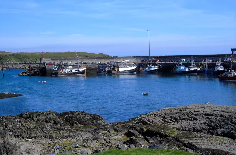
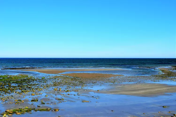
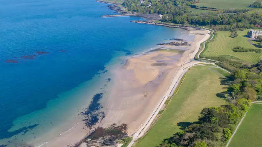
This is the closest trail to my house in Crossgar near Downpatrick so did it over a few weekends in 2020. Some sections were very overgrown, particularly at Raholp before Strangford. But as the walk goes on you are treated to some stunning coastal scenery. After Strangford the route sends you down Black Causeway Road but I would recommend sticking to the coastal road instead - either way you’ll be walking on roads but by sticking to the coast at least you’ll have better views and might even see some seals at the viewpoint near seal cabin. Path was fairly overgrown between Ballyhornan and Ardglass as well but still passable. I will try and walk some of these overgrown sections again to see if any improvements have been made. I recorded the trail for my you tube channel if you are interested in seeing it in more detail. https://youtube.com/playlist?list=PLXyVA1GPc5-BfQeUn_qEqkHrUYHApxXtl

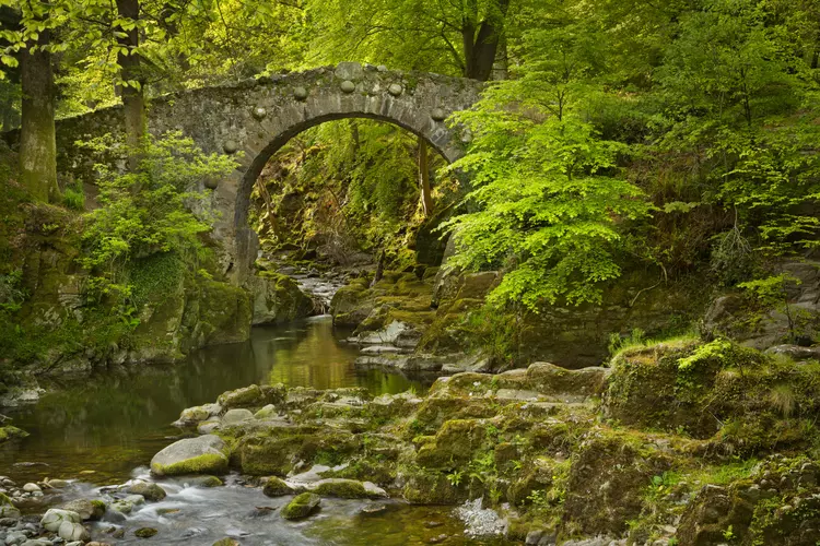
Tollymore Forest Park – Mountain and Drinns Trail
Maura Flood · reviewed over 1 year ago
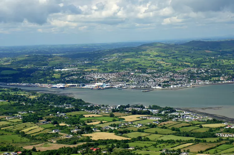
Gorgeous walk in forest, by the river and a lake. Fabulous views of the Mournes, Newcastle, the sea and surrounding villages.
Paul McArthur · reviewed about 4 years ago
Surprisingly enjoyable trail through varied terrain. Beach, country roads, green lanes and forest estates….. all with the back drop of the Mourne Mountains. You could complete it in one long day, but definitely the best way to savour the journey is over two days. Either wild camp or B&B…. the choice is yours.

Holger S. · reviewed about 4 years ago
Great views, but most of it is on tarmac, so it's rather hard on your joints. Unfortunately there are currently two problems with the route: 1. Around km 28/mile 17.5 there is no path. I had to follow a sort of game trail, climb over a barbed wire fence, trod over a field with cattle on it and finally crawl through a hedge to get to the lower path. No sign of the two stiles mentioned in the description I found on the official website. 2. Kms 34-36/miles 21-22 lead along a very busy street which in a news article I found described as dangerous for pedestrians, so I left that bit out. In some areas the markings are very good, in other they aren't. The route description on the official website helps. My recommendation is to do the whole thing on an all-terrain bike. The most challenging bits would be just before Fathom Mountain and the downhill part in Ravensdale Forest. If you decide to walk, I highly recommend the alternative route over the peak of Slieve Gullion (this is not feasible by bike). After rainfall you might need good boots, for the descent on the north side is quite boggy. In any case, whether on foot or by bike, with or without the peak, you need some stamina as there are some steep roads to climb.

Frequently asked questions for hikes in County Down


More hikes in County Down
by difficulty
by type
by activity