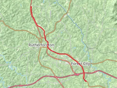
The best hikes in Rutherford County
North Carolina · 21 HiiKER Hikes
View Hikes on map

What to expect
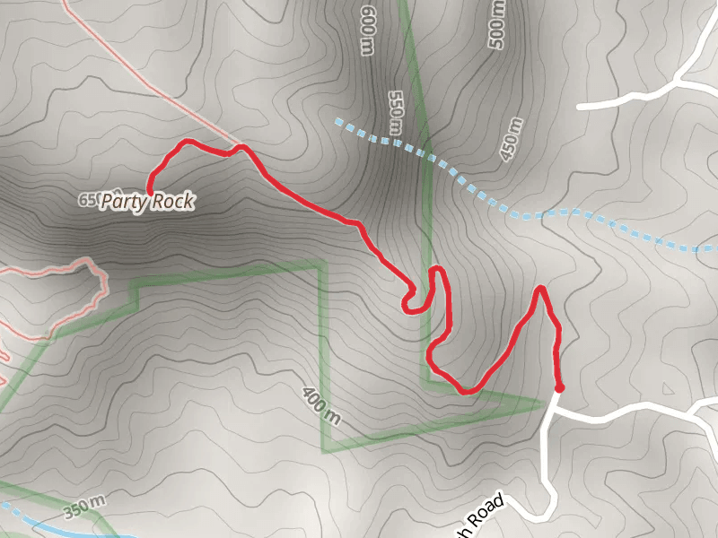
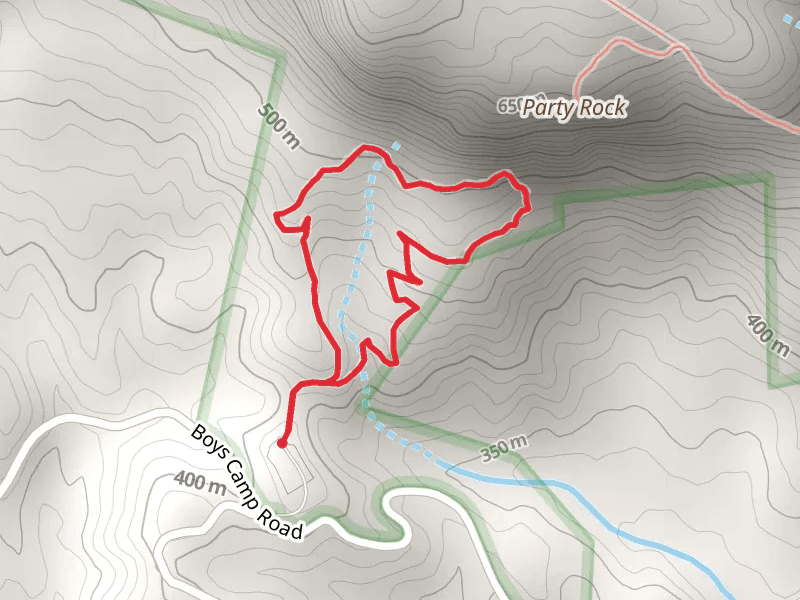
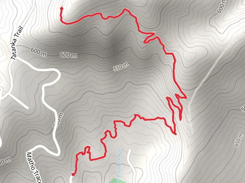
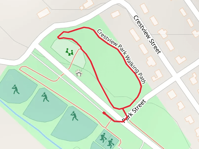
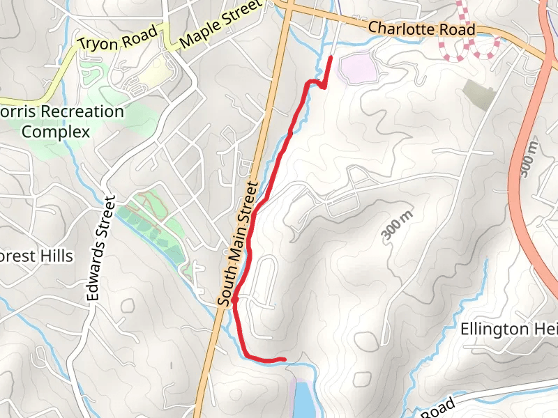
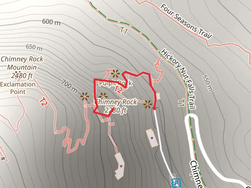
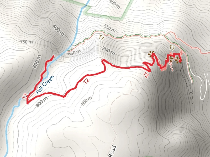
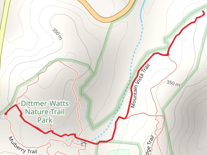
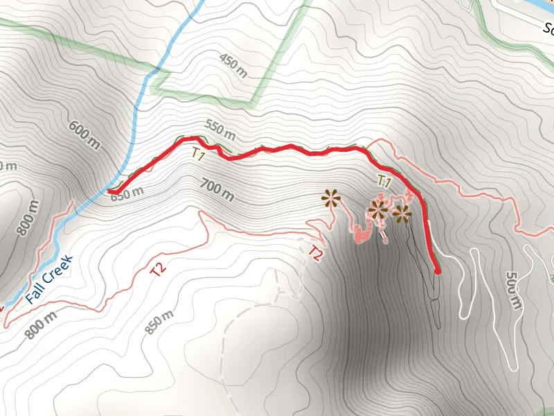
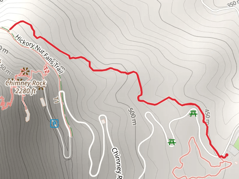
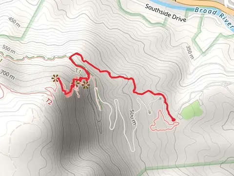
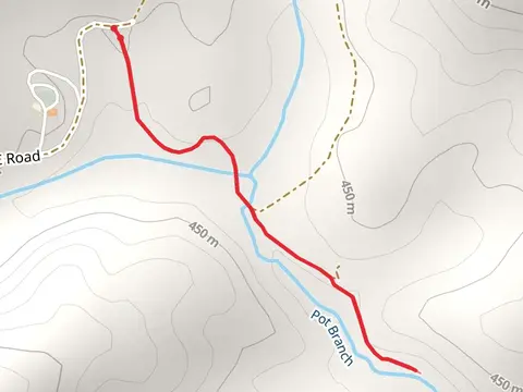
Check out some of the best hiking, walking and backpacking routes in Rutherford County, North Carolina. The Crestview Park Walking Path Loop is the most popular trail. There are trails of various difficulty levels including easy and medium. The trail with the highest elevation climb is the Eagle Rock via Weed Patch Mountain Trail and the trail with the least amount of climbing is the Crestview Park Walking Path Loop. The longest trail is the Eagle Rock via Weed Patch Mountain Trail at 25.0 km. For a shorter adventure you can try the Chimney Rock at 532 m. Get off line access to Town, Shelter, Peak, and Restaurant locations and much more with a Hiiker subscription.

Be prepared for hiking in North Carolina with the HiiKER app