The best hikes in Clay County
North Carolina · 31 HiiKER Hikes
View Hikes on map
What to expect
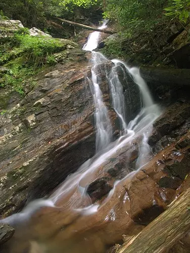
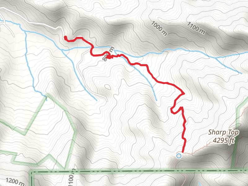
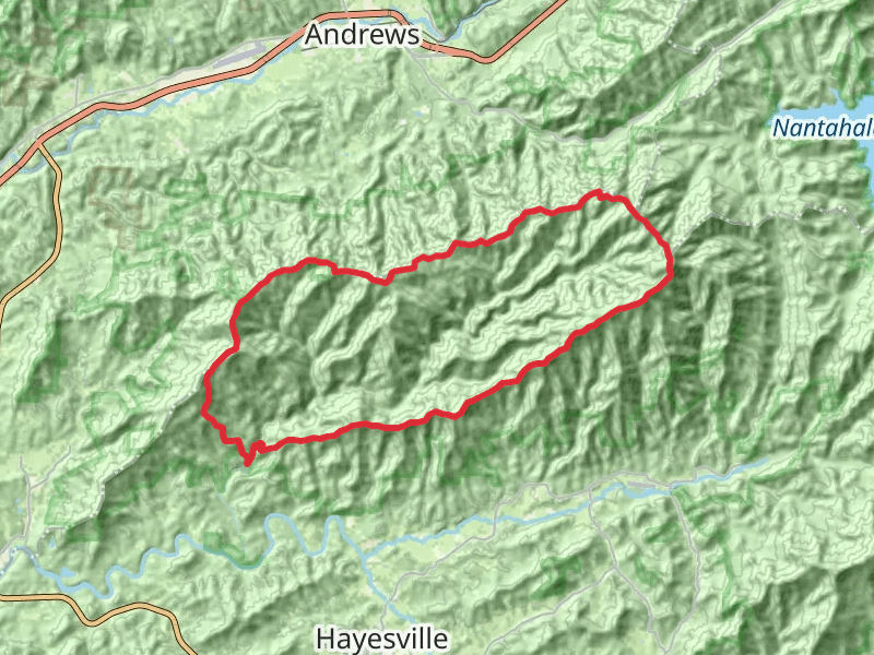
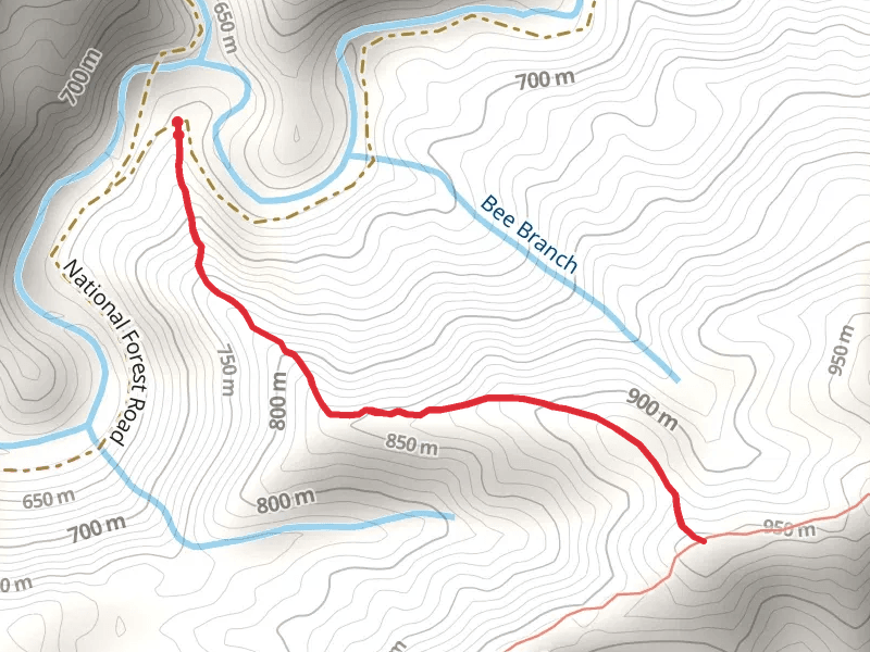
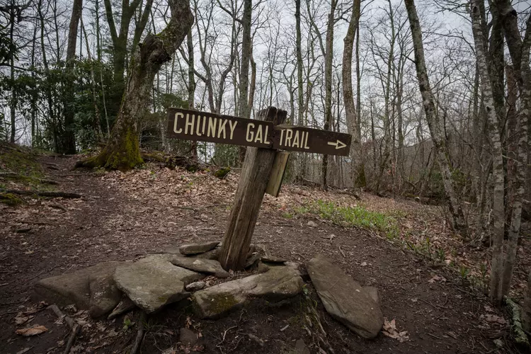
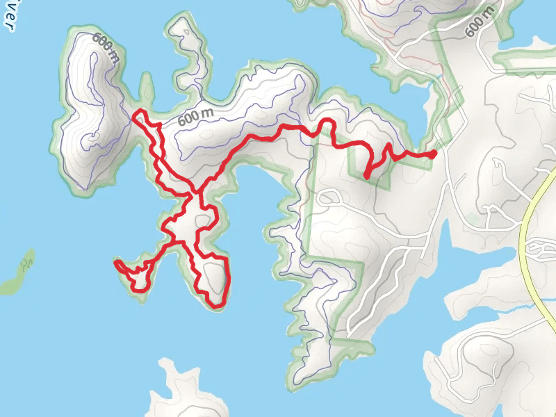
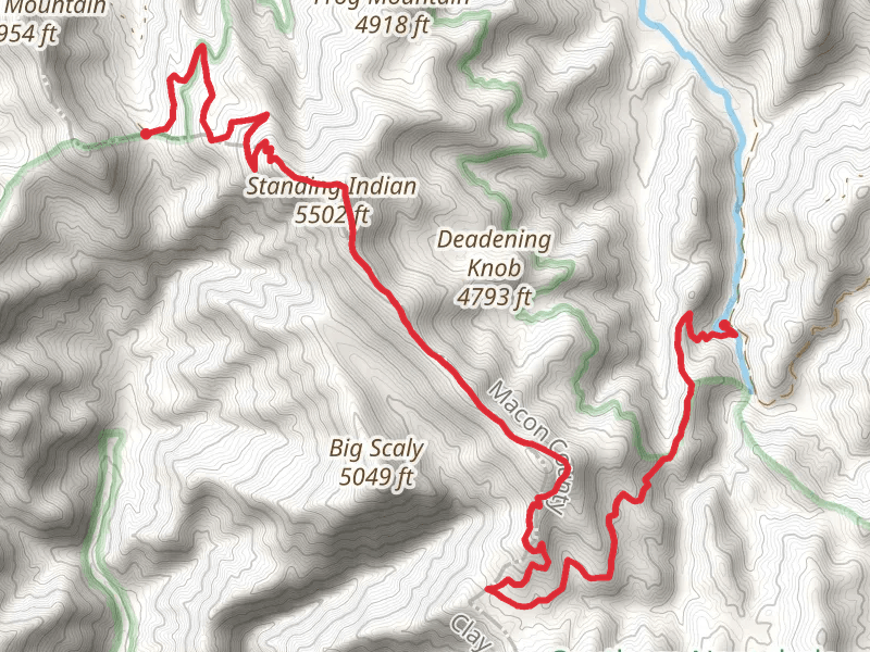
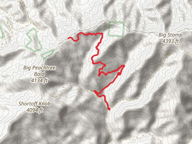
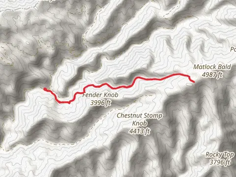
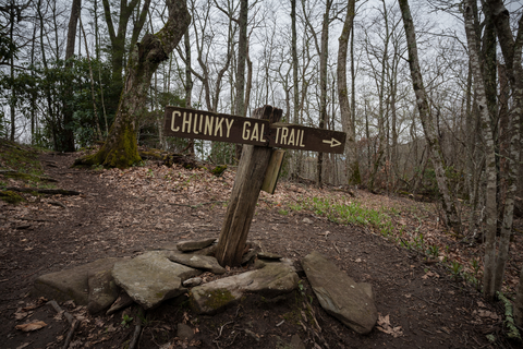
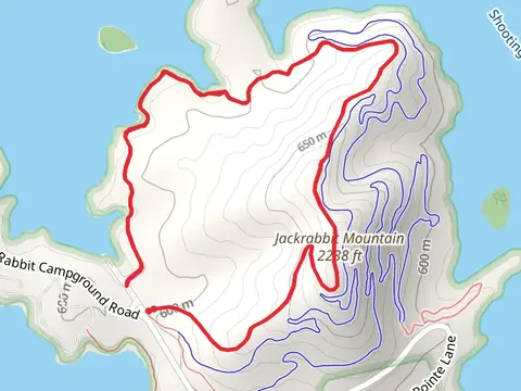
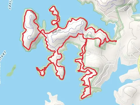
Check out some of the best hiking, walking and backpacking routes in Clay County, North Carolina. The Chunky Gal Trail is the most popular trail. The trail with the highest elevation climb is the Standing Indian via Appalachianand Indian Ridge Trail and the trail with the least amount of climbing is the Burnt Tree Peninsulavia Central Loop Trail. The longest trail is the Chunky Gal Trail at 41.1 km. For a shorter adventure you can try the Leatherwood Loop Trail at 1.1 km. Get off line access to Campsite, Shelter, Water, and Peak locations and much more with a Hiiker subscription.

Be prepared for hiking in North Carolina with the HiiKER app