Download
3D Flyover
Add to list
More
Trail length
11.0 km
Time
~3 hrs 3 min
Elevation Gain
508 m
Hike Type
Loop
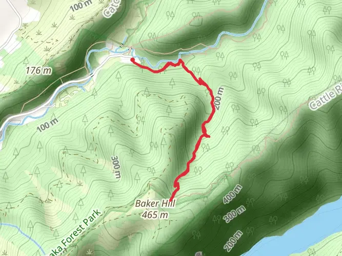
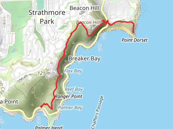
The Butterfly Creek Track is a 11.0 km looped trail that starts and ends in Eastbourne, Lower Hutt City, New Zealand. Based on our data, the hike is graded as Difficult. For information on how we grade trails, please read measuring the difficulty of a hiking trail on hiiker. Also, check our latest community posts for trail updates. This hike can be completed in approx 3 hrs 3 mins. Caution is advised on trail times as this depends on multiple variables. For more info read about how we calculate hike time.

What to expect?
dog-friendly
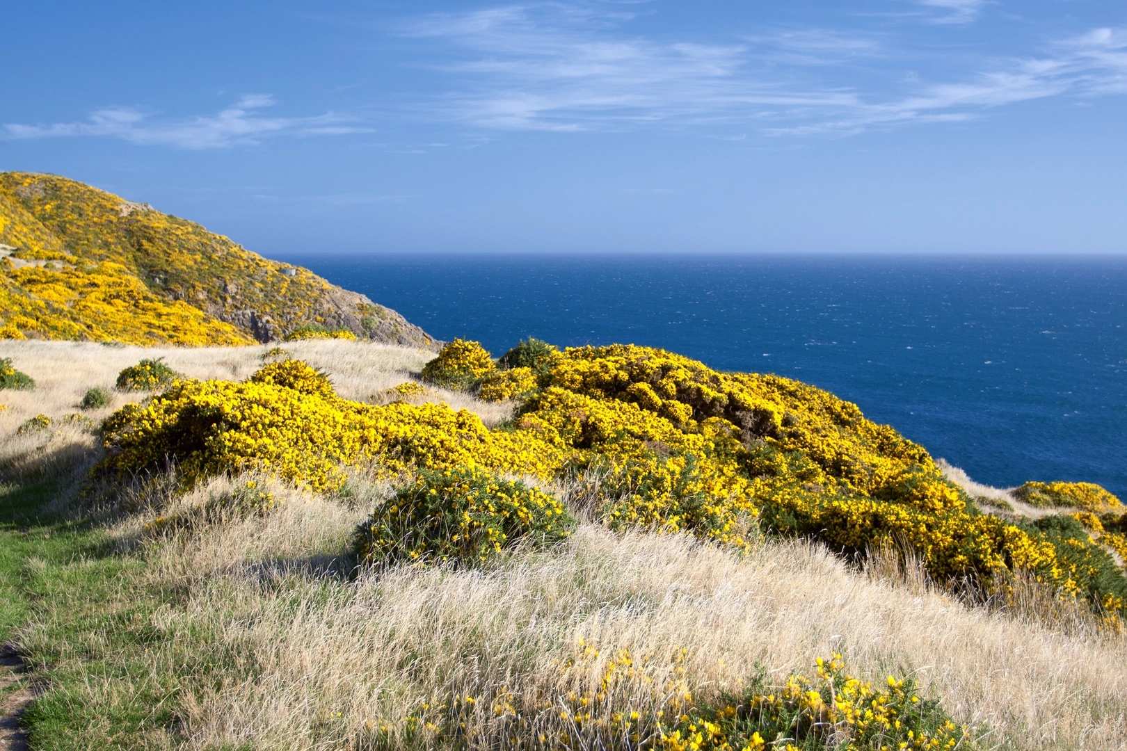
coastal
wildlife
mountain-views
Activity types
nature-trips
wildlife-viewing
Comments and Reviews
User comments, reviews and discussions about the Butterfly Creek Track, New Zealand.
5.0
average rating out of 5
1 rating(s)