The best hikes in Schoharie County
New York · 19 HiiKER Hikes
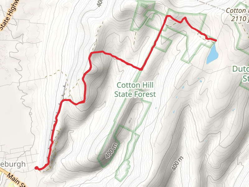
View Hikes on map
What to expect
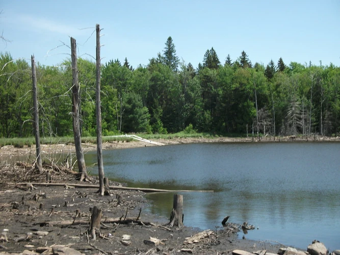
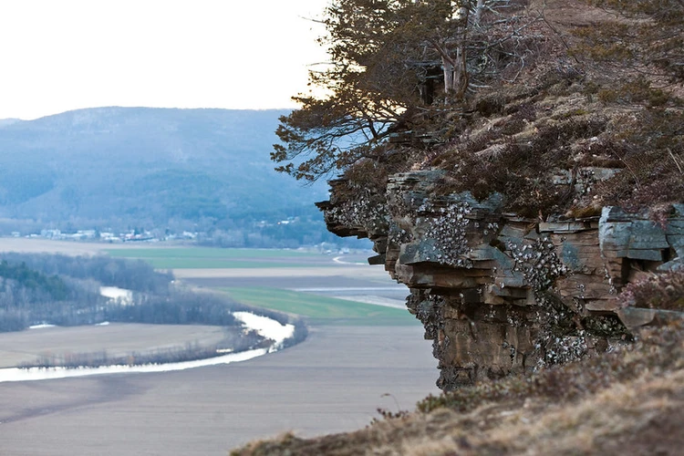
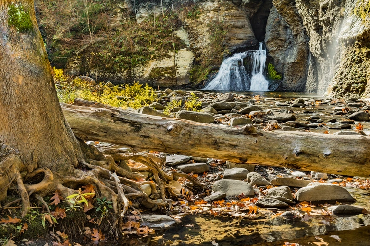
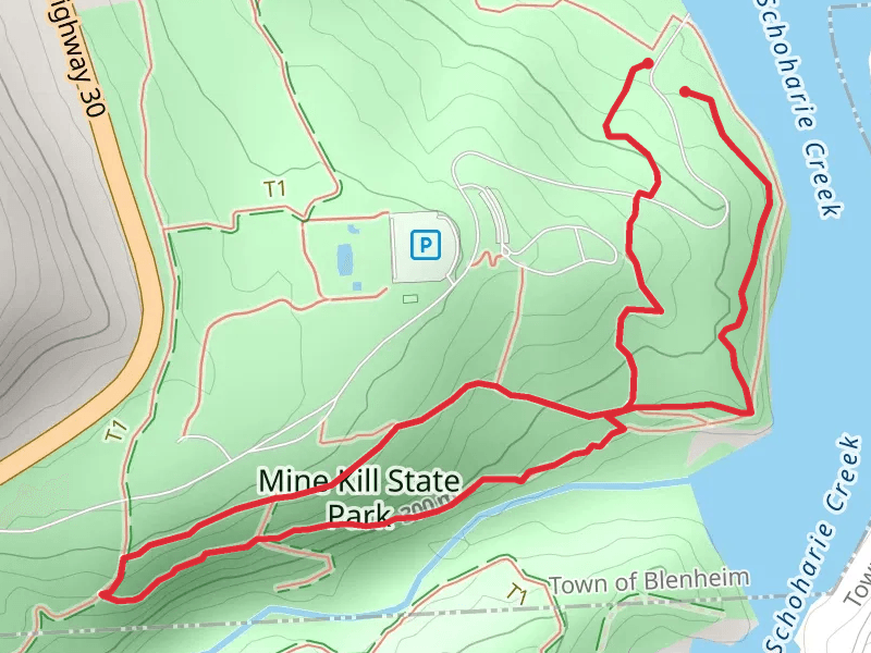
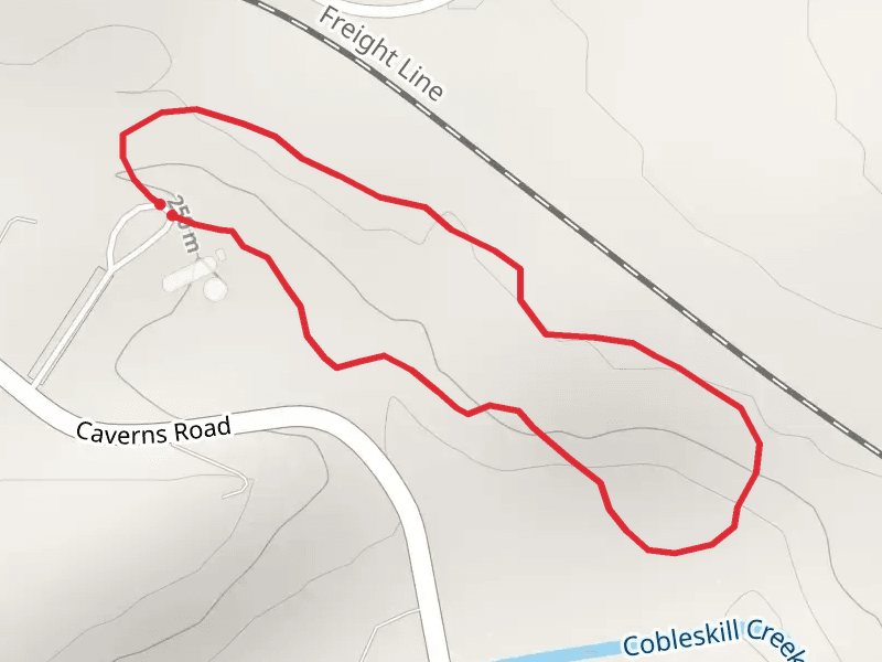
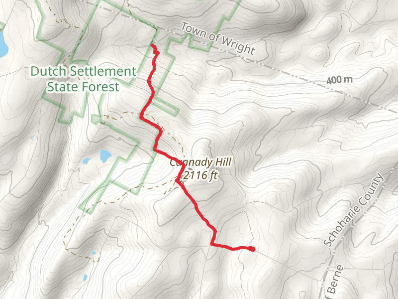
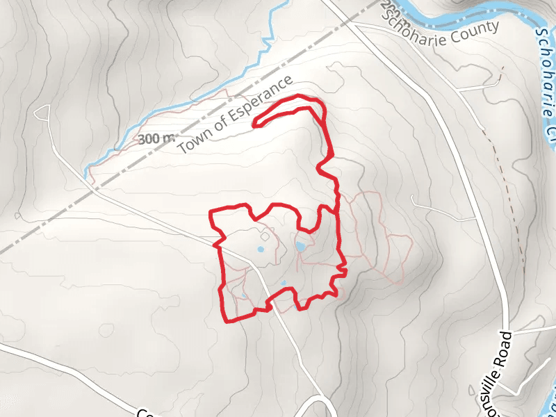
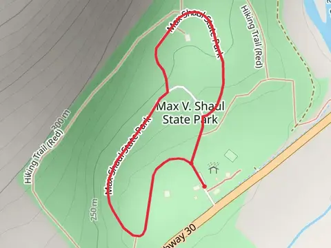
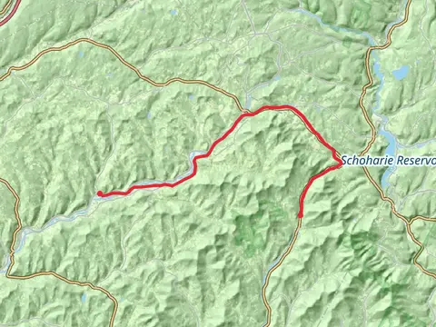
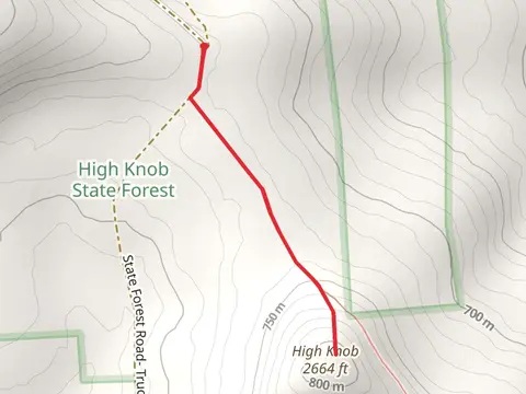
Check out some of the best hiking, walking and backpacking routes in Schoharie County, New York. The Cobleskill Creek Trail is the most popular trail. The trails have 169 user reviews with great photos and information. There are trails of various difficulty levels including easy, medium, difficult, and extra difficult. The trail with the highest elevation climb is the High Knob from State Forest Road and the trail with the least amount of climbing is the Max Shaul State Park Loop. The longest trail is the Catskill Scenic Trail at 40.8 km. For a shorter adventure you can try the Max Shaul State Park Loop at 1.3 km. Get off line access to Town, Water, Viewpoint, and Peak locations and much more with a Hiiker subscription.

Be prepared for hiking in New York with the HiiKER app