The best hikes in Saint Lawrence County
New York · 36 HiiKER Hikes
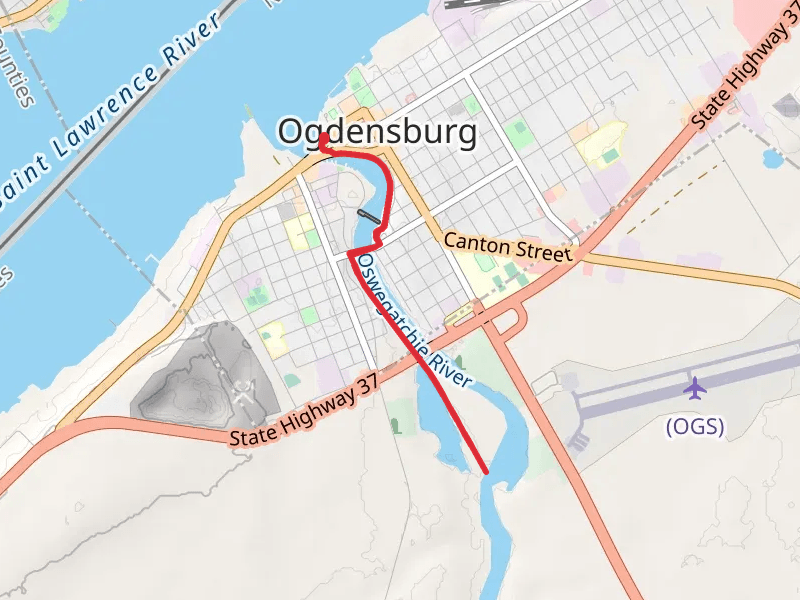
View Hikes on map
What to expect
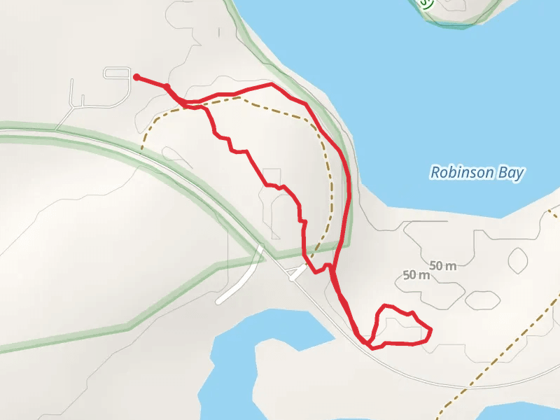
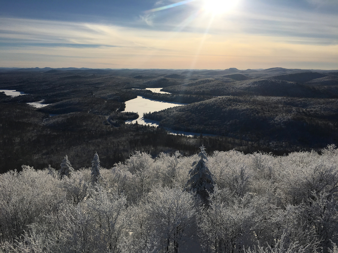
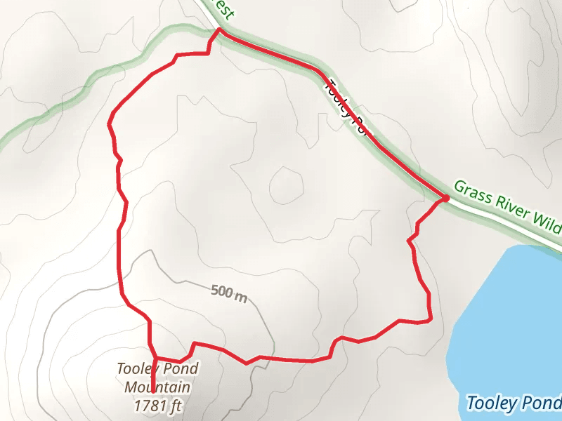
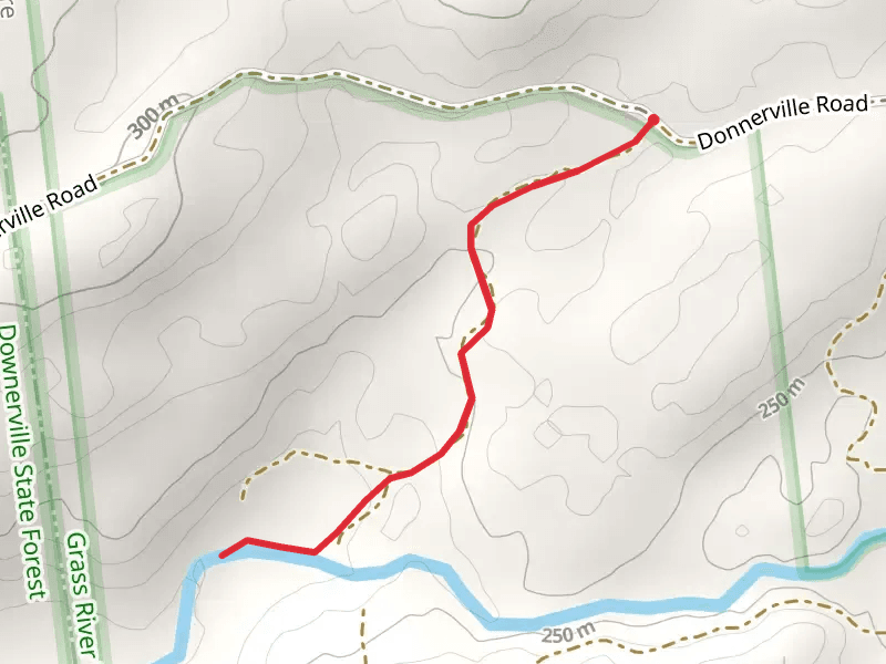
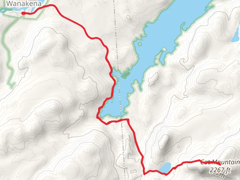
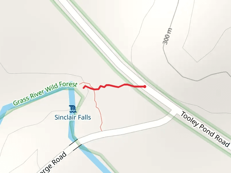
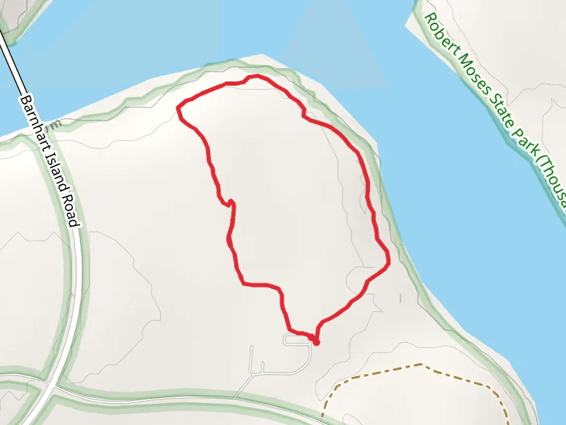
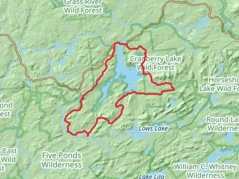
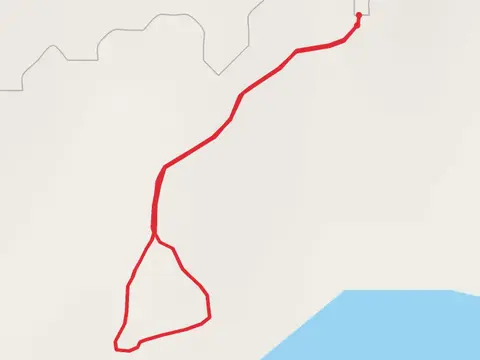
Check out some of the best hiking, walking and backpacking routes in Saint Lawrence County, New York. The Whalen Park Trail is the most popular trail. The trails have 367 user reviews with great photos and information. There are trails of various difficulty levels including easy, medium, and difficult. The trail with the highest elevation climb is the Mount Arab Trail and the trail with the least amount of climbing is the Robinson Bay Road Loop. The longest trail is the Cranberry Lake 50 Loop Trail at 80.2 km. For a shorter adventure you can try the Tooley Pond Road Trail at 196 m. Get off line access to Shelter, Water, Campsite, and Peak locations and much more with a Hiiker subscription.

Be prepared for hiking in New York with the HiiKER app