The best hikes in Wollongong City
New South Wales · 4 HiiKER Hikes
View Hikes on map


What to expect
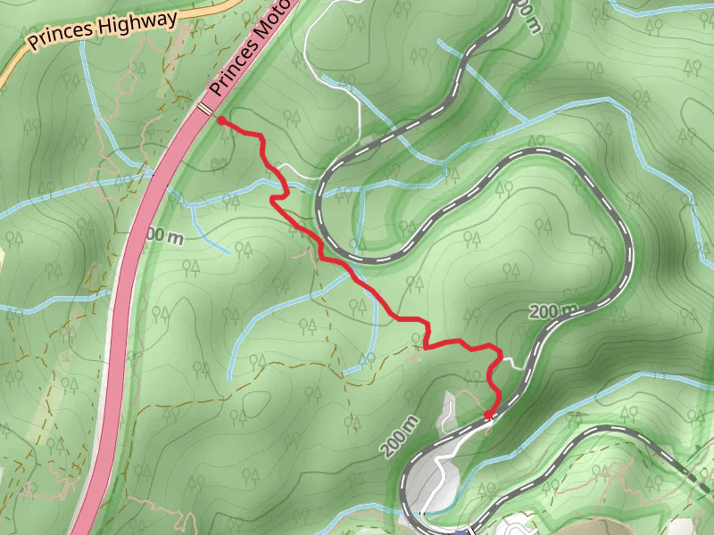
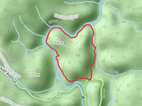
Check out some of the best hiking, walking and backpacking routes in Wollongong City, New South Wales. The Curra Moors Loop Track is the most popular trail. The trail with the highest elevation climb is the Mount Keira Ring Track and the trail with the least amount of climbing is the Forest Path. The longest trail is the Curra Moors Loop Track at 9.3 km. For a shorter adventure you can try the Cawleys Road Trail at 2.4 km. Get off line access to Healthcare, Viewpoint, History, and Peak locations and much more with a Hiiker subscription.

Be prepared for hiking in New South Wales with the HiiKER app