The best hikes in Carroll County
New Hampshire · 368 HiiKER Hikes
View Hikes on map
What to expect
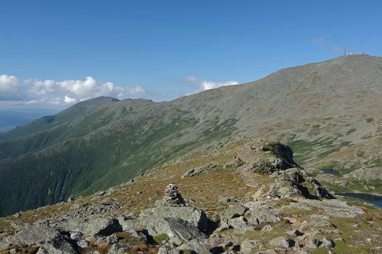
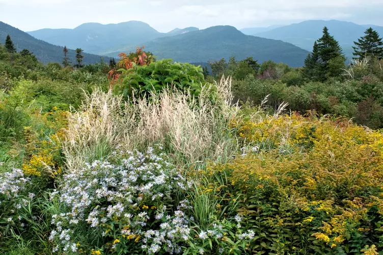
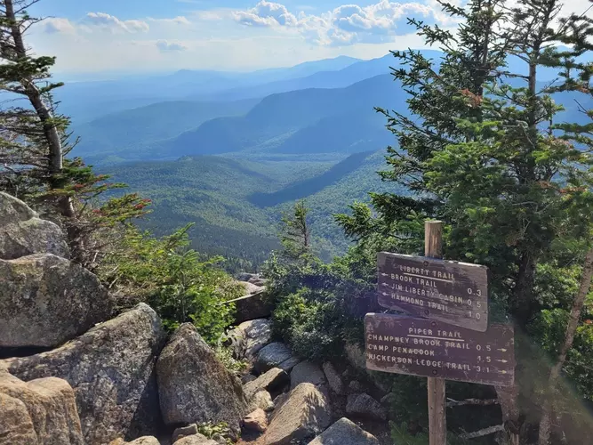
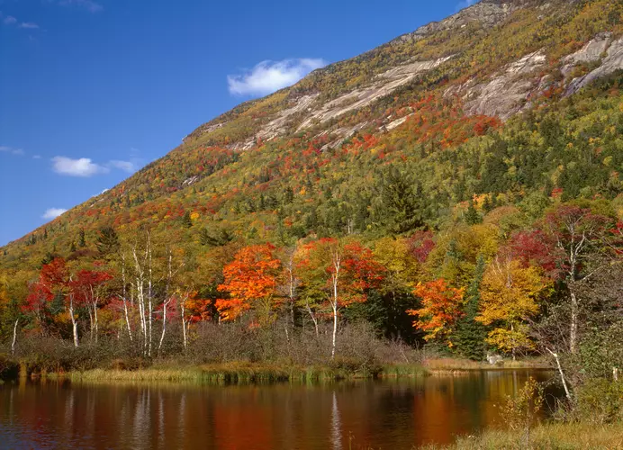
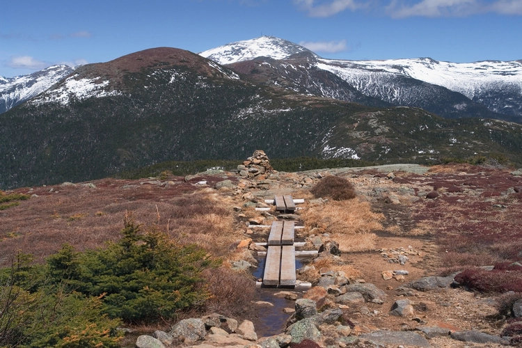
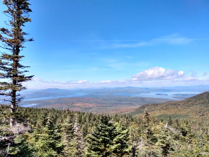
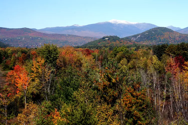
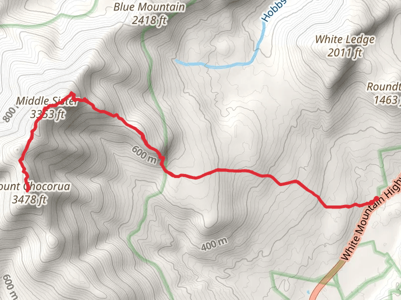
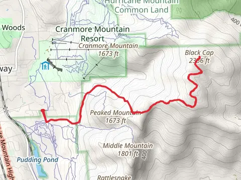
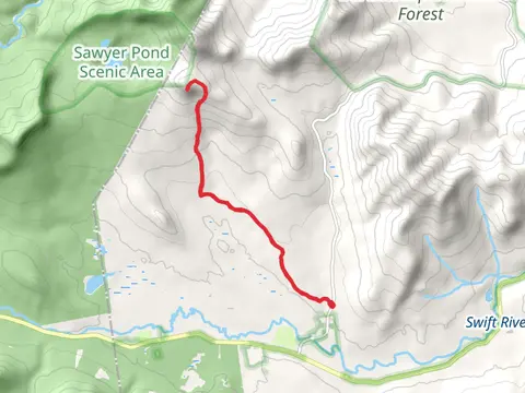
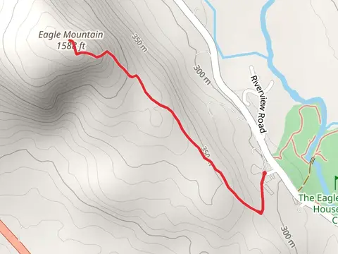
Check out some of the best hiking, walking and backpacking routes in Carroll County, New Hampshire. The Southern Presidential Loop is the most popular trail. The trails have 5777 user reviews with great photos and information. There are trails of various difficulty levels including easy, medium, difficult, and extra difficult. The trail with the highest elevation climb is the Mouth Washington via David's Path Trail and the trail with the least amount of climbing is the White Lake Loop Trail. The longest trail is the Mount Passaconaway to Mount Tecumseh via Blueberry Ledge Trail at 52.1 km. For a shorter adventure you can try the Hoyt Wildlife Sanctuary Loop Trail at 883 m. Get off line access to Town, Restaurant, Water, and Peak locations and much more with a Hiiker subscription.

Be prepared for hiking in New Hampshire with the HiiKER app