Download
3D Flyover
Add to list
More
205.8 km
~9 days
6853 m
Multi-Day
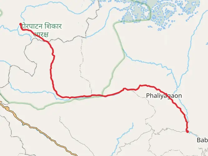
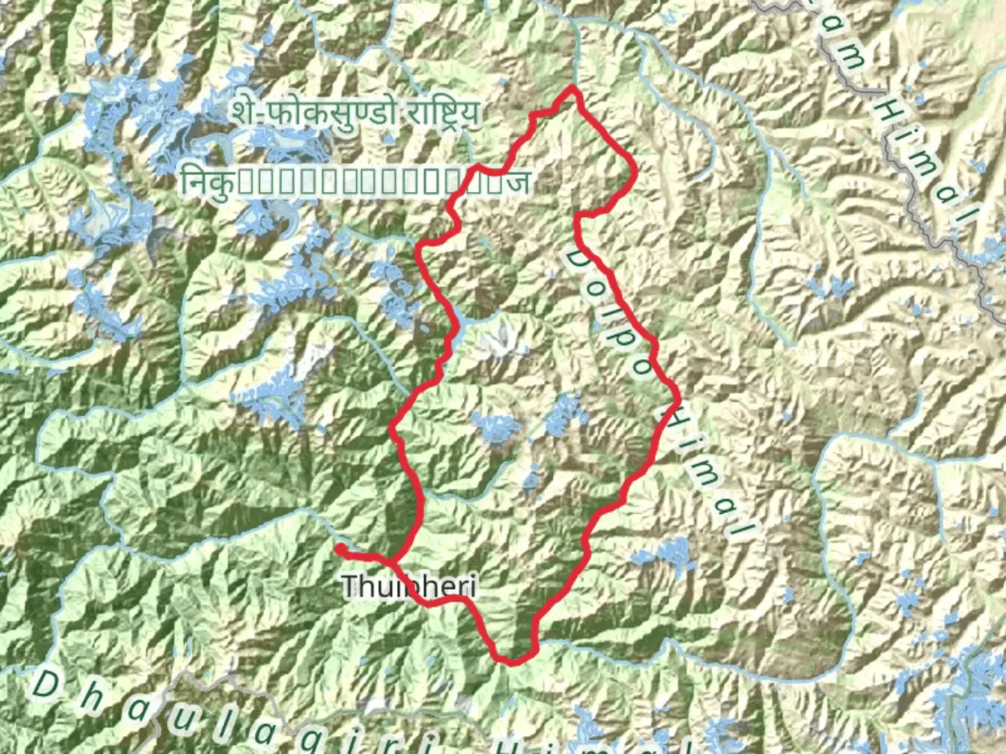
The Upper Dolpo Trek is a 205.8 km trail that starts in Juphal, Thuli Bheri, Nepal. Based on our data, the hike is graded as Extra Difficult. For information on how we grade trails, please read measuring the difficulty of a hiking trail on hiiker. Also, check our latest community posts for trail updates. This hike can be completed in approx 9 days. Caution is advised on trail times as this depends on multiple variables. For more info read about how we calculate hike time.

Frequently asked questions
How difficult is the Upper Dolpo Trek in Nepal?
The Upper Dolpo Trek is an extra-difficult multi-day route covering 205.78 km with 6,853 m of climbing. It is considered one of Nepal’s toughest treks because it combines very long distances, major elevation gain, remote terrain, and restricted-area logistics in Upper Dolpa inside and beyond Shey Phoksundo National Park.
What is the distance of the Upper Dolpo Trek?
The Upper Dolpo Trek is 205.78 km long. That length, combined with 6,853 m of elevation gain, makes it a serious expedition-style trek rather than a short lodge-to-lodge circuit, and most itineraries break it into many days across the high valleys of Dolpa.
How much do permits cost for the Upper Dolpo Trek?
The main official fees for the Upper Dolpo Trek include the restricted-area permit for Upper Dolpa and the Shey Phoksundo National Park entry fee. Nepal Tourism Board lists Upper Dolpa as a restricted area requiring a trekking permit from the Department of Immigration, and lists the Shey Phoksundo National Park entry fee for foreign nationals at NRs. 3,000 per person per entry.
Does the Upper Dolpo Trek go to Phoksundo Lake?
Yes. Upper Dolpo routes commonly include Shey Phoksundo Lake, one of the best-known landmarks in Dolpa, before continuing deeper into Upper Dolpo. Phoksundo Lake sits in Shey Phoksundo National Park near Ringmo, and many itineraries use the lake area as the transition point from the lower approach into the more remote upper valleys.
Can the Upper Dolpo Trek be started from Phoksundo Lake?
Yes, many Upper Dolpo itineraries are described from the Phoksundo Lake area, especially after the approach through Juphal, Dunai, Chhepka, and Ringmo. From Shey Phoksundo Lake, the route typically pushes into the inner Dolpo valleys and higher passes, so the lake is a realistic staging point rather than just a side trip.
What is the difference between the Upper Dolpo Trek and Lower Dolpo trekking routes?
Upper Dolpo is the more remote and more demanding option, with restricted-area rules, longer expedition logistics, and multiple high passes above 5,000 m on many standard routes. Lower Dolpo is generally centered more around places like Ringmo, Dho Tarap, and the Phoksundo region, and is usually considered less committing than the full Upper Dolpo journey.
Comments and Reviews
User comments, reviews and discussions about the Upper Dolpo Trek, Nepal.
5.0
average rating out of 5
3 rating(s)