Download
3D Flyover
Add to list
More
48.0 km
~3 days
3237 m
Multi-Day
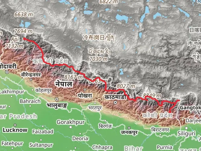
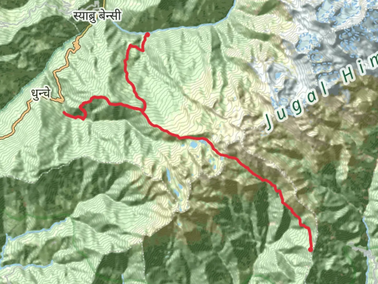
The Gosainkunda Trek is a 48.0 km trail that starts in Ducheshwar, Ducheshwar, Nepal. Based on our data, the hike is graded as Extra Difficult. For information on how we grade trails, please read measuring the difficulty of a hiking trail on hiiker. Also, check our latest community posts for trail updates. This hike can be completed in approx 3 days. Caution is advised on trail times as this depends on multiple variables. For more info read about how we calculate hike time.

Frequently asked questions
Is the Gosainkunda Trek difficult from Dhunche?
Yes. The Gosainkunda Trek is an extra-difficult multi-day route covering 47.96 km with 3,237 m of elevation gain, and the high point around Gosainkunda sits at about 4,380 m. The climb from Dhunche through Chandanbari and Laurebina involves long uphill days, thinner air, and a demanding altitude profile.
How long is the Gosainkunda Trek and how many days does the Gosainkunda Trek take?
The Gosainkunda Trek is 47.96 km long. A common Dhunche out-and-back itinerary takes about 5 trekking days, typically going Dhunche to Chandanbari, then to Gosainkunda, before returning the same way, although stronger trekkers sometimes compress it into 3 days with much longer daily efforts.
What is the usual Gosainkunda Trek route from Dhunche?
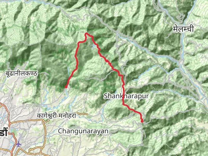
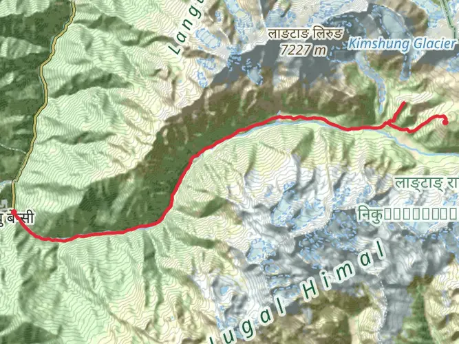
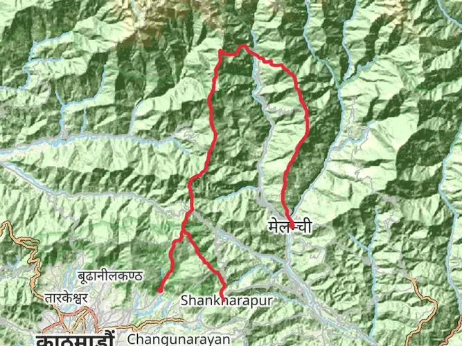
The standard Gosainkunda Trek route from Dhunche climbs north through Langtang National Park to Sing Gompa, also called Chandanbari, then continues via Laurebina to Gosainkunda Lake. Many trekkers return to Dhunche on the same line, while longer versions continue beyond the lake toward Laurebina La and Helambu.
Can the Gosainkunda Trek be done in 3 days or is 5 days better?
The Gosainkunda Trek can be done in 3 days, but that is a fast and strenuous schedule for a 47.96 km route with 3,237 m of ascent. Around 5 days is the more balanced option from Dhunche because it spreads out the climb to Chandanbari and Gosainkunda and gives more margin for altitude and weather.
Which month is best for the Gosainkunda Trek?
The best months for the Gosainkunda Trek are usually in spring and autumn, especially March to May and October to November. These periods are known for clearer mountain views, drier trails, and more stable weather around Dhunche, Chandanbari, and the high lakes than the monsoon months or deep winter.
How high is Gosainkunda on the Gosainkunda Trek?
Gosainkunda Lake is at about 4,380 m in Langtang National Park, and the nearby Laurebina La pass is around 4,610 m. That altitude is a major reason the trek feels much harder than the raw distance alone suggests, even on a route under 50 km.
Comments and Reviews
User comments, reviews and discussions about the Gosainkunda Trek, Nepal.
4.63
average rating out of 5
8 rating(s)