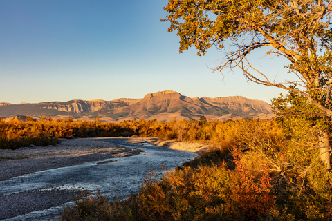
The best hikes in Teton County
Montana · 25 HiiKER Hikes
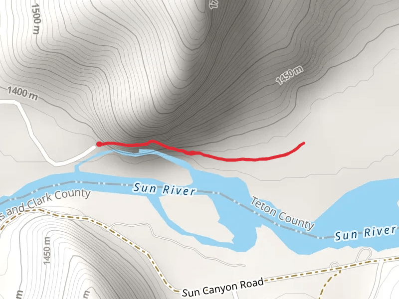
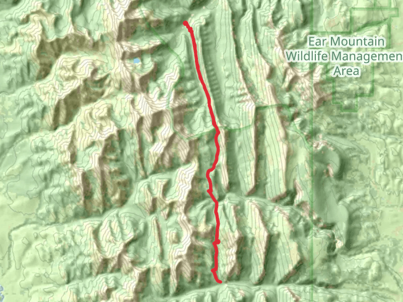
View Hikes on map
What to expect
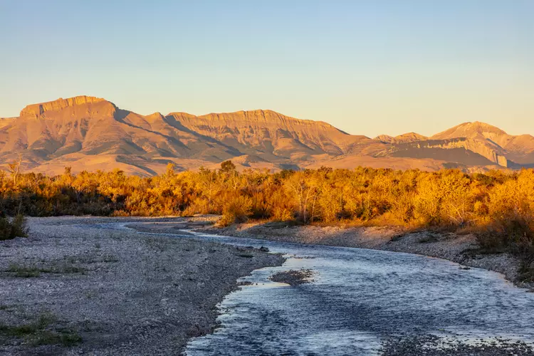
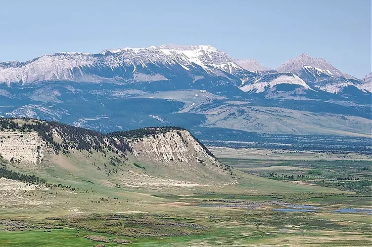
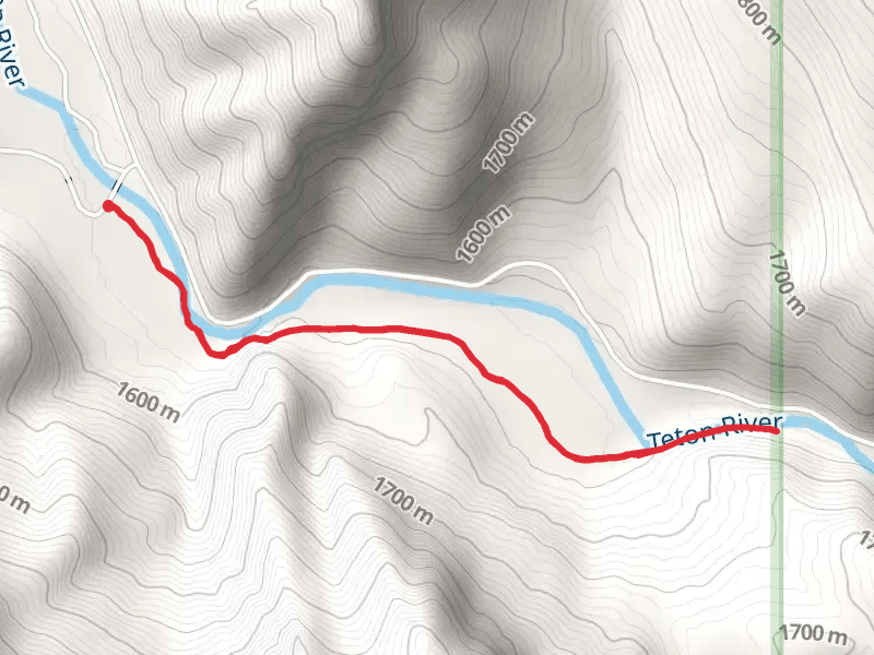
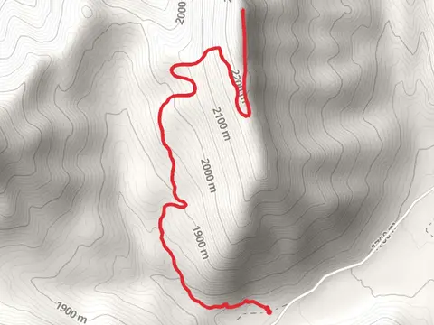
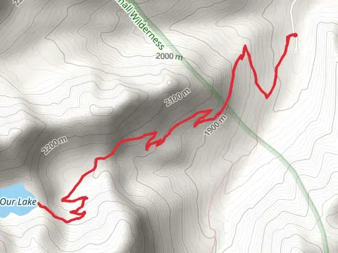
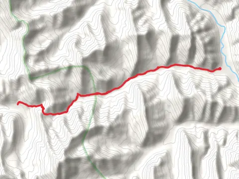
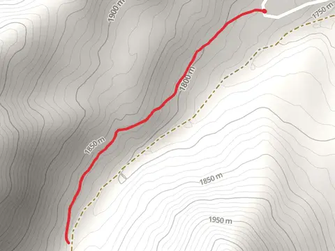
Check out some of the best hiking, walking and backpacking routes in Teton County, Montana. The Clary Coulee Trail is the most popular trail. The trail with the highest elevation climb is the Rocky Mountain Loop via Headquarters Creek Trail and the trail with the least amount of climbing is the Wagner Basin Trail. The longest trail is the Ray Creek via Headquarters Creek Trail at 57.2 km. For a shorter adventure you can try the Wagner Basin Trail at 1.4 km. Get off line access to Campsite, Water, and Peak locations and much more with a Hiiker subscription.

Be prepared for hiking in Montana with the HiiKER app