The best hikes in Sweet Grass County
Montana · 30 HiiKER Hikes
View Hikes on map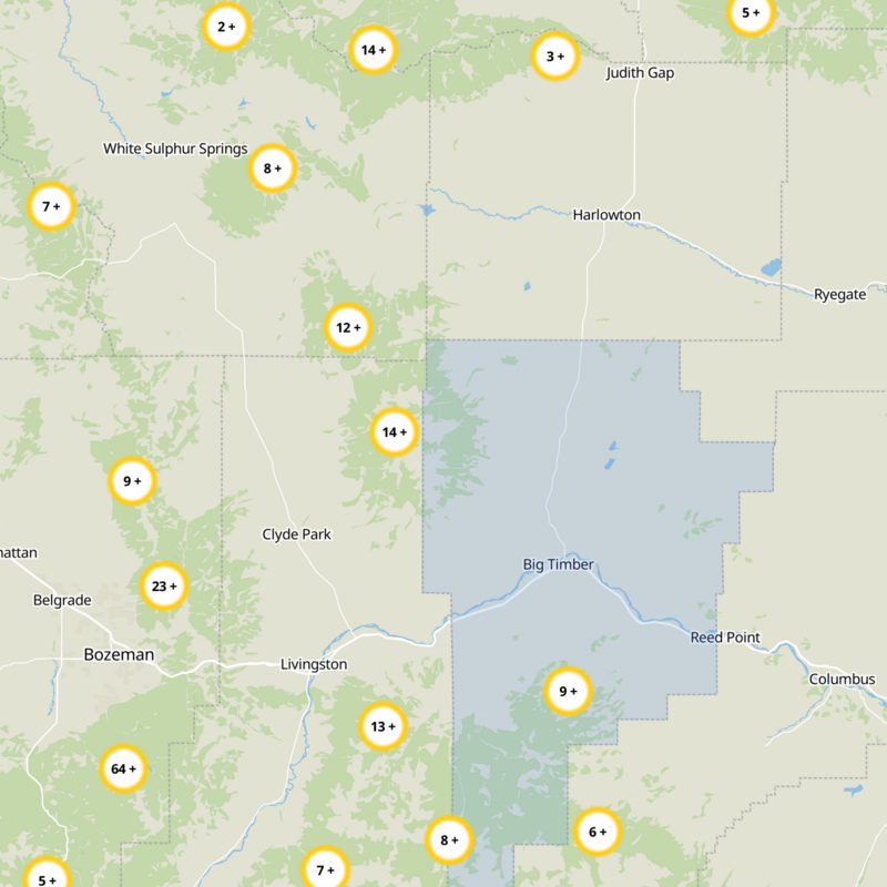
What to expect
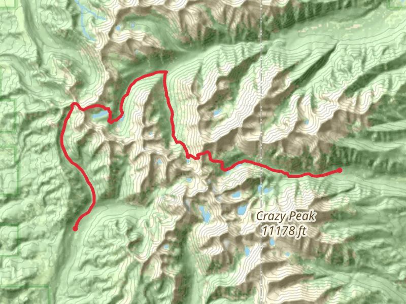
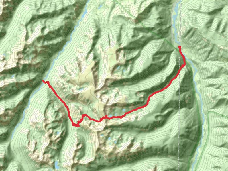
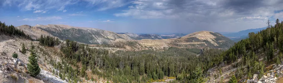
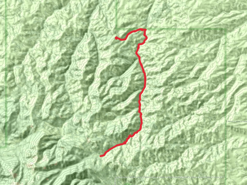
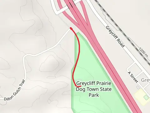
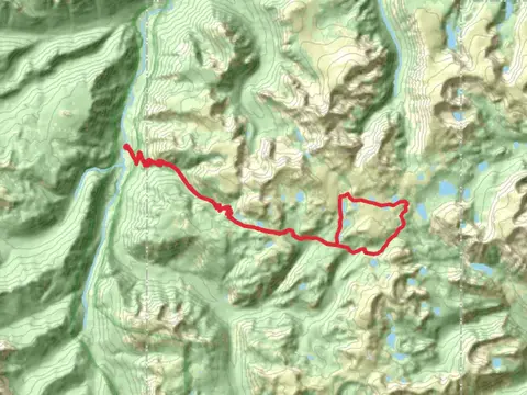
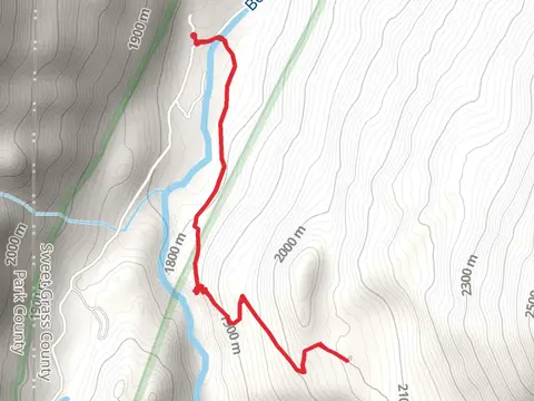
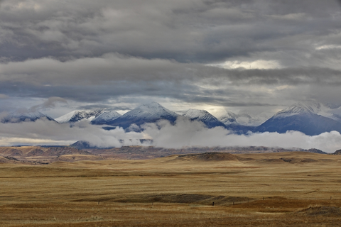
Check out some of the best hiking, walking and backpacking routes in Sweet Grass County, Montana. The Crazy Mountains Traverse is the most popular trail. The trails have 423 user reviews with great photos and information. There are trails of various difficulty levels including easy, medium, difficult, and extra difficult. The trail with the highest elevation climb is the Great Falls Creek Trail and the trail with the least amount of climbing is the Greycliff Prairie Dog Town State Park. The longest trail is the Great Falls Creek Trail at 55.6 km. For a shorter adventure you can try the East Rim of Natural Bridge Trail at 1.1 km. Get off line access to Post Office, Campsite, Peak, and Water locations and much more with a Hiiker subscription.

Be prepared for hiking in Montana with the HiiKER app