The best hikes in Sanders County
Montana · 82 HiiKER Hikes
View Hikes on map


What to expect
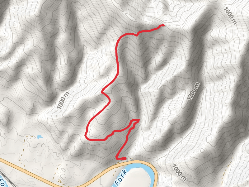
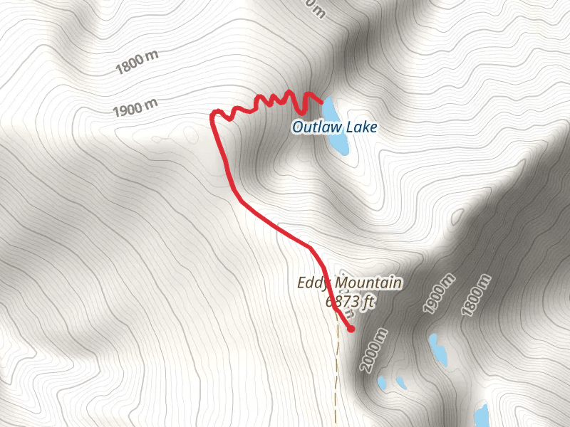
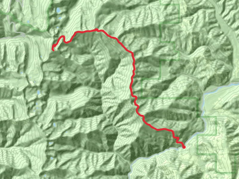
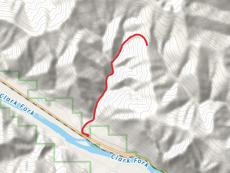
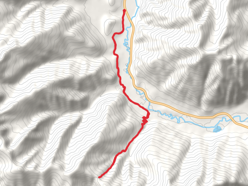
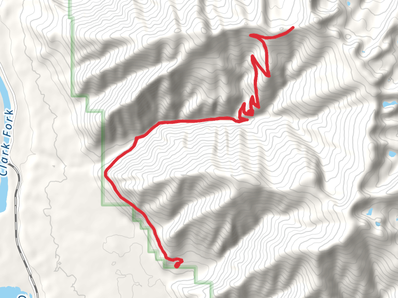
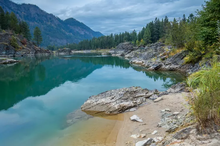
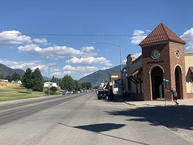
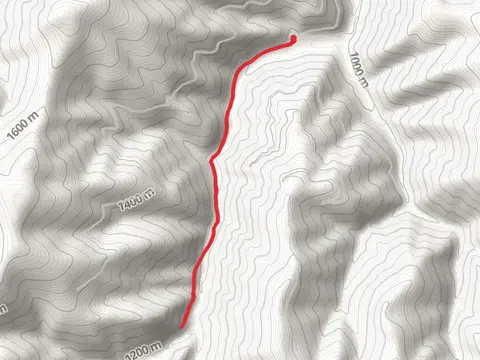
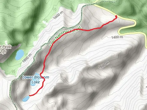
Check out some of the best hiking, walking and backpacking routes in Sanders County, Montana. The West Fork Swamp Creek Trail is the most popular trail. There are trails of various difficulty levels including easy, medium, difficult, and extra difficult. The trail with the highest elevation climb is the Sundance Ridge Trail and the trail with the least amount of climbing is the Clark Fork and Walking Bridge. The longest trail is the Silcox - Headley Trail at 49.0 km. For a shorter adventure you can try the Marten Creek Bay Overlook Trail at 912 m. Get off line access to Town, Campsite, Water, and Peak locations and much more with a Hiiker subscription.

Be prepared for hiking in Montana with the HiiKER app