The best hikes in Meagher County
Montana · 42 HiiKER Hikes
View Hikes on map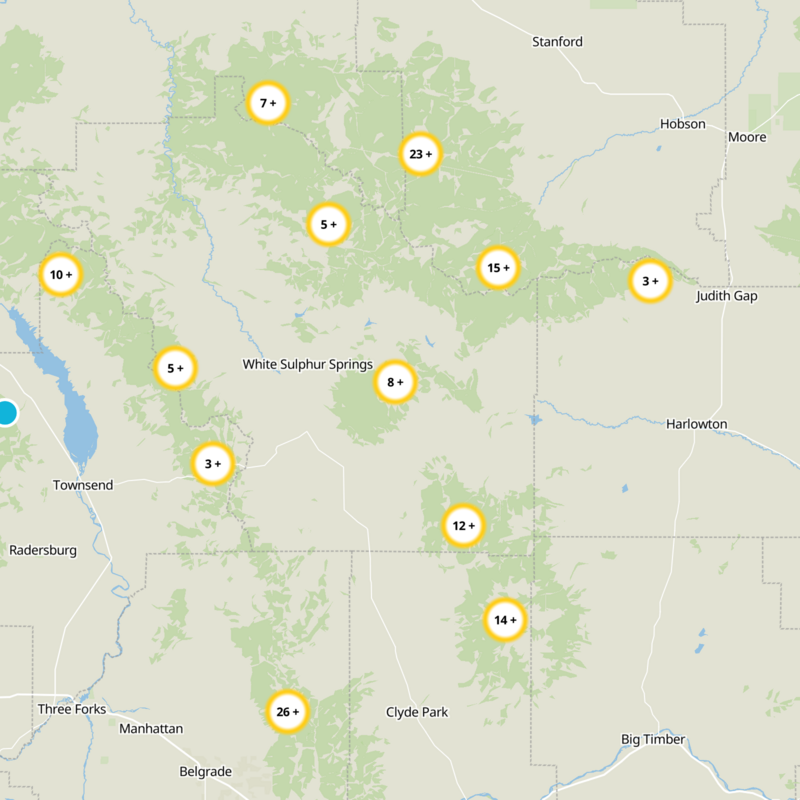
What to expect
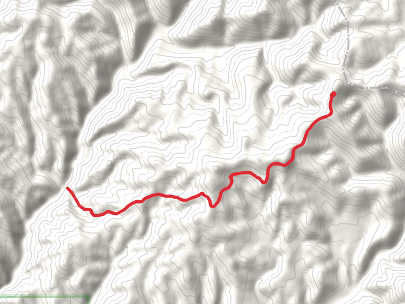
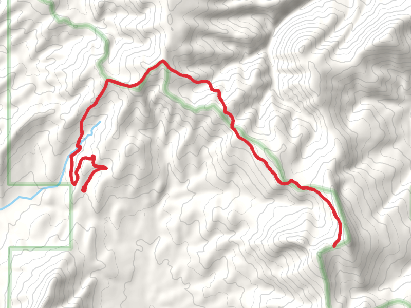
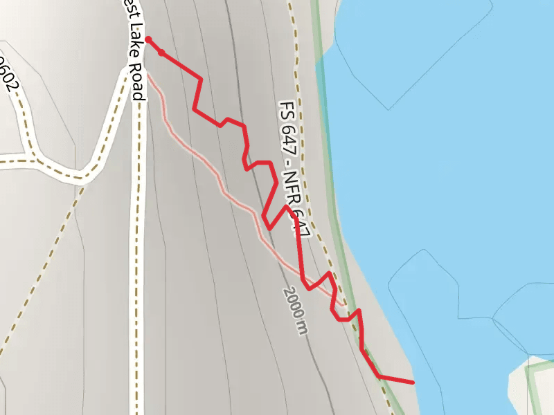
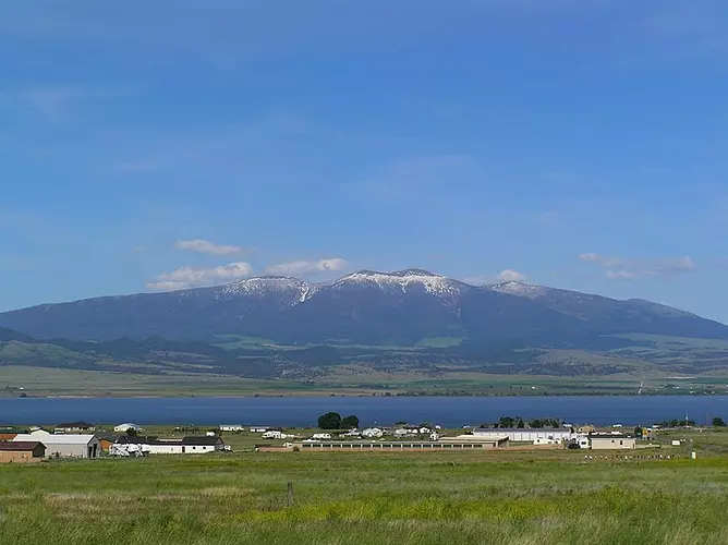
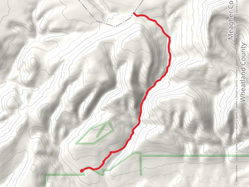
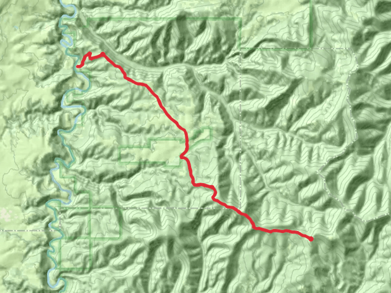
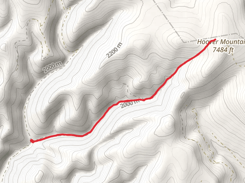
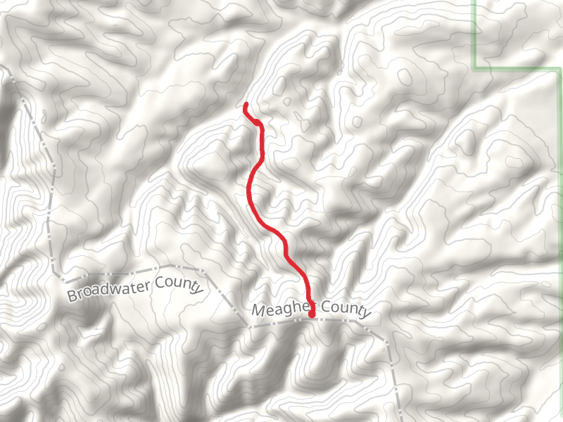
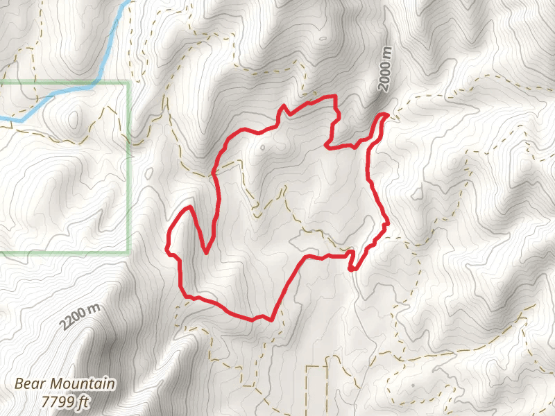
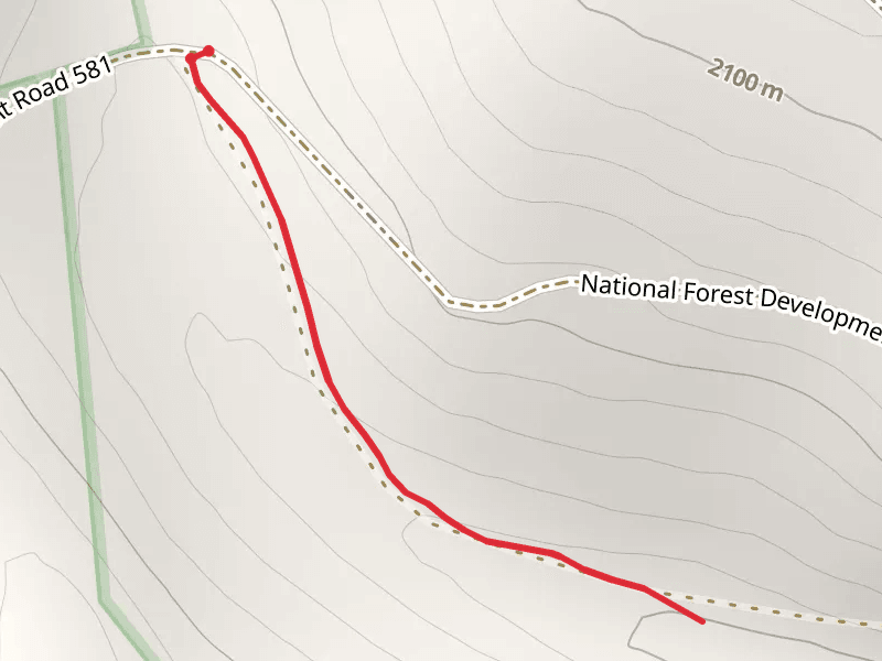
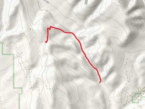
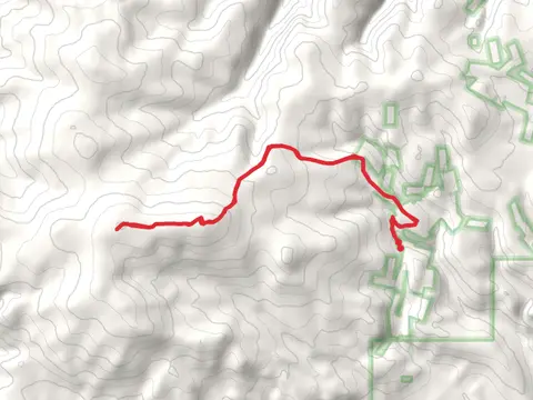
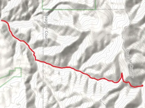
Check out some of the best hiking, walking and backpacking routes in Meagher County, Montana. The Birch Creek Trail is the most popular trail. There are trails of various difficulty levels including easy and medium. The trail with the highest elevation climb is the Wapiti Peak Out and Back and the trail with the least amount of climbing is the Fries Ridge Trail. The longest trail is the Parker Ridgevia Desolation Peak Trail at 40.9 km. For a shorter adventure you can try the Forest Lake Trail at 740 m. Get off line access to Shelter, Campsite, Water, and Peak locations and much more with a Hiiker subscription.

Be prepared for hiking in Montana with the HiiKER app