The best hikes in Lewis and Clark County
Montana · 113 HiiKER Hikes
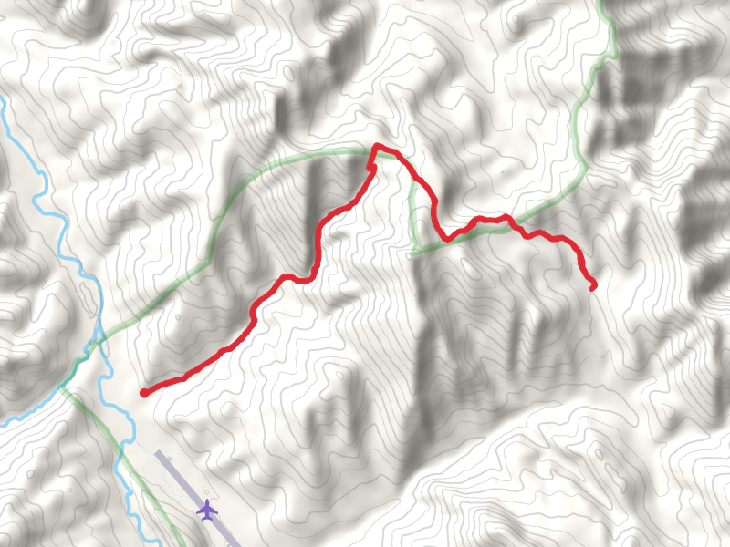
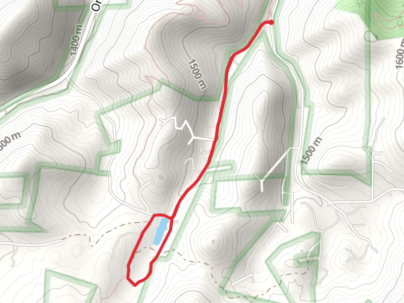
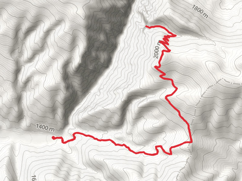
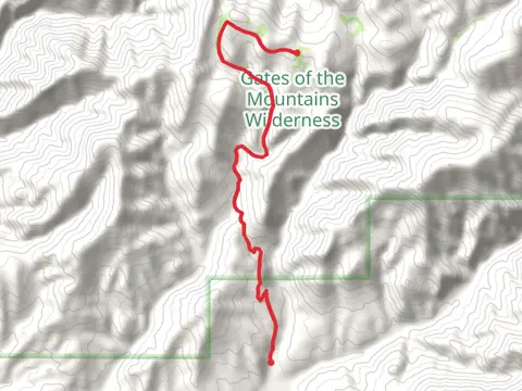
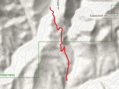
View Hikes on map

What to expect
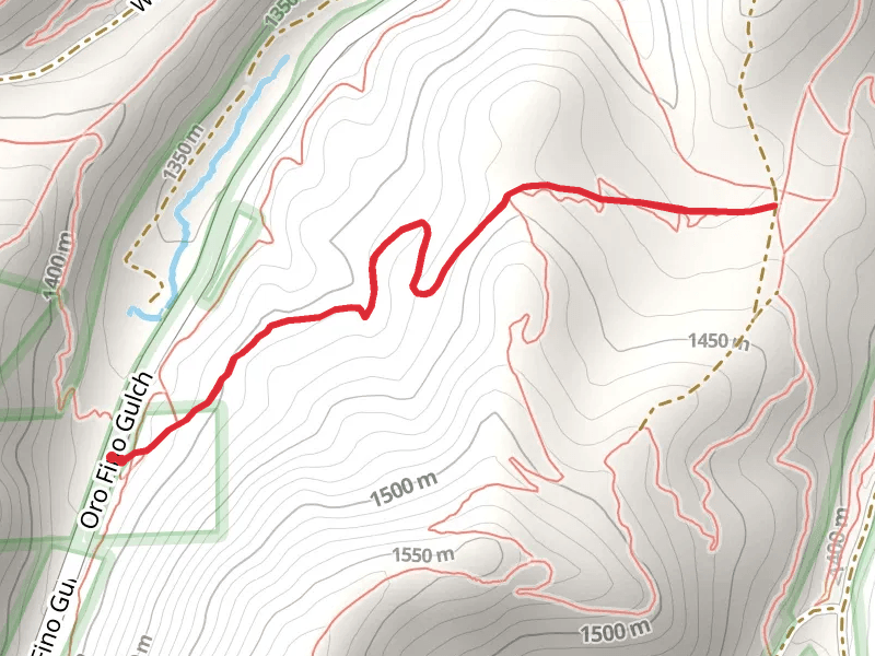
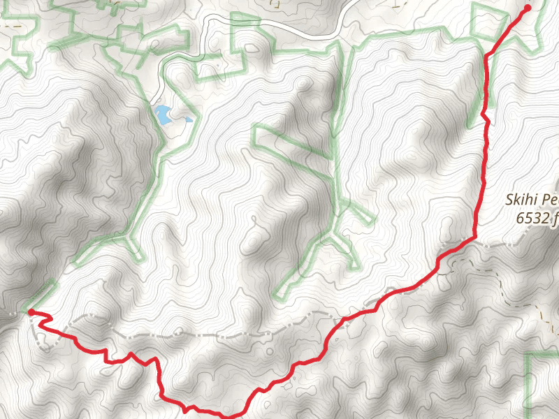
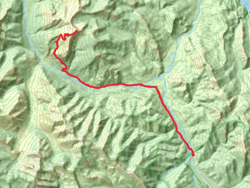
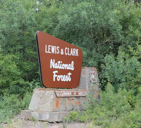
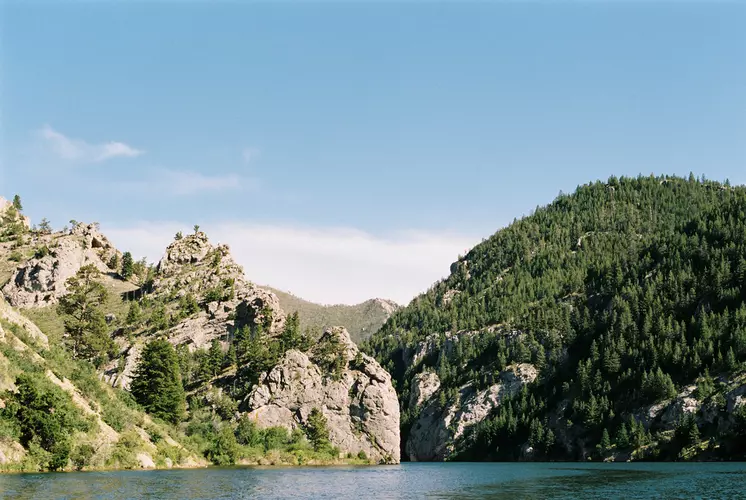
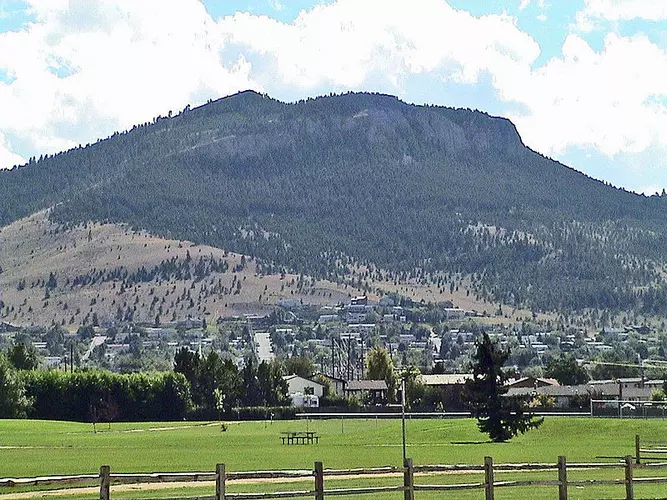
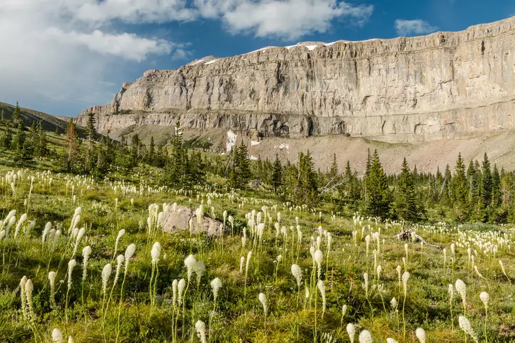
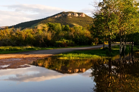
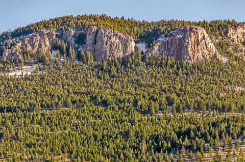
Check out some of the best hiking, walking and backpacking routes in Lewis and Clark County, Montana. The TR Trail is the most popular trail. The trails have 2085 user reviews with great photos and information. There are trails of various difficulty levels including easy, medium, difficult, and extra difficult. The trail with the highest elevation climb is the Red Mountainvia East Fork North Fork Trail and the trail with the least amount of climbing is the Walk along Missouri River - Black Sandy State Park Campground. The longest trail is the Omar Mountain via Dwight Creek and North Fork Trail at 66.4 km. For a shorter adventure you can try the Cataract Falls and Cataract Falls Tie Trail at 549 m. Get off line access to Fastfood, Shelter, Shop, and Restaurant locations and much more with a Hiiker subscription.

Be prepared for hiking in Montana with the HiiKER app