The best hikes in Lake County
Montana · 25 HiiKER Hikes
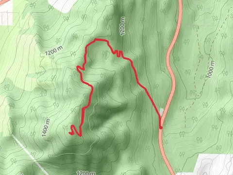
View Hikes on map
What to expect
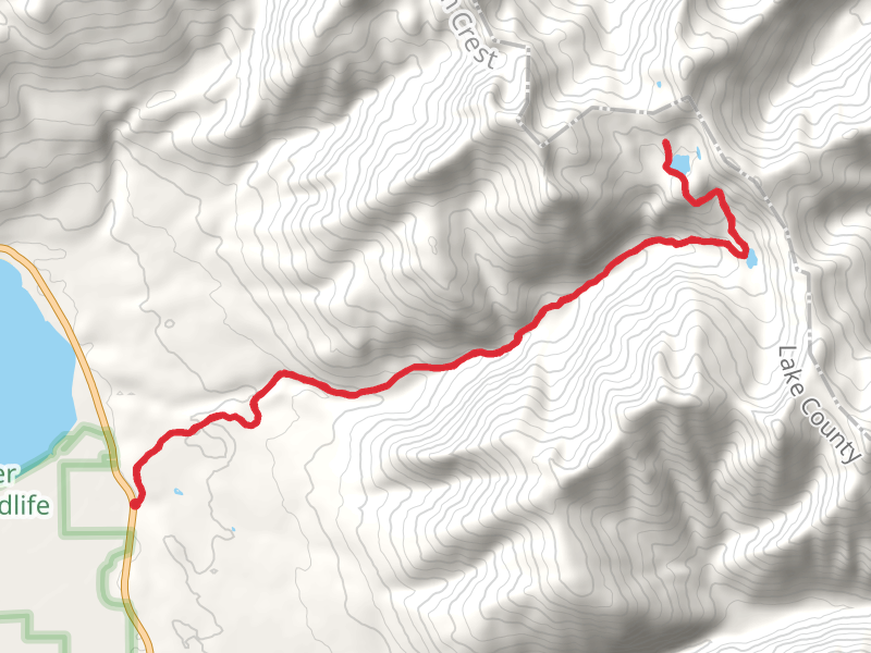
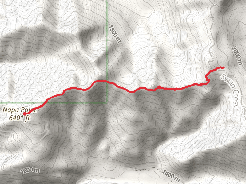
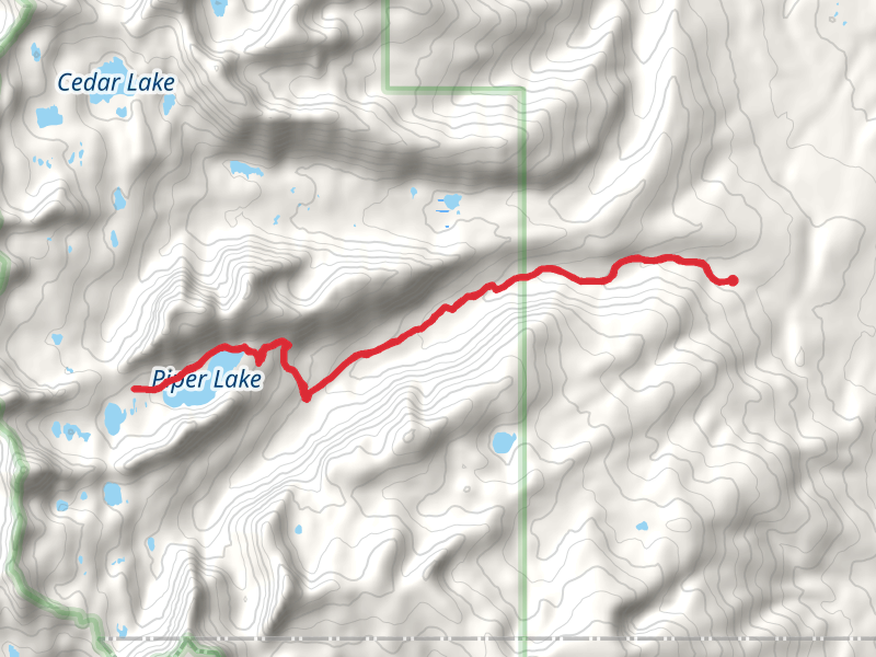
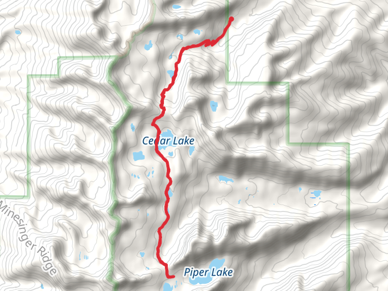
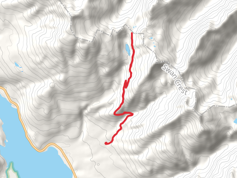
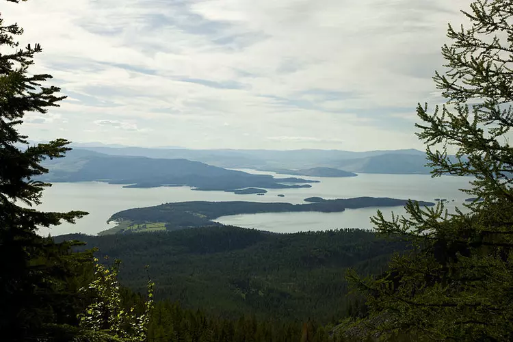
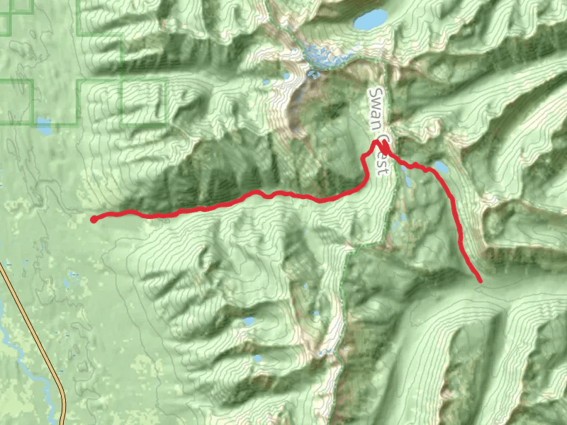
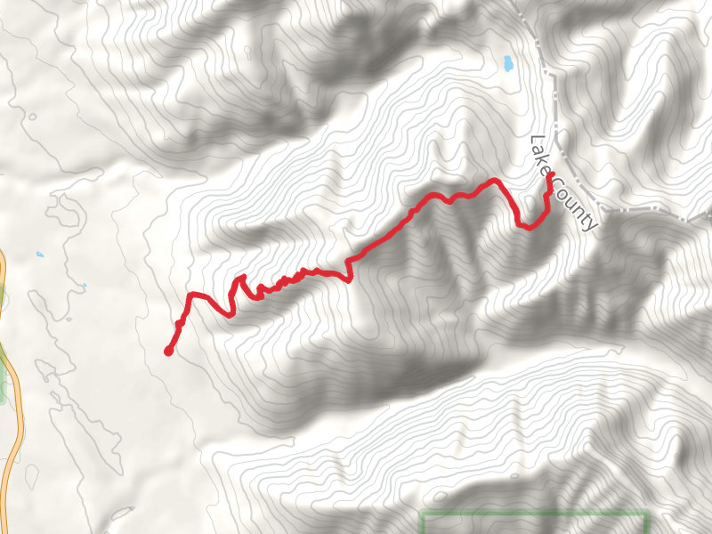
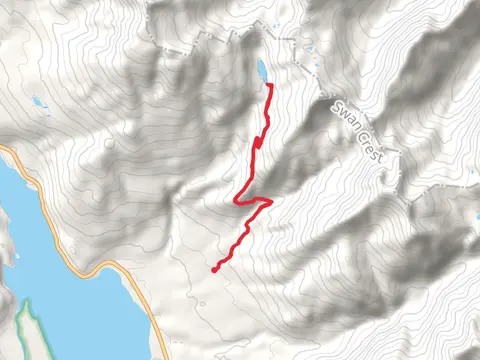
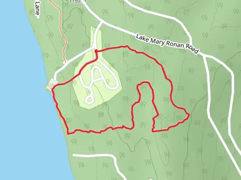
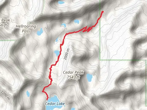
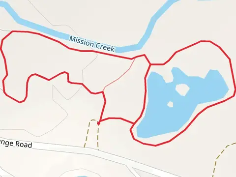
Check out some of the best hiking, walking and backpacking routes in Lake County, Montana. The Estes Lake Trail is the most popular trail. There are trails of various difficulty levels including easy, medium, and difficult. The trail with the highest elevation climb is the Warrior Mountain, Gildart Mountain and Spring Slide Mountain and the trail with the least amount of climbing is the Bison Range Road Loop. The longest trail is the Lion - Palisade Trail at 41.8 km. For a shorter adventure you can try the Flathead Lake Trail at 732 m. Get off line access to Healthcare, Shelter, Water, and Peak locations and much more with a Hiiker subscription.

Be prepared for hiking in Montana with the HiiKER app