Hiking trails in Glacier County
Montana · 138 HiiKER Hikes
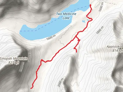
View Hikes on map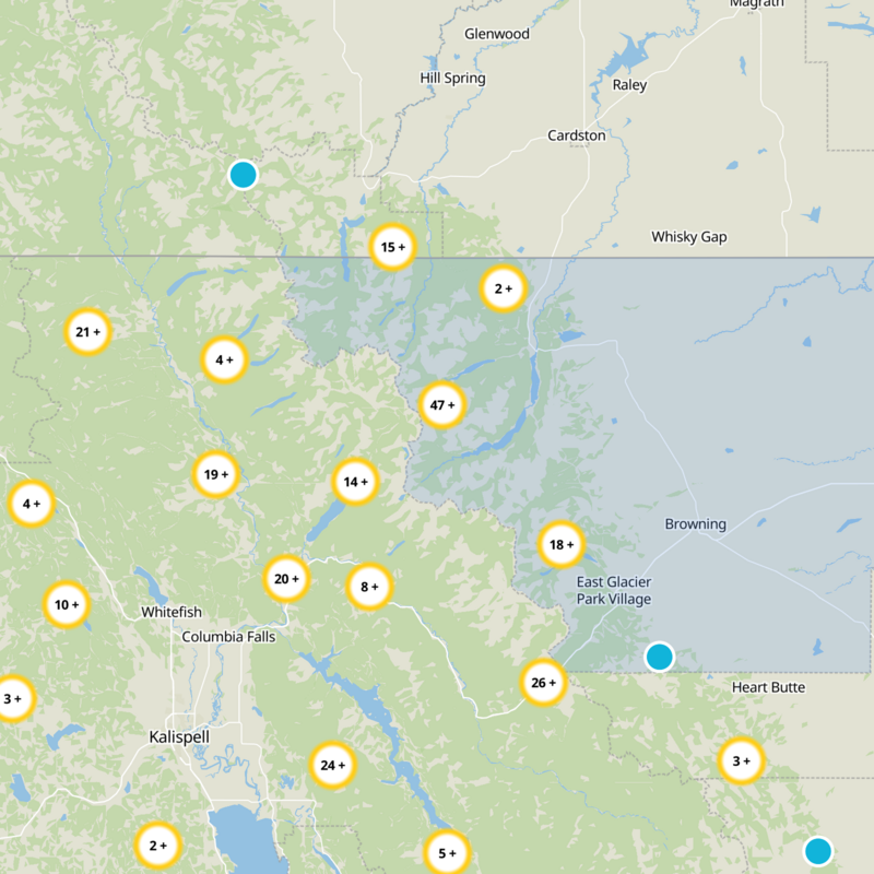
What to expect
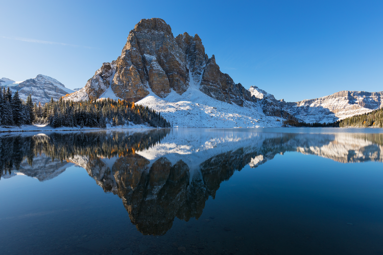
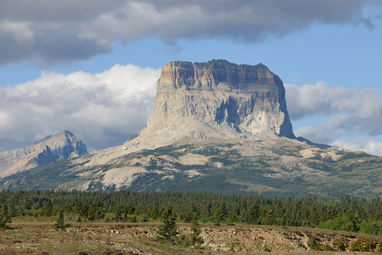
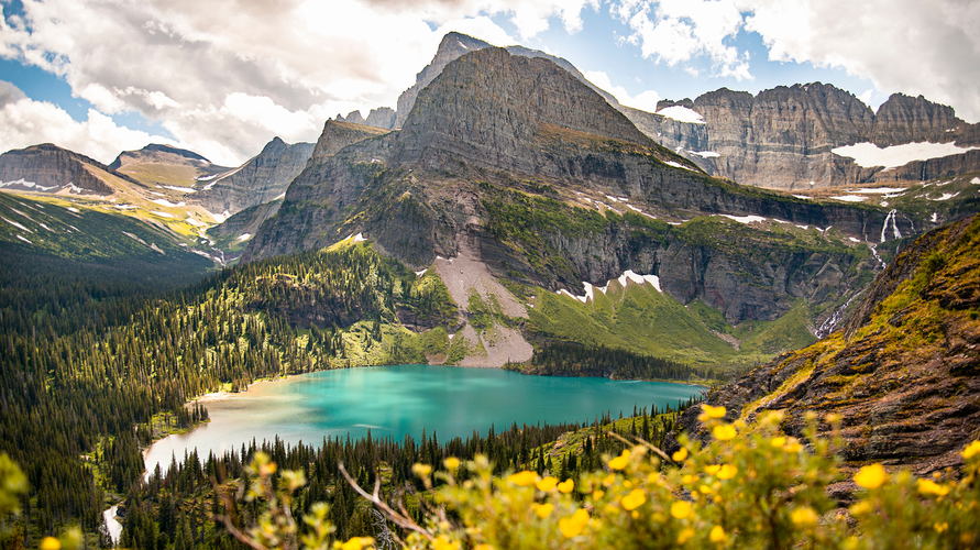
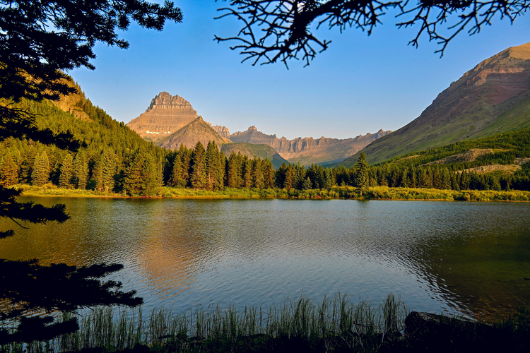
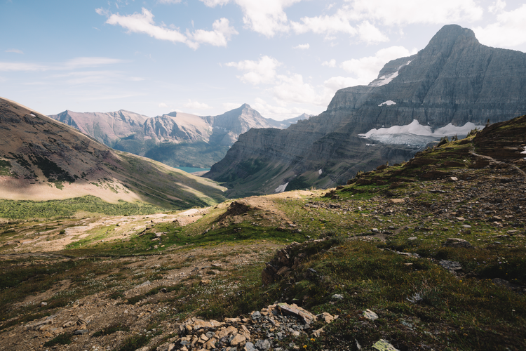
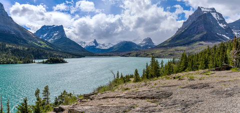
Check out some of the best hiking, walking and backpacking routes in Glacier County, Montana. The Great Divide Trail is the most popular trail. The trails have 2753 user reviews with great photos and information. There are trails of various difficulty levels including easy, medium, difficult, and extra difficult. The trail with the highest elevation climb is the Mount Siyeh via CDT and the trail with the least amount of climbing is the Cut Bank Creek Walk. The longest trail is the Great Divide Trail at 1192.6 km. For a shorter adventure you can try the Running Eagle Falls Trail at 882 m. Get off line access to Restaurant, Campsite, Water, and Peak locations and much more with a Hiiker subscription.
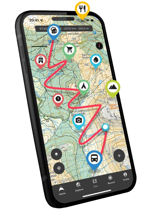
Be prepared for hiking in Montana with the HiiKER app