Download
3D Flyover
Add to list
More
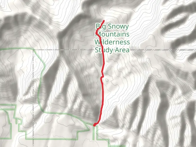
Trail length
30.5 km
Time
~2 days
Elevation Gain
910 m
Hike Type
Multi-Day
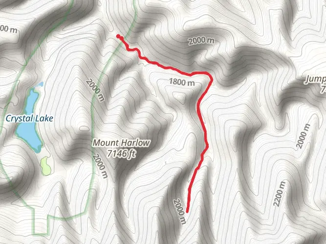
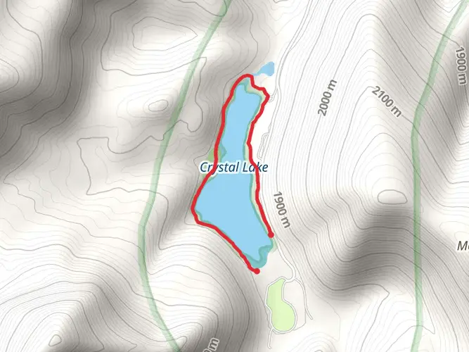
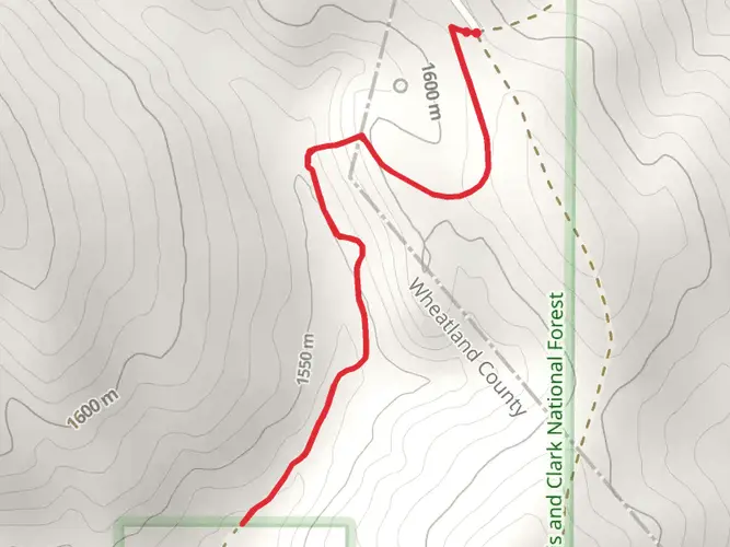
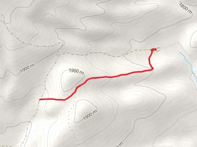
The Uhlhorn Trail is a 30.5 km trail that starts in Moore, Fergus County, Montana. Based on our data, the hike is graded as Medium. For information on how we grade trails, please read measuring the difficulty of a hiking trail on hiiker. Also, check our latest community posts for trail updates. This hike can be completed in approx 7 hrs 37 mins. Caution is advised on trail times as this depends on multiple variables. For more info read about how we calculate hike time.

Comments and Reviews
User comments, reviews and discussions about the Uhlhorn Trail, Montana.
5.0
average rating out of 5
2 rating(s)