The best hikes in Fergus County
Montana · 8 HiiKER Hikes
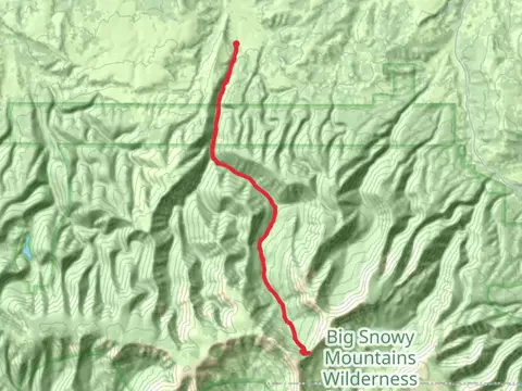
View Hikes on map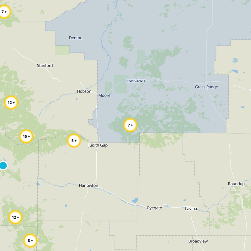


What to expect
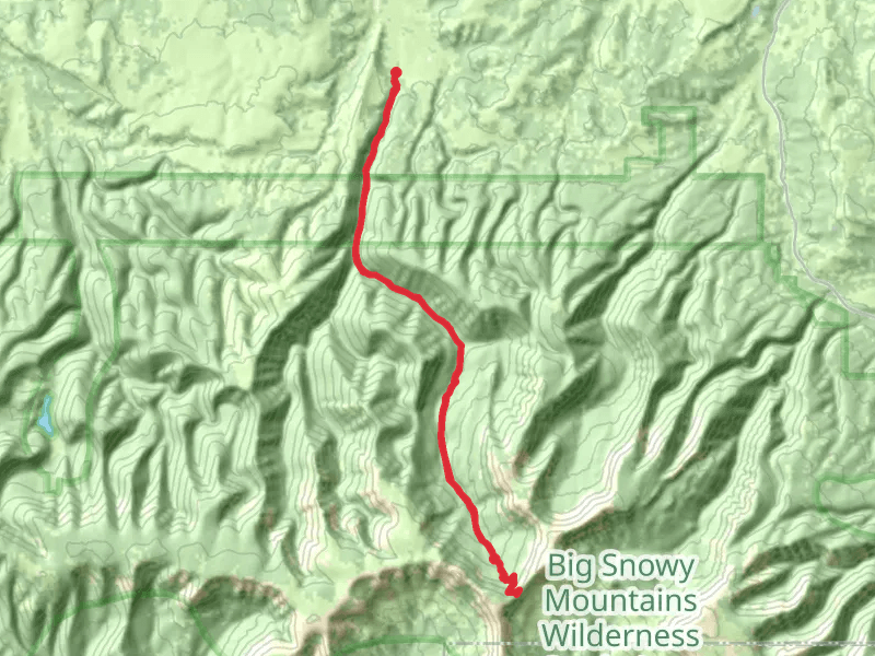
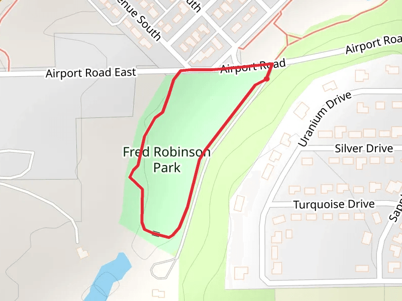
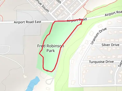
Check out some of the best hiking, walking and backpacking routes in Fergus County, Montana. The Grandview Pointvia Crystal Lake Trail is the most popular trail. The trails have 96 user reviews with great photos and information. There are trails of various difficulty levels including easy and medium. The trail with the highest elevation climb is the Uhlhorn Trail and the trail with the least amount of climbing is the Robinson Drive Loop. The longest trail is the East Fork Cottonwood Creek Trail at 33.0 km. For a shorter adventure you can try the Robinson Drive Loop at 820 m. Get off line access to Shop, Water, Restaurant, and Peak locations and much more with a Hiiker subscription.

Be prepared for hiking in Montana with the HiiKER app