Download
Preview
Add to list
More
2.3 km
~31 min
40 m
Loop
“The Laurel Park Loop Trail, rich in history and natural beauty, offers an accessible yet moderately challenging 2 km hike.”
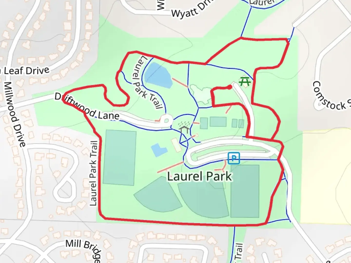
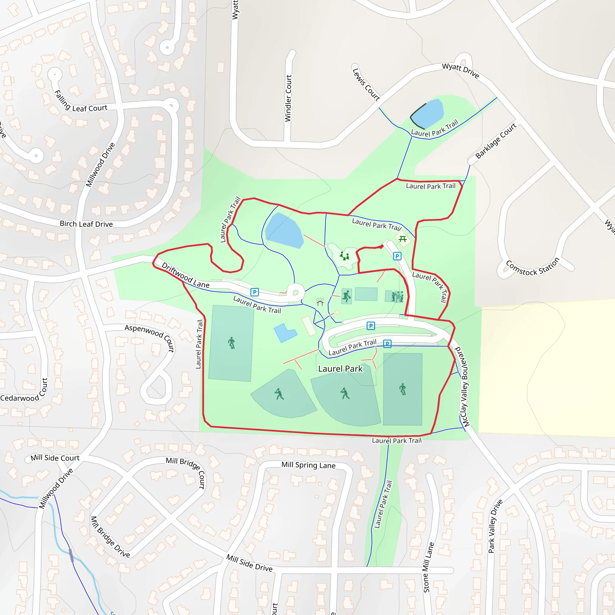
Nestled near St. Charles County, Missouri, the Laurel Park Loop Trail offers a delightful 2 km (1.24 miles) loop with virtually no elevation gain, making it an accessible yet moderately challenging hike for most outdoor enthusiasts. The trailhead is conveniently located near the Laurel Park entrance, which can be accessed by car or public transport. If driving, you can park at the Laurel Park parking lot, situated at 181 Driftwood Lane, St. Peters, MO 63376. For those using public transport, the nearest bus stop is at the intersection of McClay Road and Jungermann Road, just a short walk from the park entrance.
Trail Navigation and Terrain
The Laurel Park Loop Trail is well-marked and maintained, making navigation straightforward. However, it's always a good idea to have a reliable navigation tool like HiiKER to ensure you stay on track. The trail surface is a mix of packed dirt and gravel, with occasional roots and rocks, so sturdy hiking shoes are recommended. Despite the lack of significant elevation gain, the trail's moderate difficulty rating comes from its varied terrain and occasional narrow sections.
Flora and Fauna
As you embark on the loop, you'll be greeted by a lush canopy of oak, hickory, and maple trees, providing ample shade and a serene atmosphere. In the spring and summer months, the trail is adorned with wildflowers such as coneflowers, black-eyed Susans, and violets. Keep an eye out for local wildlife, including white-tailed deer, red foxes, and a variety of bird species like cardinals, blue jays, and woodpeckers. The park's small pond, located about halfway through the loop, is a great spot for birdwatching and offers a peaceful resting point.
Historical Significance
The area surrounding Laurel Park has a rich history dating back to the early 19th century. St. Charles County was one of the first regions settled by European immigrants in Missouri, and remnants of this history can still be seen today. The park itself was established in the mid-20th century and has since become a beloved recreational area for locals and visitors alike. As you hike, you'll pass by several interpretive signs that provide insights into the region's historical significance, including information about the early settlers and the development of the local community.
Points of Interest
Approximately 0.5 km (0.31 miles) into the hike, you'll come across a charming wooden footbridge that spans a small creek. This is a popular spot for photos and offers a picturesque view of the surrounding forest. Further along the trail, around the 1 km (0.62 miles) mark, you'll find a scenic overlook that provides a panoramic view of the park's rolling hills and dense woodlands. This is an ideal spot to take a break and soak in the natural beauty of the area.
Trail Amenities
Laurel Park is equipped with several amenities to enhance your hiking experience. Near the trailhead, you'll find restrooms, picnic areas, and a playground, making it a great destination for families. There are also several benches along the trail where you can rest and enjoy the tranquility of the forest. Remember to carry enough water and snacks, as there are no water fountains along the trail.
Whether you're a seasoned hiker or a casual nature enthusiast, the Laurel Park Loop Trail offers a delightful escape into nature with its diverse flora and fauna, historical significance, and well-maintained path.
What to expect?
Activity types
Comments and Reviews
User comments, reviews and discussions about the Laurel Park Loop Trail, Missouri.
4.45
average rating out of 5
47 rating(s)
