Download
3D Flyover
Add to list
More
45.0 km
~2 days
1032 m
Point to Point
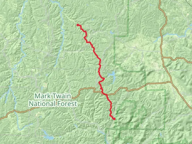
“Explore the Karkaghne Section's stunning landscapes and rich history on a rewarding Ozark Trail adventure.”
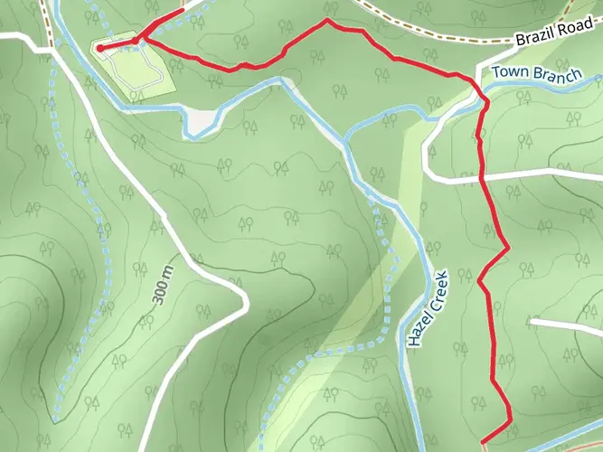
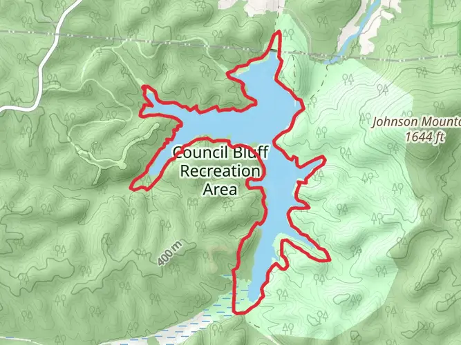
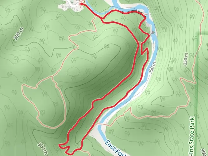
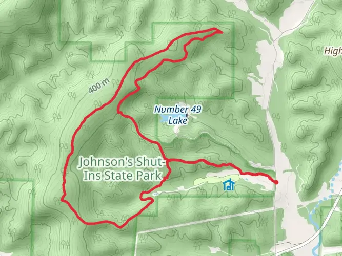
Nestled in the heart of the Missouri Ozarks, the Karkaghne Section of the Ozark Trail offers a captivating journey through rugged landscapes and rich history. Spanning approximately 45 kilometers (about 28 miles) with an elevation gain of around 1000 meters (3280 feet), this point-to-point trail is a medium-difficulty trek that promises both challenge and reward.
Getting There
The trailhead is conveniently located near Reynolds County, Missouri. For those traveling by car, the nearest significant landmark is the town of Ellington, Missouri. From Ellington, head north on Highway 21, then take a right onto Highway 106, which will lead you to the trailhead. If you're relying on public transport, the closest major city with bus services is St. Louis, from where you can rent a car or arrange a shuttle to the trailhead.
Trail Highlights
Scenic Landscapes
The Karkaghne Section is renowned for its diverse landscapes, ranging from dense forests to open glades. As you traverse the trail, you'll encounter a variety of tree species, including oak, hickory, and pine, which provide a vibrant display of colors, especially in the fall. The trail also offers several panoramic views of the surrounding Ozark hills, particularly as you ascend to higher elevations.
Water Features
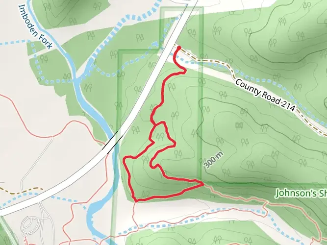
One of the trail's highlights is its proximity to the Black River, which you will encounter early in your journey. The river's clear waters offer a refreshing sight and a perfect spot for a break. Further along, you'll cross several smaller creeks and streams, which can swell during rainy seasons, so be prepared for potential water crossings.
Wildlife and Flora
The Ozark Trail is a haven for wildlife enthusiasts. Keep an eye out for white-tailed deer, wild turkeys, and a variety of bird species that inhabit the area. The trail's diverse flora also includes wildflowers that bloom in spring and summer, adding splashes of color to the landscape.
Historical Significance
The region surrounding the Karkaghne Section is steeped in history. The Ozarks were once home to Native American tribes, and later, European settlers who mined the area for lead and other minerals. As you hike, you may come across remnants of old homesteads and mining operations, offering a glimpse into the past.
Navigation and Safety
Given the trail's length and remote sections, it's crucial to have a reliable navigation tool. HiiKER is recommended for its detailed maps and real-time updates. Ensure you have adequate supplies, including water, food, and a first-aid kit, as services are limited along the trail. Weather can change rapidly, so check forecasts and prepare for varying conditions.
The Karkaghne Section of the Ozark Trail is a journey through natural beauty and historical intrigue, offering hikers a memorable experience in the Missouri wilderness.
AI Planner
Days planned around your pace, with somewhere to stay each night.

What to expect?
Activity types
Comments and Reviews
User comments, reviews and discussions about the Ozark Trail - Karkaghne Section, Missouri.
average rating out of 5
0 rating(s)