Download
3D Preview
Add to list
More
34.7 km
~7 hrs 8 min
125 m
Multi-Day
“Embark on the scenic Shockaloe Trail, a captivating 22-mile journey through Mississippi's verdant Bienville National Forest.”
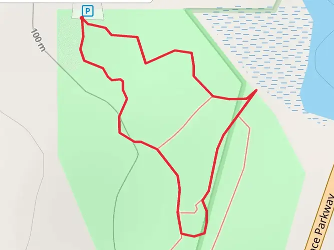
The Shockaloe Trail, winding through the Bienville National Forest near Scott County, Mississippi, offers a moderately challenging trek of approximately 35 kilometers (about 22 miles) with a minimal elevation gain of around 100 meters (328 feet). This point-to-point trail is a journey through lush forest landscapes, showcasing the natural beauty of the region.
Getting to the Trailhead
To reach the starting point of the Shockaloe Trail, hikers can drive to the Bienville National Forest, which is accessible via Highway 35. The trailhead is located near the Harrell Prairie Botanical Area, a significant landmark within the forest. For those relying on public transportation, options may be limited, and it's advisable to check local resources for the most current routes and schedules. Parking is available near the trailhead, allowing for a convenient start to the hike.
Trail Experience
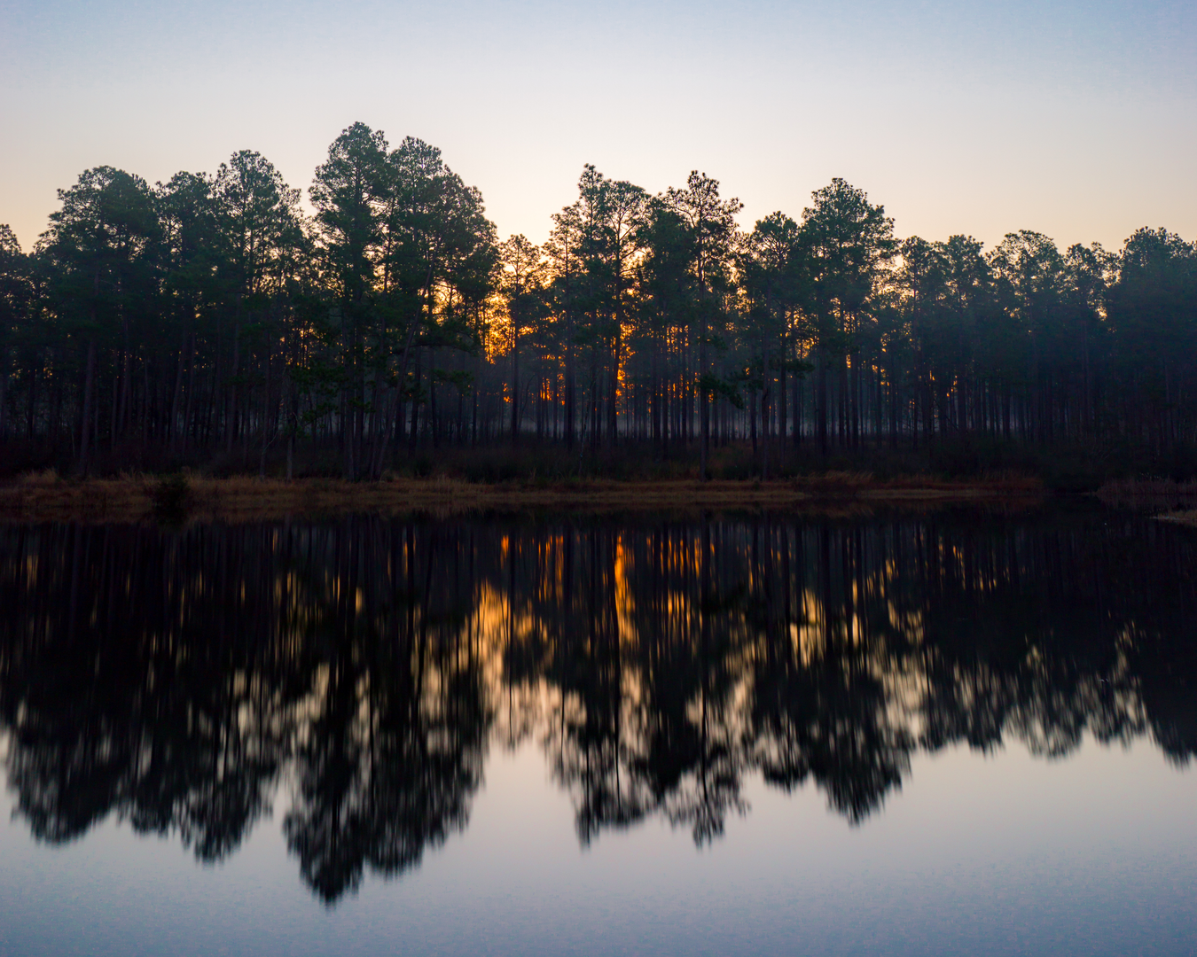
As you embark on the Shockaloe Trail, you'll be enveloped by the dense canopy of pine and hardwood trees, which provide a habitat for a variety of wildlife. Keep an eye out for white-tailed deer, wild turkeys, and numerous bird species that call this forest home. The trail is well-marked, but carrying a navigation tool like HiiKER is recommended to stay on track and monitor your progress.
The path meanders through a series of gentle hills and valleys, with the elevation gain spread out across the length of the trail, making it a steady and manageable climb. The terrain is a mix of packed earth and sections with loose stones, so wearing sturdy hiking boots is advisable.
Historical Significance and Landmarks
The Bienville National Forest is steeped in history, with the Shockaloe Trail offering a glimpse into the past. The forest is named after Jean-Baptiste Le Moyne de Bienville, a colonial governor of French Louisiana. As you hike, you may come across remnants of old homesteads and evidence of the area's logging history.
One of the highlights along the trail is the Harrell Prairie Botanical Area, which is one of the few remaining prairie habitats in Mississippi. This area, located near the trailhead, is a significant landmark due to its unique ecosystem and the rare plant species found there.
Wildlife and Nature
The trail provides an excellent opportunity for birdwatching, with the forest's diverse ecosystems supporting a variety of bird species. Additionally, the changing seasons bring about a transformation in the landscape, with wildflowers blooming in the spring and the foliage turning vibrant colors in the fall.
Preparation and Planning
Before setting out on the Shockaloe Trail, ensure you have enough water and snacks for the journey, as there are no facilities along the route. The trail can be hiked year-round, but the best conditions are typically in the spring and fall when the weather is milder. Always check the weather forecast and dress appropriately, as conditions can change rapidly in the forest.
Remember to leave no trace, respect the wildlife, and enjoy the serene beauty of the Shockaloe Trail as you traverse through one of Mississippi's natural treasures.

What to expect?
Activity types
Comments and Reviews
User comments, reviews and discussions about the Shockaloe Trail, Mississippi.
4.53
average rating out of 5
100 rating(s)