Download
3D Flyover
Add to list
More
85.2 km
~3 days
152 m
Multi-Day
“Embark on Minnesota's scenic Lake Wobegon Trail, a gentle, historically rich pathway welcoming to diverse hikers and nature lovers.”
The Lake Wobegon Trail stretches approximately 85 kilometers (about 53 miles) and offers a gentle elevation gain of around 100 meters (328 feet), making it an accessible route for hikers of all levels. This point-to-point trail is nestled in the heart of Stearns County, Minnesota, and is known for its easy-going terrain and scenic views.
Getting to the Trailhead
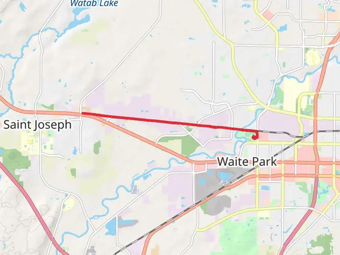
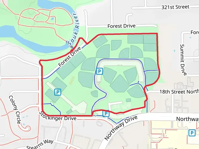
To begin your journey on the Lake Wobegon Trail, you'll want to make your way to the trailhead located near the small town of St. Joseph. If you're driving, you can park your vehicle at the trailhead parking lot, which is easily accessible from County Road 2. For those opting for public transportation, check local bus schedules as services may vary, and plan to get off at the nearest stop to the trailhead, which is typically within walking distance.
Navigating the Trail
As you embark on the trail, you can rely on HiiKER to help with navigation, ensuring you stay on the right path. The trail is well-marked, but having a digital tool can provide additional peace of mind and information about the route.
Landmarks and Scenery
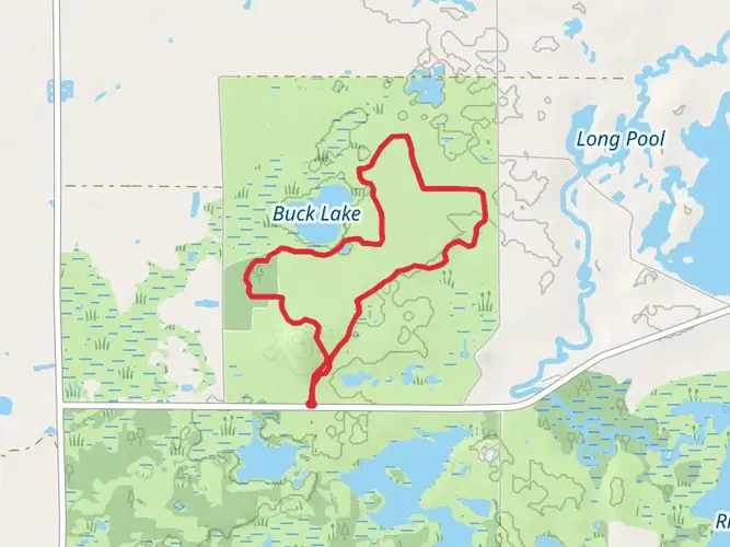
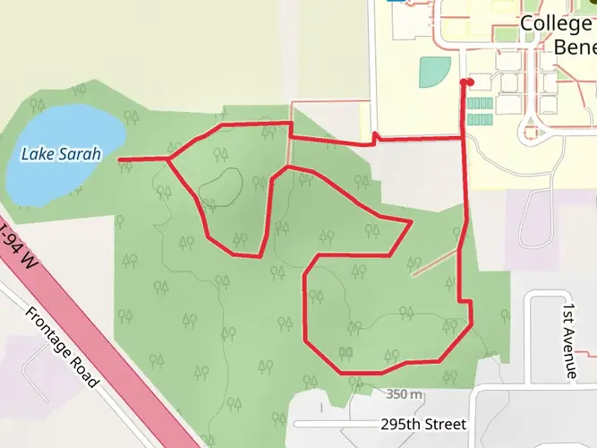
The Lake Wobegon Trail is renowned for its picturesque landscapes, including lush woodlands, open prairies, and wetlands teeming with wildlife. As you traverse the trail, you'll encounter charming small towns, each with its unique character and welcoming community. Notable towns along the route include Albany, Avon, and Holdingford, which offer perfect opportunities for rest and resupply.
Historical Significance
The region holds historical significance, with the trail itself being a converted railroad line. This transformation from a corridor of commerce to a recreational path provides a glimpse into the area's past economic lifeblood. Along the way, you'll find interpretive signs that share stories of the local history and the railroad's impact on the development of these communities.
Flora and Fauna
Nature enthusiasts will appreciate the diverse ecosystems along the Lake Wobegon Trail. The trail is a habitat for various bird species, making it a birdwatcher's delight. Keep an eye out for the majestic bald eagle and the melodic songbirds that call this area home. The surrounding flora includes a mix of native grasses and wildflowers that bloom in a kaleidoscope of colors during the spring and summer months.
Preparation and Planning
Before setting out, ensure you have adequate water and snacks, as the trail's gentle terrain can still be deceiving in length. Wear comfortable footwear suitable for paved surfaces, and consider bringing a camera to capture the serene beauty of the Minnesotan countryside. Check the weather forecast in advance, as conditions can change rapidly, and always let someone know your hiking plan.
Remember, the Lake Wobegon Trail is a multi-use path, so be prepared to share the route with cyclists and, in winter months, snowmobilers. The trail is open year-round, offering a different experience with each season, from the lush greenery of summer to the stark, snow-covered landscapes of winter.
Whether you're looking for a leisurely day hike or an extended adventure, the Lake Wobegon Trail provides a peaceful escape into the heart of Minnesota's natural beauty.

What to expect?
Activity types
Frequently asked questions
How long is the Lake Wobegon Trail and how many days does it take to complete?
The Lake Wobegon Trail is 85.16 km, or about 53 miles, with only 152 m of elevation gain, so it is a very gentle multi-day route. Strong walkers can cover it in two long days, while a more relaxed itinerary usually means two to four days with overnight stops in trail towns such as Avon, Albany, Melrose, Sauk Centre, and Osakis.
Is the Lake Wobegon Trail hard to hike, or is it suitable for beginners?
The Lake Wobegon Trail is generally considered easy. Its 85.16 km route follows a former railroad corridor, so grades stay mild and the total elevation gain is only 152 m, which makes it a good fit for beginners, families, and anyone looking for a long-distance walk without steep climbing.
Where can hikers park to access the Lake Wobegon Trail?
Parking is available at several towns along the Lake Wobegon Trail, including St. Joseph and Avon, where the Avon trailhead is at Trail-head Park on 2nd Street. Melrose also has an official trailhead with parking, and Holdingford has a trail facility used for events on the northern extension, so access is spread across the route rather than limited to one start point.
What towns and landmarks are along the Lake Wobegon Trail?
The Lake Wobegon Trail passes through or near St. Joseph, Avon, Albany, Freeport, Melrose, Sauk Centre, and Osakis, with a northern branch from Albany to Holdingford. One of the best-known landmarks on that extension is the covered bridge in Holdingford, and the west end connects with the Central Lakes State Trail in Osakis.
Is the Lake Wobegon Trail paved, and what is the terrain like for walking?
The Lake Wobegon Trail is a paved rail trail, which is one reason it feels so approachable over a long distance. The former rail corridor keeps the surface smooth and the grades gentle, so the route is more about steady mileage through central Minnesota towns and countryside than about rough footing or technical trail conditions.
Can the Lake Wobegon Trail be hiked in sections instead of all at once?
Yes. The Lake Wobegon Trail is especially well suited to section hiking because it runs through multiple access towns, including St. Joseph, Avon, Albany, Melrose, Sauk Centre, and Osakis, plus the Albany to Holdingford extension. That makes it easy to break the 85.16 km route into shorter day hikes of roughly 5 to 10 miles between trail communities.
Does the Lake Wobegon Trail connect to other trails in Minnesota?
Yes. At Osakis, the Lake Wobegon Trail connects to the Central Lakes State Trail, extending the paved corridor farther west across Minnesota. North of Holdingford, the trail system also links toward the Soo Line Trail corridor, so the route works well as part of a longer regional outing rather than a stand-alone path.
Comments and Reviews
User comments, reviews and discussions about the Lake Wobegon Trail, Minnesota.
4.69
average rating out of 5
13 rating(s)