The best hikes in Rice County
Minnesota · 22 HiiKER Hikes
View Hikes on map

What to expect
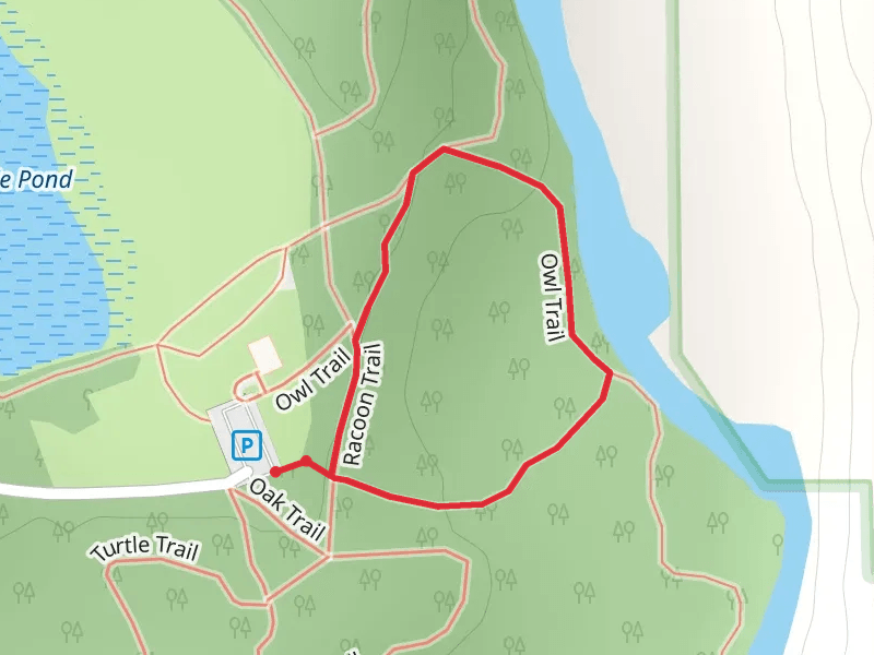
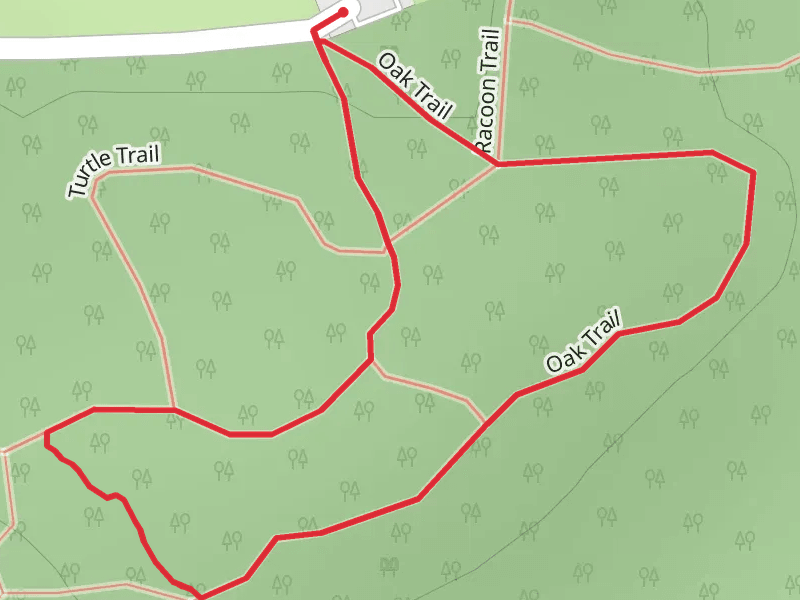
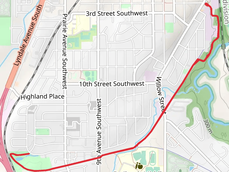
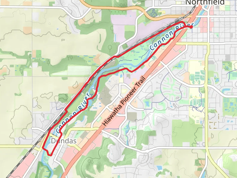
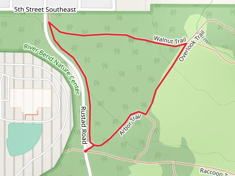
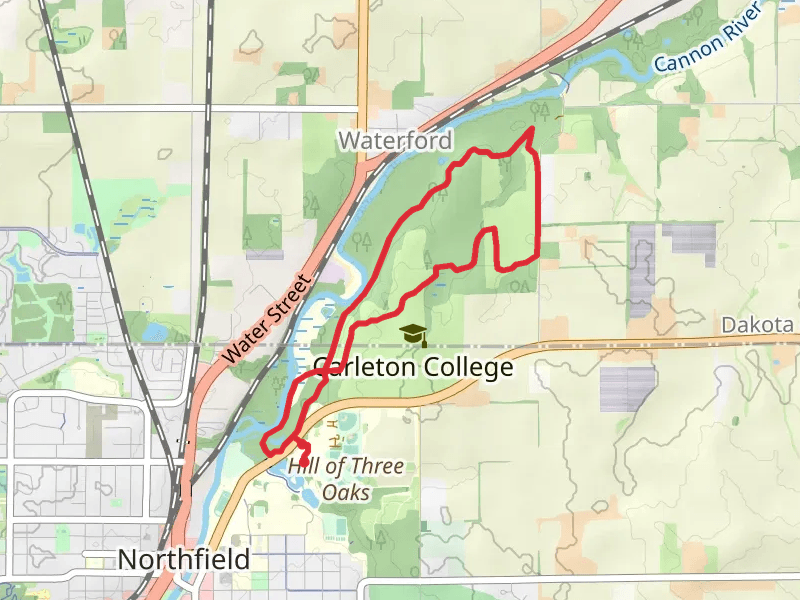
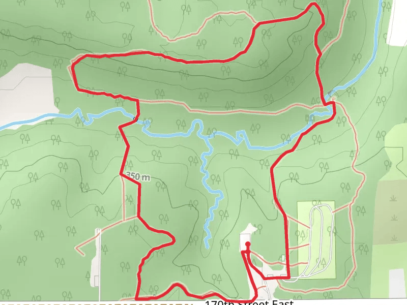
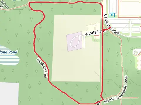
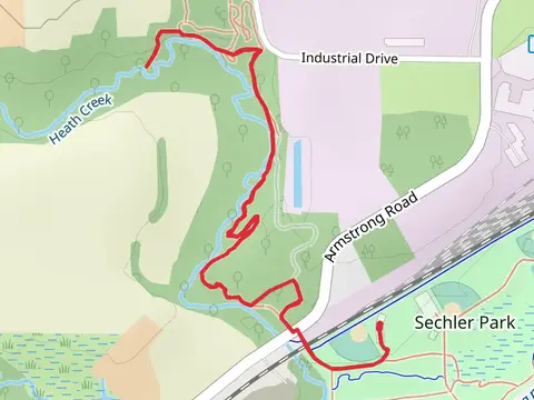
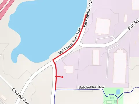
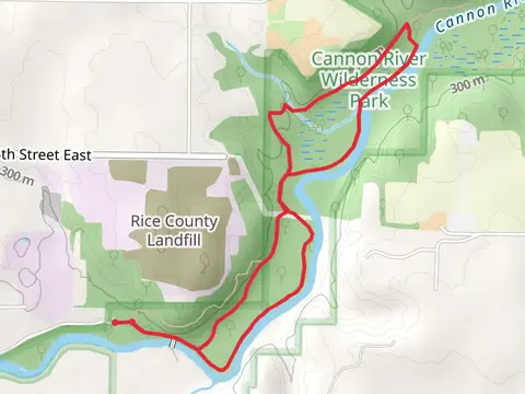
Check out some of the best hiking, walking and backpacking routes in Rice County, Minnesota. The Owl Loop Trail is the most popular trail. There are trails of various difficulty levels including easy and medium. The trail with the highest elevation climb is the Hidden Falls, Beaver and White Oak Loop Trail and the trail with the least amount of climbing is the East River Trail and Mill Town State Trail Loop. The longest trail is the Hidden Falls, Hope, Fawn and White Oak Loop Trail at 13.0 km. For a shorter adventure you can try the Owl Loop Trail at 900 m. Get off line access to Fastfood, Shop, Shelter, and Restaurant locations and much more with a Hiiker subscription.

Be prepared for hiking in Minnesota with the HiiKER app