Download
Preview
Add to list
More
104.1 km
~6 days
2296 m
Multi-Day
“The Border Route Trail: a historic, wildlife-rich trek through Minnesota's scenic Northwoods and rugged terrains.”
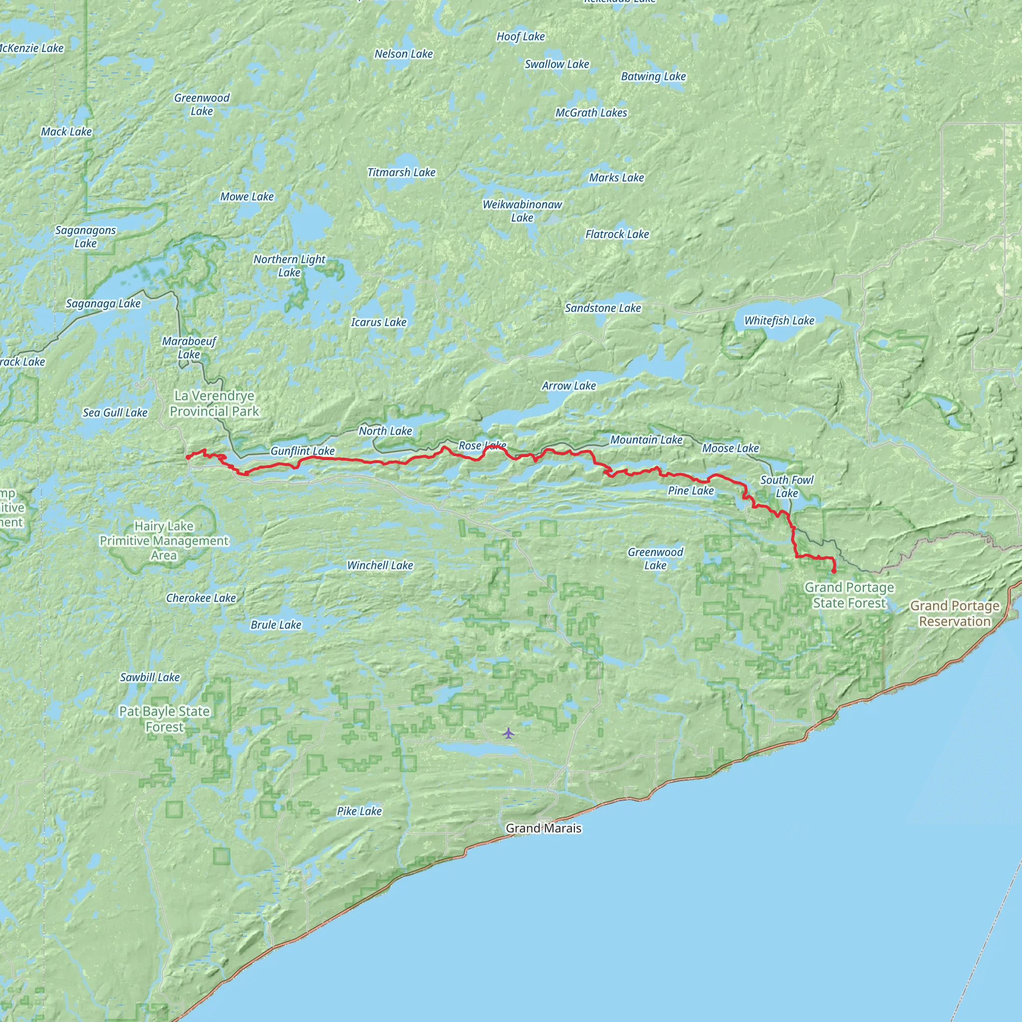
Nestled in the rugged wilderness of the Superior National Forest, the Border Route Trail offers an immersive experience through the heart of the Northwoods. Spanning approximately 104 kilometers (about 65 miles) with an elevation gain of around 2200 meters (approximately 7200 feet), this point-to-point trail is a journey through a landscape rich with natural beauty and historical significance.
Getting to the Trailhead The trailhead is located near Cook County, Minnesota, and is accessible by car. For those starting at the western end, you can reach the trailhead by driving on Gunflint Trail (County Road 12) out of Grand Marais, following it until you reach the turnoff for the trail's western terminus. If you're approaching from the east, you'll find the eastern trailhead by taking Highway 61 to County Road 17 (Arrowhead Trail) and following it to the Otter Lake Road junction.
Navigating the Trail Hikers can rely on HiiKER to navigate the trail, ensuring they stay on the correct path through the dense forest and rugged terrain. The trail is marked, but due to the remote nature of the area, it's essential to have a reliable navigation tool.
Landmarks and Scenery As you traverse the Border Route Trail, you'll encounter a variety of landscapes, from dense boreal forests to rocky cliffs offering panoramic views of the Boundary Waters Canoe Area Wilderness (BWCAW). The trail often follows ridgelines, providing hikers with stunning vistas of the surrounding lakes and wilderness.
One of the most notable landmarks is the Rose Falls, a picturesque cascade that offers a serene spot for a break. Approximately 32 kilometers (20 miles) from the western trailhead, the falls are a highlight for many hikers.
Wildlife and Nature The area is teeming with wildlife, including moose, black bears, and a variety of bird species such as the common loon, whose haunting calls echo across the lakes. Hikers should be prepared for encounters with wildlife and know how to safely observe and respect these creatures from a distance.
Historical Significance The Border Route Trail runs along the international boundary between the United States and Canada, a region that was once a vital part of the fur trade route. As you hike, you're following in the footsteps of early voyageurs who navigated these lands by canoe, trading furs and goods with the indigenous peoples.
Trail Conditions and Preparation The trail is rated as medium difficulty, with some challenging sections that require good physical fitness. The terrain includes steep climbs, rocky outcrops, and occasional wet areas. Hikers should be prepared with appropriate footwear, clothing, and gear for variable conditions.
Seasonal Considerations The best time to hike the Border Route Trail is from late spring to early fall when the snow has melted, and the trails are more accessible. However, hikers should be aware of the potential for mosquitoes and blackflies during the warmer months and prepare accordingly.
Leave No Trace As with any wilderness trail, it's crucial to practice Leave No Trace principles. This means packing out all trash, being careful with campfires, and minimizing your impact on the environment to preserve the beauty and integrity of the trail for future hikers.
Conclusion The Border Route Trail is a journey through a historically rich and ecologically diverse landscape. With proper preparation and respect for the natural environment, hikers can enjoy a truly memorable experience in the heart of Minnesota's wilderness.
What to expect?
Activity types
Comments and Reviews
User comments, reviews and discussions about the Border Route Trail, Minnesota.
4.55
average rating out of 5
11 rating(s)

