The best hikes in Clay County
Minnesota · 9 HiiKER Hikes
View Hikes on map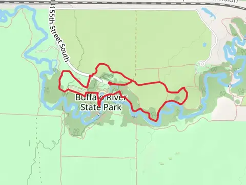

What to expect
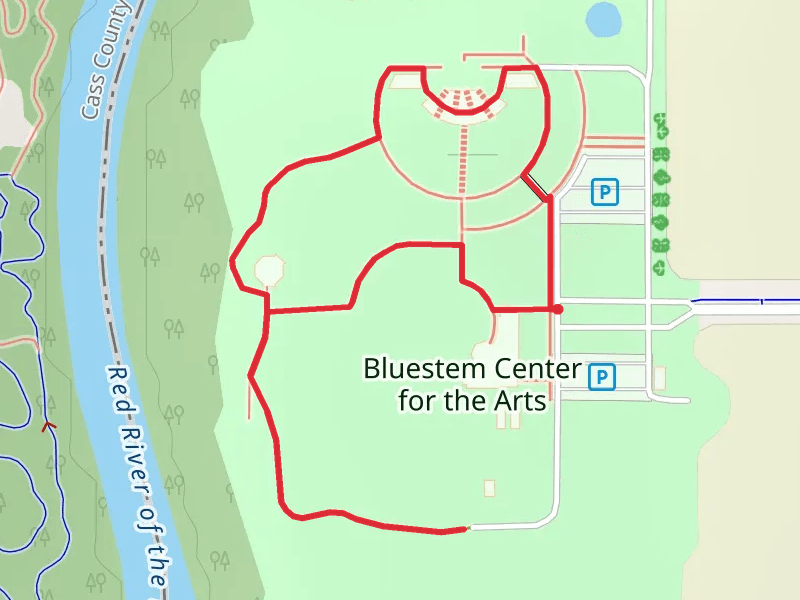
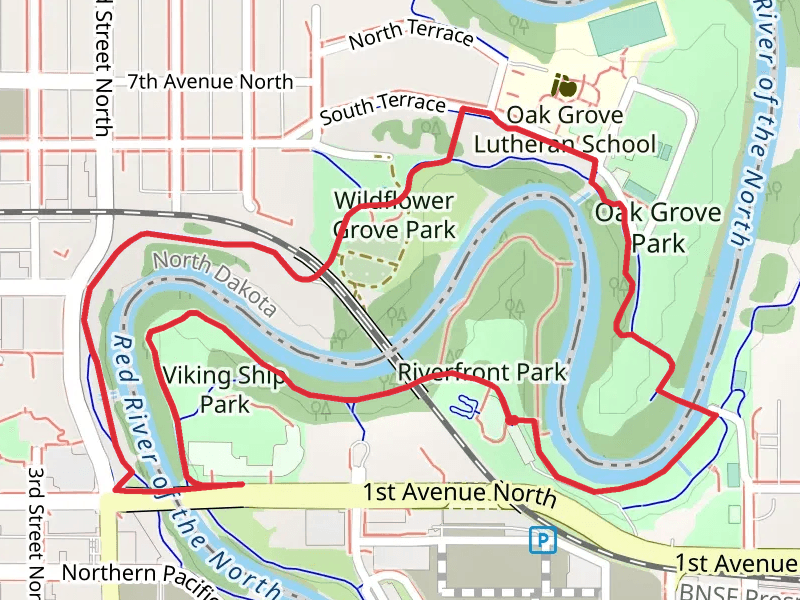
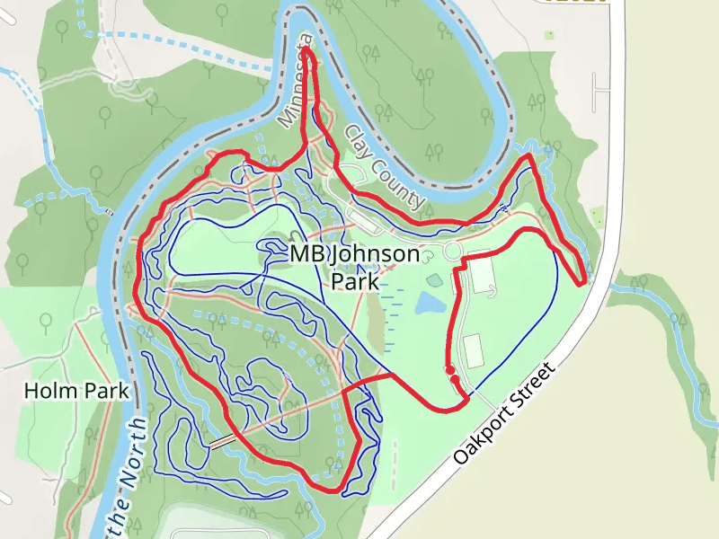
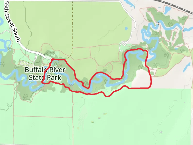
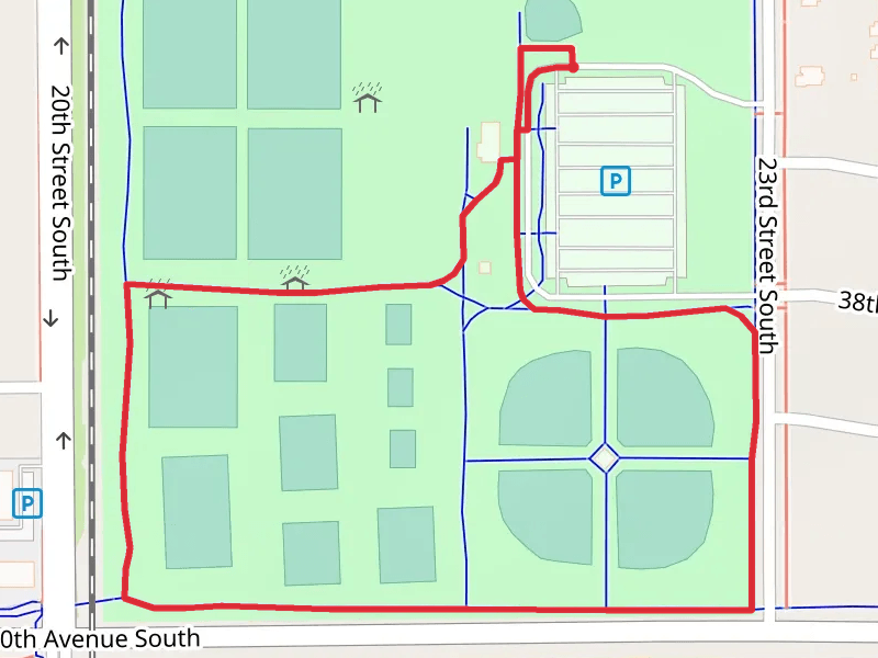
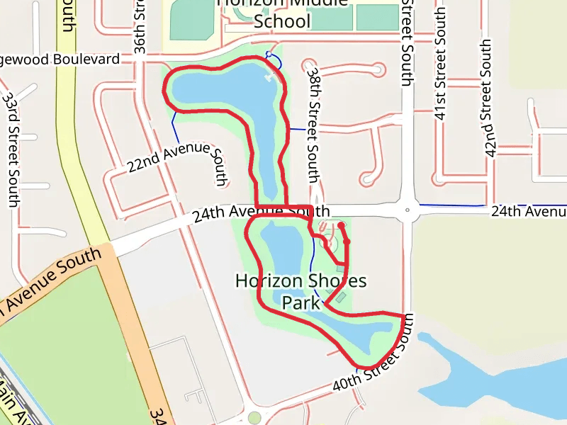
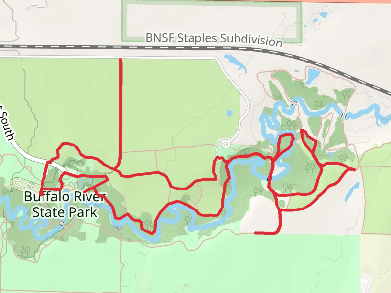
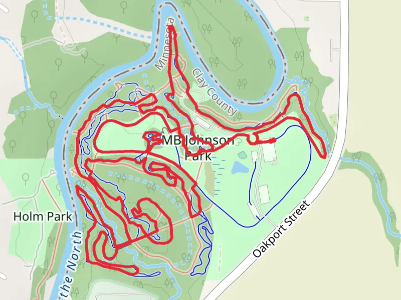
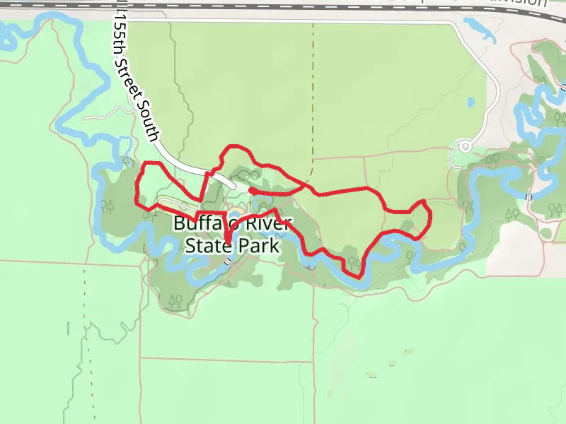
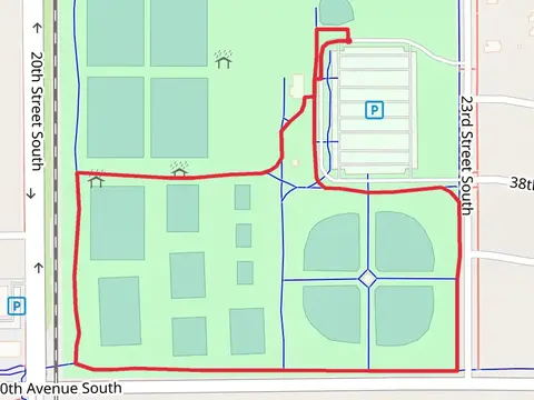
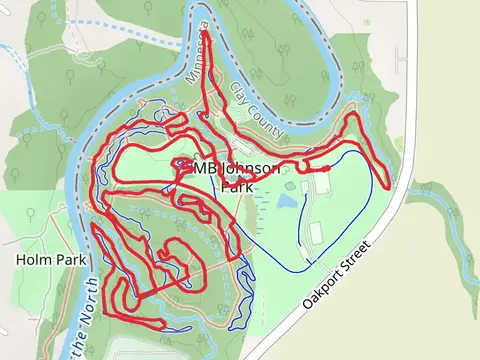
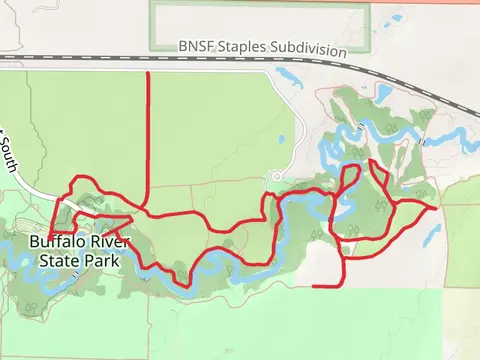
Check out some of the best hiking, walking and backpacking routes in Clay County, Minnesota. The Bluestem Center for the Arts Loop is the most popular trail. The trail with the highest elevation climb is the Buffalo River State Park Loop and the trail with the least amount of climbing is the MB Johnson Park Long Loop. The longest trail is the Buffalo River State Park Loop at 10.1 km. For a shorter adventure you can try the Bluestem Center for the Arts Loop at 1.6 km. Get off line access to Healthcare, Restaurant, Fastfood, and Shelter locations and much more with a Hiiker subscription.

Be prepared for hiking in Minnesota with the HiiKER app