The best hikes in Chisago County
Minnesota · 10 HiiKER Hikes
View Hikes on map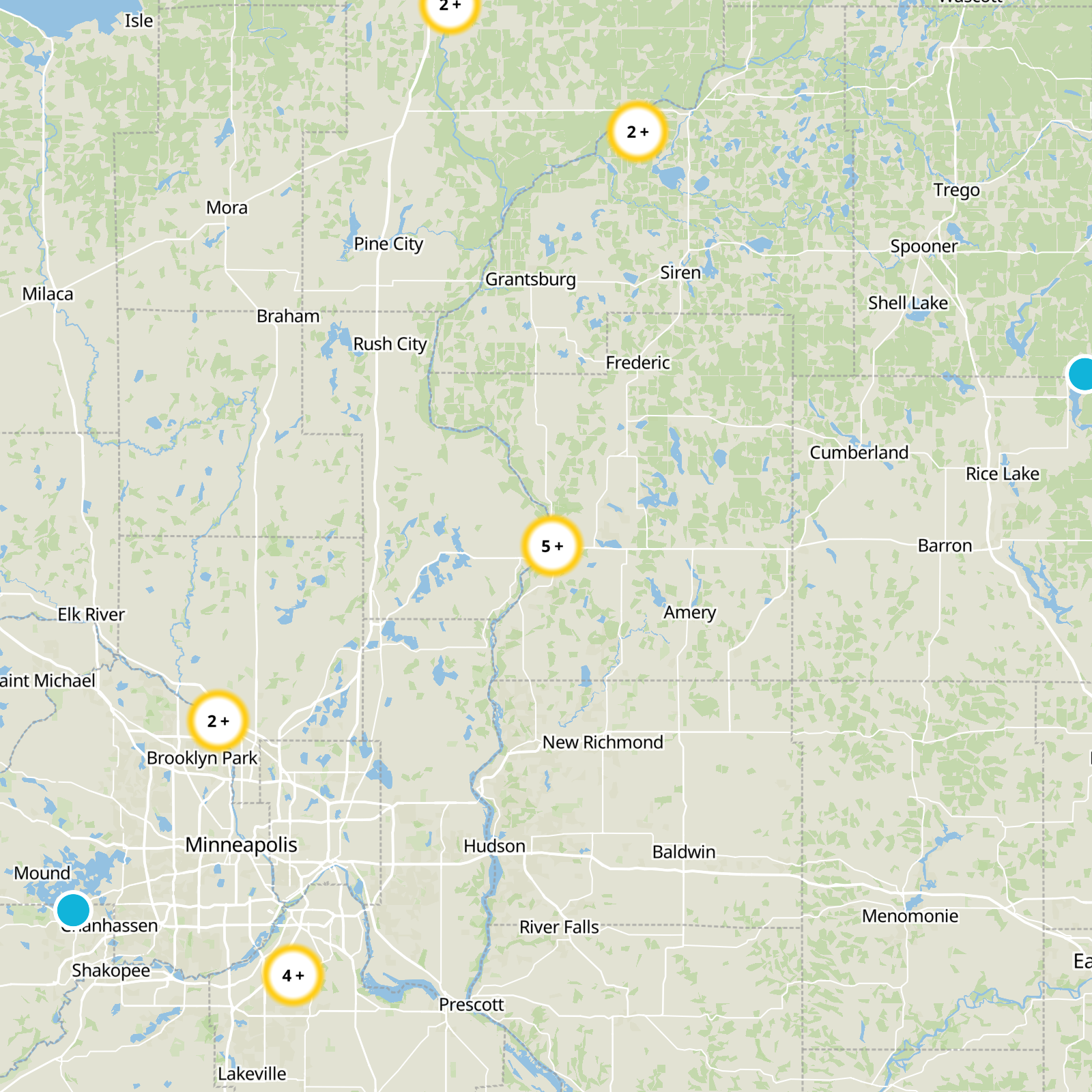
What to expect
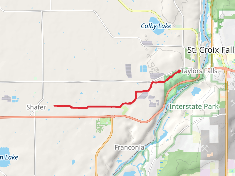
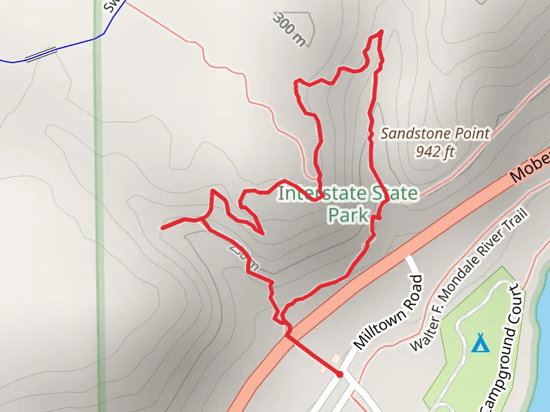
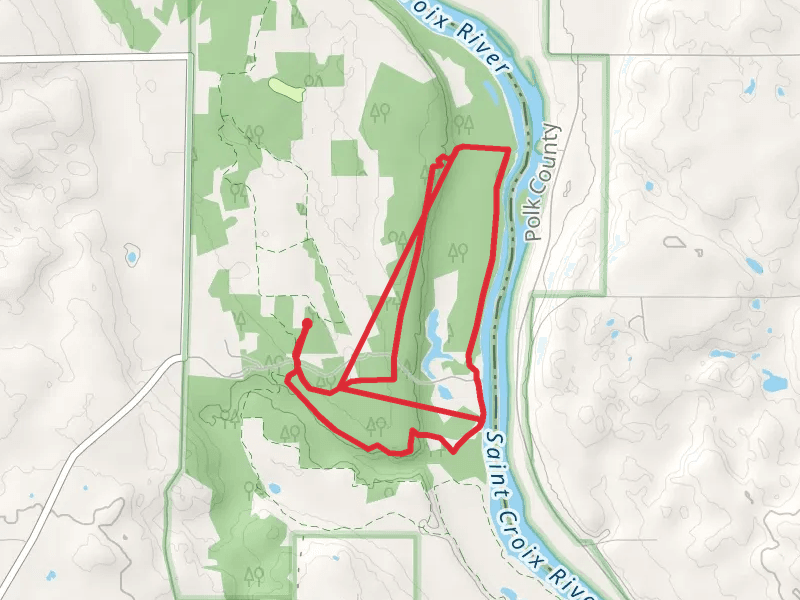
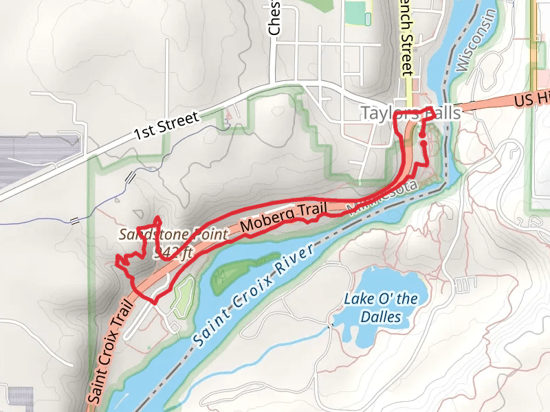
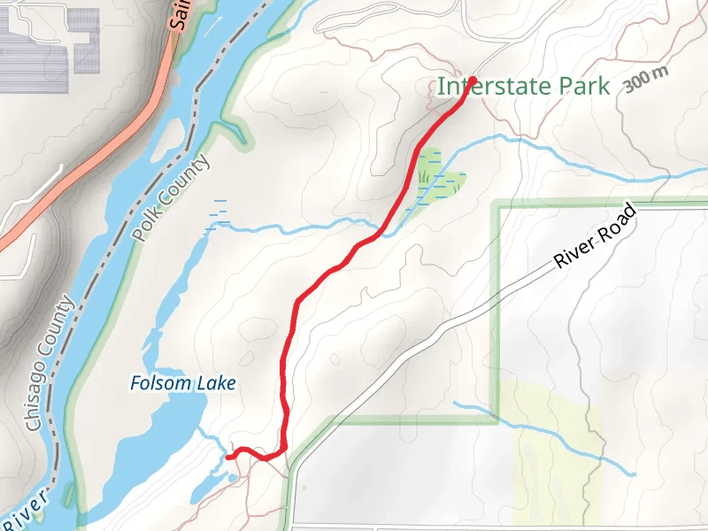
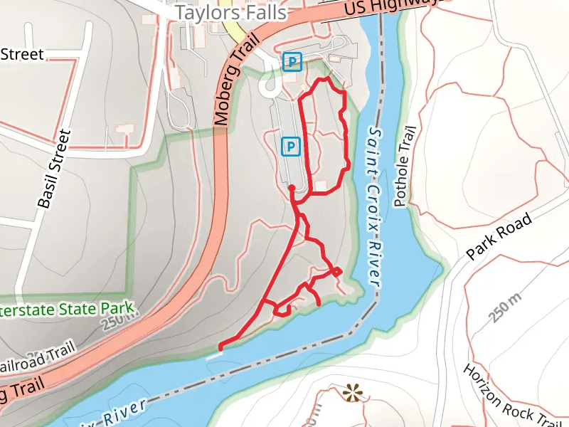
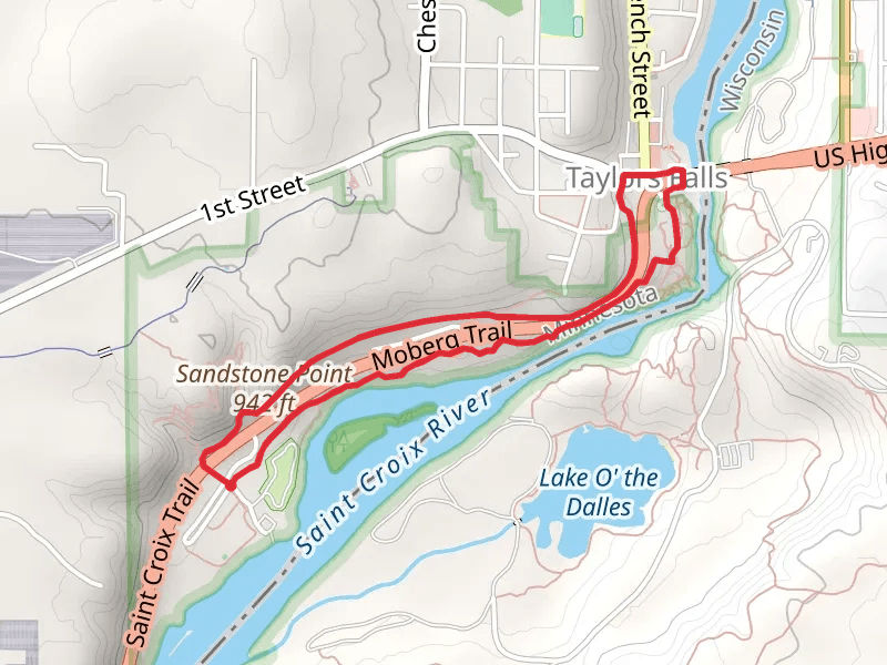
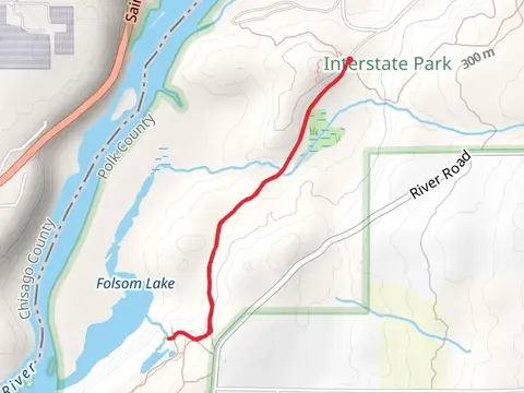
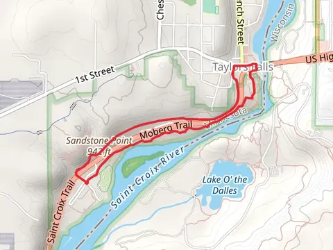
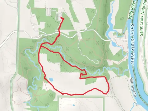
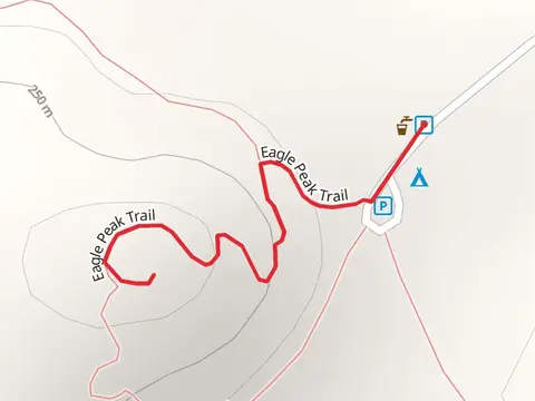
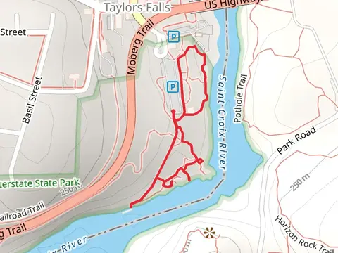
Check out some of the best hiking, walking and backpacking routes in Chisago County, Minnesota. The Saint Croix River is the most popular trail. There are trails of various difficulty levels including easy and medium. The trail with the highest elevation climb is the Swedish Immigrant Trail and the trail with the least amount of climbing is the Loop beside Saint Croix River - South Street. The longest trail is the Swedish Immigrant Trail at 13.9 km. For a shorter adventure you can try the Eagle Peak Trail from Interstate State Park WI Group Campground at 838 m. Get off line access to Shop, Campsite, Restaurant, and Shelter locations and much more with a Hiiker subscription.

Be prepared for hiking in Minnesota with the HiiKER app