The best hikes in Otsego County
Michigan · 7 HiiKER Hikes
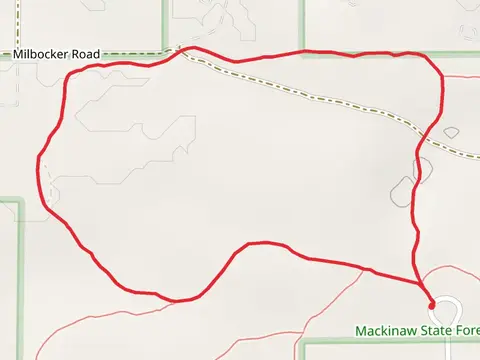
View Hikes on map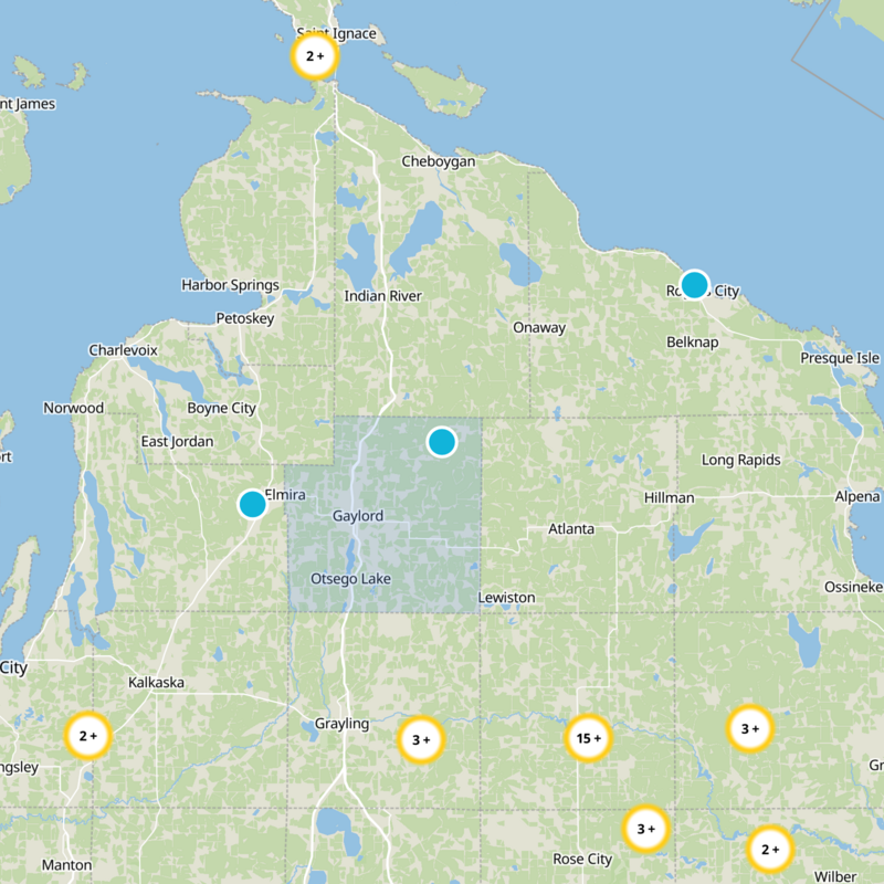


What to expect
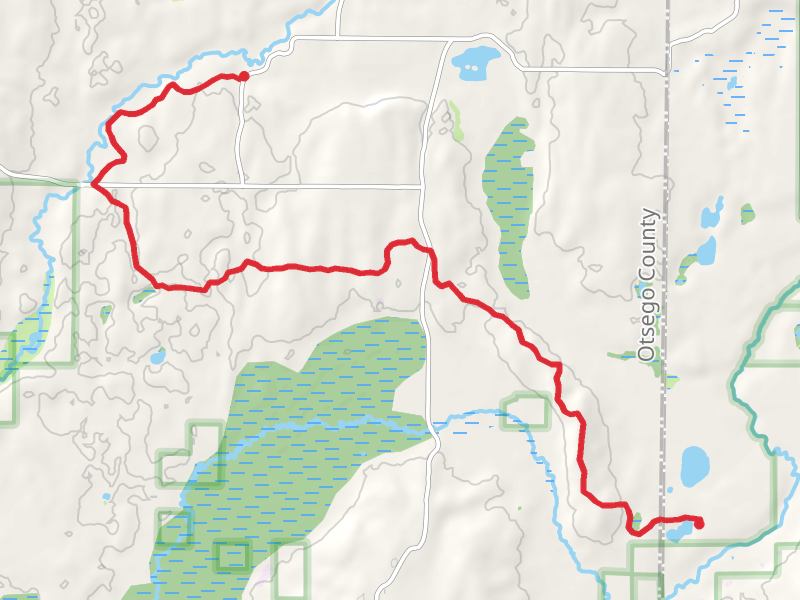
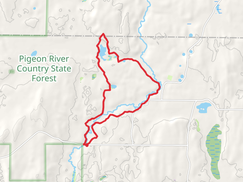
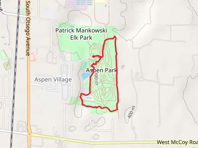
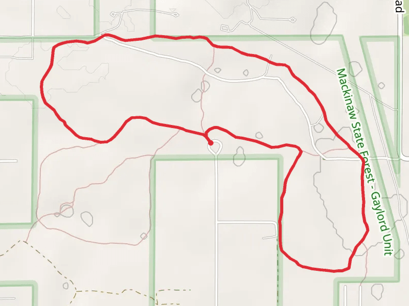
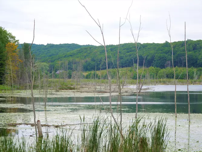
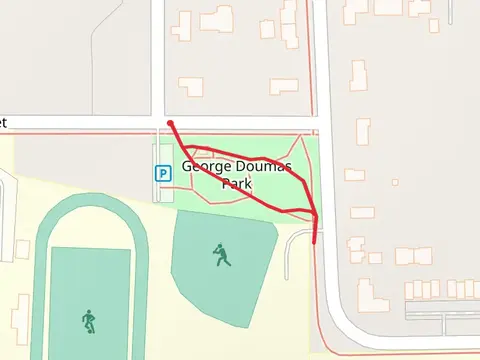
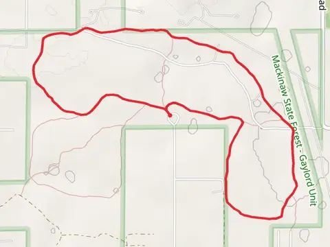
Check out some of the best hiking, walking and backpacking routes in Otsego County, Michigan. The High Country Pathway is the most popular trail. The trails have 151 user reviews with great photos and information. There are trails of various difficulty levels including easy and medium. The trail with the highest elevation climb is the Aspen Single Track and Pond Loop Trail and the trail with the least amount of climbing is the Pigeon Bridge and Grass Lake Loop via Fisherman Road. The longest trail is the High Country Pathway at 117.9 km. For a shorter adventure you can try the Doumas Park Loop at 304 m. Get off line access to Water, Fastfood, Restaurant, and Shop locations and much more with a Hiiker subscription.

Be prepared for hiking in Michigan with the HiiKER app