Download
3D Flyover
Add to list
More
43.4 km
~2 days
54 m
Out and Back
“Discover Michigan's serene Pere Marquette State Trail, ideal for all hikers amidst lush, historical landscapes.”
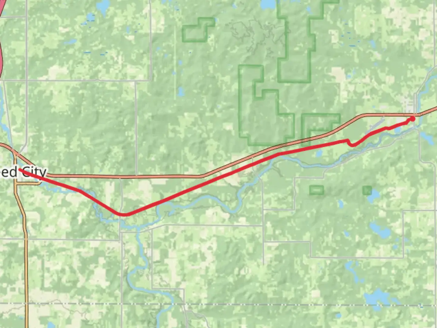
Nestled in the scenic landscapes of Michigan, the Pere Marquette State Trail offers a delightful hiking experience stretching approximately 43 kilometers (about 27 miles) with virtually no elevation gain, making it an ideal choice for hikers of all skill levels. This out-and-back trail begins near Osceola County, Michigan, and is renowned for its easy terrain and picturesque surroundings.
Getting There
To reach the trailhead, travelers can drive to Osceola County, Michigan. If you're using public transportation, the nearest major city is Grand Rapids, Michigan. From there, you can rent a car or use local bus services to reach the trailhead. The trailhead is conveniently located near the town of Reed City, which serves as a good reference point for navigation.
Trail Highlights
The Pere Marquette State Trail is a converted rail-trail, which means it follows the path of a former railway line. This provides a flat and smooth surface, perfect for a leisurely hike or a brisk walk. The trail is part of the larger Rails-to-Trails Conservancy network, which aims to transform unused rail corridors into vibrant public spaces.
Natural Beauty and Wildlife
As you traverse the trail, you'll be surrounded by lush forests and open fields, offering a serene escape into nature. The trail is lined with a variety of native trees, including oak, maple, and pine, providing ample shade and a vibrant display of colors, especially during the fall. Wildlife enthusiasts may spot deer, rabbits, and a variety of bird species, making it a great spot for birdwatching.
Historical Significance
The trail's history as a former railway line adds a layer of historical intrigue. The Pere Marquette Railway was a significant transportation route in the late 19th and early 20th centuries, facilitating the movement of goods and people across Michigan. As you hike, you might imagine the trains that once chugged along this path, connecting communities and fostering economic growth.
Navigation and Amenities
Hikers are encouraged to use the HiiKER app for navigation, which provides detailed maps and real-time updates on trail conditions. The trail is well-marked, but having a reliable navigation tool ensures a smooth hiking experience.
Along the trail, you'll find several rest areas equipped with benches and picnic tables, perfect for a break or a scenic lunch. There are also a few small towns along the route, such as Evart and Hersey, where you can find amenities like restrooms, water, and local eateries.
Planning Your Hike
Given the trail's easy difficulty rating, it's suitable for families, beginners, and those looking for a relaxed outdoor adventure. The flat terrain makes it accessible for cyclists and those with mobility challenges as well. It's advisable to check the weather forecast before heading out, as the trail can become muddy after heavy rain.
Whether you're seeking a peaceful walk through nature or a historical journey along a former railway, the Pere Marquette State Trail offers a unique and enjoyable hiking experience in the heart of Michigan.

What to expect?
Activity types
Comments and Reviews
User comments, reviews and discussions about the Pere Marquette State Trail, Michigan.
average rating out of 5
0 rating(s)