The best hikes in Worcester County
Massachusetts · 302 HiiKER Hikes
View Hikes on map
What to expect
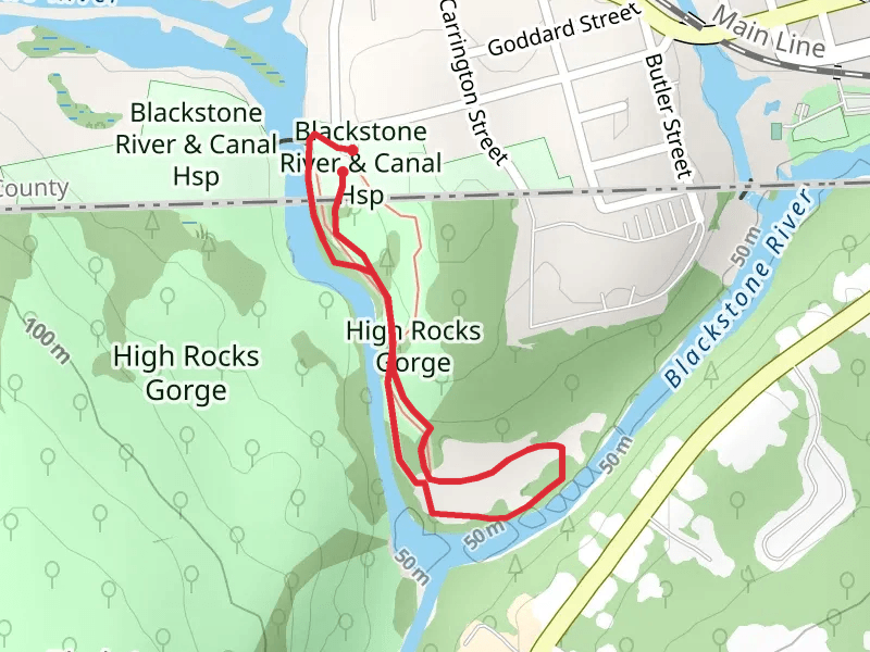
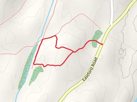
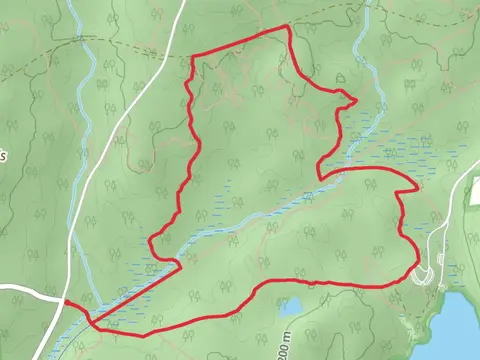
Check out some of the best hiking, walking and backpacking routes in Worcester County, Massachusetts. The Tully Trail is the most popular trail. The trails have 4815 user reviews with great photos and information. There are trails of various difficulty levels including easy, medium, difficult, and extra difficult. The trail with the highest elevation climb is the Wapack Trail and the trail with the least amount of climbing is the High Rocks Gorge via Blackstone River. The longest trail is the Burnshirt River Out and Back at 41.7 km. For a shorter adventure you can try the Lawrence Brook Out and Back at 675 m. Get off line access to Fastfood, History, Town, and Peak locations and much more with a Hiiker subscription.

Be prepared for hiking in Massachusetts with the HiiKER app